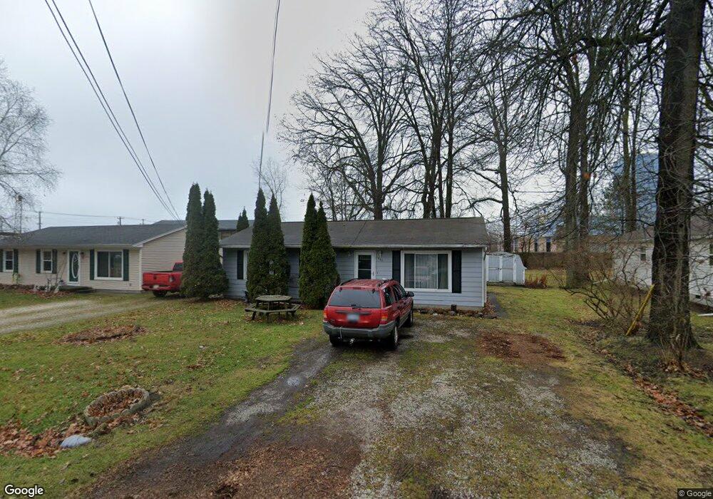
907 Worfolk Dr Algonac, MI 48001
Estimated Value: $152,840 - $169,000
3
Beds
1
Bath
1,008
Sq Ft
$160/Sq Ft
Est. Value
About This Home
This home is located at 907 Worfolk Dr, Algonac, MI 48001 and is currently estimated at $161,210, approximately $159 per square foot. 907 Worfolk Dr is a home located in St. Clair County with nearby schools including Algonac Junior/Senior High School.
Ownership History
Date
Name
Owned For
Owner Type
Purchase Details
Closed on
May 24, 2011
Sold by
Bac Home Loans Servicing Lp
Bought by
Fannie Mae
Current Estimated Value
Purchase Details
Closed on
Oct 7, 2010
Sold by
Charlesworth Terry L
Bought by
Bac Home Loans Servicing Lp
Purchase Details
Closed on
Sep 29, 2006
Sold by
Barnett Nicholas A and Barnett Maria
Bought by
Charlesworth Terry L
Home Financials for this Owner
Home Financials are based on the most recent Mortgage that was taken out on this home.
Original Mortgage
$80,000
Interest Rate
6.5%
Mortgage Type
New Conventional
Create a Home Valuation Report for This Property
The Home Valuation Report is an in-depth analysis detailing your home's value as well as a comparison with similar homes in the area
Home Values in the Area
Average Home Value in this Area
Purchase History
| Date | Buyer | Sale Price | Title Company |
|---|---|---|---|
| Fannie Mae | -- | None Available | |
| Bac Home Loans Servicing Lp | $84,141 | None Available | |
| Charlesworth Terry L | $100,000 | Devon Title Agency |
Source: Public Records
Mortgage History
| Date | Status | Borrower | Loan Amount |
|---|---|---|---|
| Previous Owner | Charlesworth Terry L | $80,000 |
Source: Public Records
Tax History Compared to Growth
Tax History
| Year | Tax Paid | Tax Assessment Tax Assessment Total Assessment is a certain percentage of the fair market value that is determined by local assessors to be the total taxable value of land and additions on the property. | Land | Improvement |
|---|---|---|---|---|
| 2025 | $1,507 | $57,200 | $0 | $0 |
| 2024 | $1,418 | $55,300 | $0 | $0 |
| 2023 | $1,316 | $46,400 | $0 | $0 |
| 2022 | $1,326 | $39,500 | $0 | $0 |
| 2021 | $1,286 | $34,700 | $0 | $0 |
| 2020 | $1,287 | $30,800 | $5,000 | $25,800 |
| 2019 | $1,264 | $26,600 | $0 | $0 |
| 2018 | $1,245 | $21,900 | $0 | $0 |
| 2017 | $1,192 | $21,300 | $0 | $0 |
| 2016 | $1,132 | $21,300 | $0 | $0 |
| 2015 | -- | $20,300 | $5,000 | $15,300 |
| 2014 | -- | $17,900 | $5,000 | $12,900 |
| 2013 | -- | $17,900 | $0 | $0 |
Source: Public Records
Map
Nearby Homes
- 503 Fassett St
- 953 Robbins Dr
- 701 Pointe Tremble Rd
- 685 Townsend Ct
- 917 St Clair Blvd
- 408 Conley St
- 1021 Market St
- 328 Heritage Way
- 9575 Rachel Rd
- 321 Heritage Way Unit 13
- 429 Edgewater Dr
- 488 Lathrop St
- 711 Smith St
- 925 Golfview St
- 304 Kama Ct
- 2866 Fruit St
- 618 Green St
- 1125 N Channel Dr
- 1523 Saint Clair River Dr
- 1600 N Channel Dr
- 903 Worfolk Dr
- 911 Worfolk Dr
- 501 Henrietta St
- 915 Worfolk Dr
- 507 Henrietta St
- 500 Fassett St
- 502 Fassett St
- 502 Henrietta St
- 2105 Worfolk Dr
- 513 Henrietta St
- 504 Fassett St
- 602 Worfolk Dr
- 606 Worfolk Dr
- 501 Fassett St
- 506 Henrietta St
- 2115 Worfolk Dr
- 2115 Worfolk Dr
- 506 Fassett St
- 515 Henrietta St
- 510 Fassett St