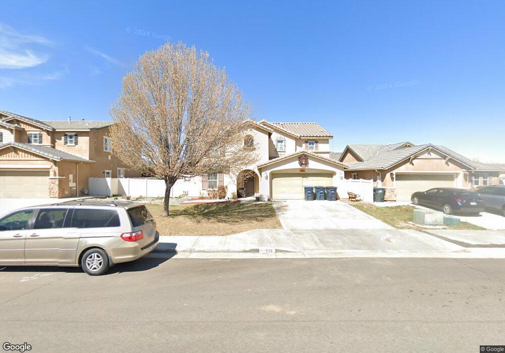
913 Cathy Ln Tehachapi, CA 93561
Estimated Value: $438,000 - $561,000
4
Beds
3
Baths
1,225
Sq Ft
$404/Sq Ft
Est. Value
About This Home
This home is located at 913 Cathy Ln, Tehachapi, CA 93561 and is currently estimated at $494,847, approximately $403 per square foot. 913 Cathy Ln is a home located in Kern County with nearby schools including Tompkins Elementary School, Jacobsen Middle School, and Tehachapi High School.
Ownership History
Date
Name
Owned For
Owner Type
Purchase Details
Closed on
Oct 6, 2008
Sold by
Kb Home Greater Los Angeles Inc
Bought by
Fikter Christopher B and Fikter Perla T
Current Estimated Value
Home Financials for this Owner
Home Financials are based on the most recent Mortgage that was taken out on this home.
Original Mortgage
$237,281
Outstanding Balance
$157,484
Interest Rate
6.39%
Mortgage Type
FHA
Estimated Equity
$337,363
Create a Home Valuation Report for This Property
The Home Valuation Report is an in-depth analysis detailing your home's value as well as a comparison with similar homes in the area
Home Values in the Area
Average Home Value in this Area
Purchase History
| Date | Buyer | Sale Price | Title Company |
|---|---|---|---|
| Fikter Christopher B | $241,000 | First American Title Ins Co |
Source: Public Records
Mortgage History
| Date | Status | Borrower | Loan Amount |
|---|---|---|---|
| Open | Fikter Christopher B | $237,281 |
Source: Public Records
Tax History
| Year | Tax Paid | Tax Assessment Tax Assessment Total Assessment is a certain percentage of the fair market value that is determined by local assessors to be the total taxable value of land and additions on the property. | Land | Improvement |
|---|---|---|---|---|
| 2025 | $4,202 | $310,332 | $64,379 | $245,953 |
| 2024 | $4,058 | $304,248 | $63,117 | $241,131 |
| 2023 | $4,058 | $298,283 | $61,880 | $236,403 |
| 2022 | $3,994 | $292,435 | $60,667 | $231,768 |
| 2021 | $3,925 | $286,702 | $59,478 | $227,224 |
| 2020 | $3,934 | $283,764 | $58,869 | $224,895 |
| 2019 | $3,918 | $283,764 | $58,869 | $224,895 |
| 2018 | $3,781 | $272,747 | $56,584 | $216,163 |
| 2017 | $3,755 | $267,400 | $55,475 | $211,925 |
| 2016 | $3,661 | $262,158 | $54,388 | $207,770 |
| 2015 | $3,489 | $258,222 | $53,572 | $204,650 |
| 2014 | $3,472 | $253,165 | $52,523 | $200,642 |
Source: Public Records
Map
Nearby Homes
- 0 Dennison Rd Unit 9993470
- 0 Dennison Rd Unit 202601608
- 0 Dennison Rd Unit 202401345
- 0 Dennison Rd Unit 202500887
- 907 Valerie Ln
- 1008 Maggie Ln
- 600 S Dennison Rd Unit 1
- 600 S Dennison Rd Unit 27
- 600 S Dennison Rd Unit 65
- 600 S Dennison Rd Unit Spc 109
- 600 S Dennison Rd Unit 24
- 600 S Dennison Rd Unit 120
- 600 S Dennison Rd Unit 35
- 600 S Dennison Rd Unit 4
- 600 S Dennison Rd Unit 65
- 504 Mesquite Dr
- 403 Mesquite Dr
- 333 S Dennison Rd Unit 63
- 333 S Dennison Rd Unit 53
- 260 Pinon St
Your Personal Tour Guide
Ask me questions while you tour the home.