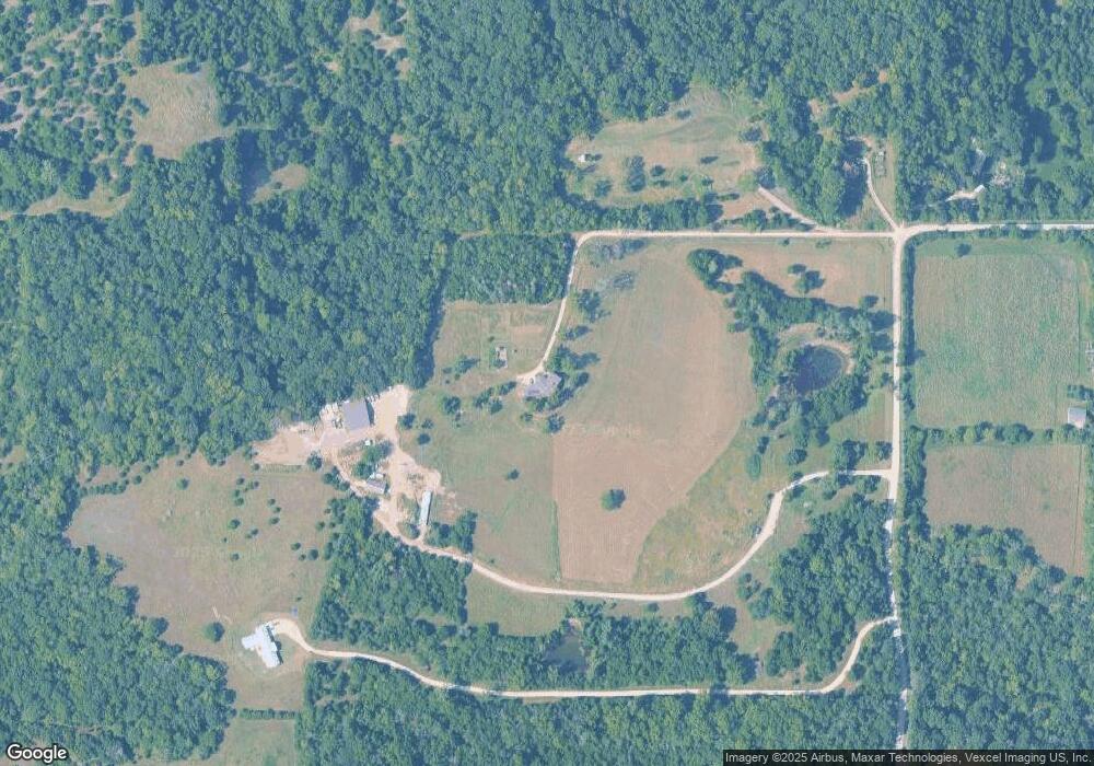
933 N 1950 Rd Lawrence, KS 66049
Scenic Riverway NeighborhoodEstimated Value: $530,000 - $586,000
4
Beds
4
Baths
3,565
Sq Ft
$159/Sq Ft
Est. Value
About This Home
This home is located at 933 N 1950 Rd, Lawrence, KS 66049 and is currently estimated at $566,291, approximately $158 per square foot. 933 N 1950 Rd is a home located in Douglas County with nearby schools including Lecompton Elementary School, Perry-Lecompton Middle School, and Perry-Lecompton High School.
Ownership History
Date
Name
Owned For
Owner Type
Purchase Details
Closed on
Dec 19, 2011
Sold by
Smith Ralph M and Smith Rachel Churchill
Bought by
Ingalls Michael A and Ingalls Melissa B
Current Estimated Value
Home Financials for this Owner
Home Financials are based on the most recent Mortgage that was taken out on this home.
Original Mortgage
$160,000
Outstanding Balance
$109,556
Interest Rate
4.03%
Mortgage Type
New Conventional
Estimated Equity
$456,735
Create a Home Valuation Report for This Property
The Home Valuation Report is an in-depth analysis detailing your home's value as well as a comparison with similar homes in the area
Home Values in the Area
Average Home Value in this Area
Purchase History
| Date | Buyer | Sale Price | Title Company |
|---|---|---|---|
| Ingalls Michael A | -- | Kansas Secured Title |
Source: Public Records
Mortgage History
| Date | Status | Borrower | Loan Amount |
|---|---|---|---|
| Open | Ingalls Michael A | $160,000 |
Source: Public Records
Tax History
| Year | Tax Paid | Tax Assessment Tax Assessment Total Assessment is a certain percentage of the fair market value that is determined by local assessors to be the total taxable value of land and additions on the property. | Land | Improvement |
|---|---|---|---|---|
| 2025 | $5,922 | $51,726 | $8,585 | $43,141 |
| 2024 | $5,413 | $47,483 | $8,070 | $39,413 |
| 2023 | $5,206 | $44,084 | $7,581 | $36,503 |
| 2022 | $4,884 | $39,995 | $6,600 | $33,395 |
| 2021 | $4,365 | $34,218 | $6,485 | $27,733 |
| 2020 | $4,201 | $33,464 | $6,467 | $26,997 |
| 2019 | $3,666 | $29,286 | $3,881 | $25,405 |
| 2018 | $3,600 | $28,692 | $3,762 | $24,930 |
| 2017 | $3,562 | $28,245 | $3,735 | $24,510 |
| 2016 | $3,433 | $27,675 | $2,455 | $25,220 |
| 2015 | $3,370 | $27,657 | $2,437 | $25,220 |
| 2014 | $3,359 | $27,642 | $2,422 | $25,220 |
Source: Public Records
Map
Nearby Homes
- 1884 E 978th Rd
- 6800 Lakeview Rd
- 1792 E 1068 Rd
- 00000 Vacant - Phillips Rd
- 323 N Eaton Dr
- 326 Parker Cir
- 732 N Blazing Star Dr
- 615 N Pennycress Dr
- 826 N Field Stone Dr
- 237 Landon Ct
- 0000 N 1851 Diag Rd
- 663 N 1851 Diag Rd
- 3503 Firefly Ct
- 420 Winnie Way
- 406 N Olivia Ave
- 3508 Prairie Clover Ct
- 5245 Overland Dr Unit B23
- 1825 E 600 Rd
- 125 Sharon Dr
- 908 & 910 Alma Dr
- Land 1950 Rd
- 946 N 1950 Rd
- 1929 E 950th Rd
- 948 N 1950 Rd
- 1933 E 950 Rd
- 954 N 1950 Rd
- 885 N 1928 Rd
- 885 N 1928th Rd
- 1924 E 950th Rd
- 1924 E 950th Rd
- 898 N 1928th Rd
- 889 N 1928 Rd
- 889 N 1928th Rd
- 1901 E 950th Rd
- 968 N 1950 Rd
- 881 N 1928th Rd
- 899 N 1928th Rd Unit B
- 899 B N 1928 Rd
- 0000 E 950
- 899 N 1928 Rd
