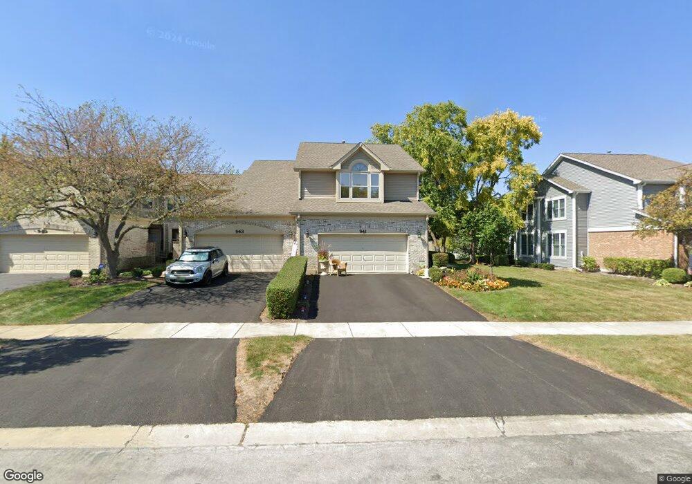
941 Heathrow Ln Naperville, IL 60540
West Wind NeighborhoodEstimated Value: $423,000 - $481,000
3
Beds
3
Baths
1,940
Sq Ft
$234/Sq Ft
Est. Value
About This Home
This home is located at 941 Heathrow Ln, Naperville, IL 60540 and is currently estimated at $453,601, approximately $233 per square foot. 941 Heathrow Ln is a home located in DuPage County with nearby schools including May Watts Elementary School, Thayer J. Hill Middle School, and Metea Valley High School.
Ownership History
Date
Name
Owned For
Owner Type
Purchase Details
Closed on
Aug 13, 2010
Sold by
Cobb Jennifer J
Bought by
Cobb Jennifer J and The Jennifer J Cobb Trust
Current Estimated Value
Purchase Details
Closed on
Sep 26, 2003
Sold by
Springett Ronald S and Springett Beverly A
Bought by
Cobb Jennifer J
Home Financials for this Owner
Home Financials are based on the most recent Mortgage that was taken out on this home.
Original Mortgage
$215,900
Outstanding Balance
$102,682
Interest Rate
6.49%
Mortgage Type
Purchase Money Mortgage
Estimated Equity
$350,919
Create a Home Valuation Report for This Property
The Home Valuation Report is an in-depth analysis detailing your home's value as well as a comparison with similar homes in the area
Home Values in the Area
Average Home Value in this Area
Purchase History
| Date | Buyer | Sale Price | Title Company |
|---|---|---|---|
| Cobb Jennifer J | -- | None Available | |
| Cobb Jennifer J | $270,000 | Law Title Pick Up |
Source: Public Records
Mortgage History
| Date | Status | Borrower | Loan Amount |
|---|---|---|---|
| Open | Cobb Jennifer J | $215,900 | |
| Closed | Cobb Jennifer J | $27,000 |
Source: Public Records
Tax History
| Year | Tax Paid | Tax Assessment Tax Assessment Total Assessment is a certain percentage of the fair market value that is determined by local assessors to be the total taxable value of land and additions on the property. | Land | Improvement |
|---|---|---|---|---|
| 2024 | $8,663 | $146,791 | $37,204 | $109,587 |
| 2023 | $8,284 | $131,900 | $33,430 | $98,470 |
| 2022 | $8,403 | $128,950 | $32,430 | $96,520 |
| 2021 | $8,135 | $124,350 | $31,270 | $93,080 |
| 2020 | $8,124 | $124,350 | $31,270 | $93,080 |
| 2019 | $7,800 | $118,270 | $29,740 | $88,530 |
| 2018 | $6,542 | $98,420 | $24,750 | $73,670 |
| 2017 | $6,357 | $95,080 | $23,910 | $71,170 |
| 2016 | $6,236 | $91,250 | $22,950 | $68,300 |
| 2015 | $6,171 | $86,640 | $21,790 | $64,850 |
| 2014 | $5,982 | $81,470 | $20,330 | $61,140 |
| 2013 | $5,970 | $82,030 | $20,470 | $61,560 |
Source: Public Records
Map
Nearby Homes
- 1269 Rhodes Ln Unit 1306
- 1246 Ardmore Dr
- 854 Raintree Dr
- 816 S River Rd
- 808 Shiloh Cir
- 840 Mobile Ct
- 833 Havenshire Rd Unit 833
- 1033 Emerald Dr
- 731 S River Rd
- 817 Cardiff Rd
- 7S410 Arbor Dr
- 316 Hemlock Ln
- 1028 Whitewater Ln
- 615 Windridge Ct
- 845 Tulip Ln
- 534 Grimes Ave
- 1524 Oswego Rd
- 1095 Devonshire Ave
- 1447 Baldwin Ct
- 7S146 Wild Cherry Rd
- 943 Heathrow Ln
- 939 Heathrow Ln
- 945 Heathrow Ln
- 937 Heathrow Ln
- 947 Heathrow Ln
- 935 Heathrow Ln
- 949 Heathrow Ln
- 933 Heathrow Ln
- 1232 Ashton Ln
- 951 Heathrow Ln
- 1236 Ashton Ln
- 942 Heathrow Ln
- 944 Heathrow Ln
- 946 Heathrow Ln
- 940 Heathrow Ln
- 1228 Ashton Ln
- 948 Heathrow Ln
- 938 Heathrow Ln
- 953 Heathrow Ln
- 931 Heathrow Ln
Your Personal Tour Guide
Ask me questions while you tour the home.