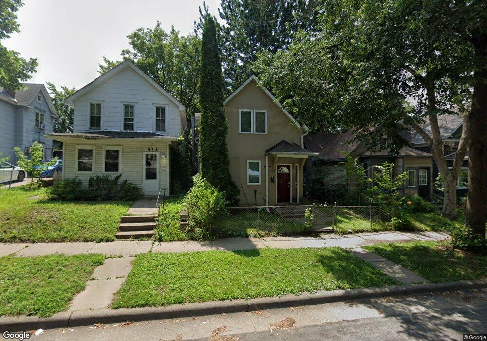
970 Euclid St Saint Paul, MN 55106
Dayton's Bluff NeighborhoodEstimated Value: $237,000 - $340,000
4
Beds
2
Baths
1,638
Sq Ft
$175/Sq Ft
Est. Value
About This Home
This home is located at 970 Euclid St, Saint Paul, MN 55106 and is currently estimated at $286,333, approximately $174 per square foot. 970 Euclid St is a home located in Ramsey County with nearby schools including Dayton's Bluff Achievement Plus Elementary School, Battle Creek Middle School, and Harding Senior High School.
Ownership History
Date
Name
Owned For
Owner Type
Purchase Details
Closed on
Jul 21, 2017
Sold by
Fohrenkamm Craig L and Fohrenkamm Elsie R
Bought by
Fohrenkamm Craig I and Fohrenkamm Elsie R
Current Estimated Value
Purchase Details
Closed on
Jun 22, 2016
Sold by
Plaza 1 Inc
Bought by
Two City Holdings Llc
Home Financials for this Owner
Home Financials are based on the most recent Mortgage that was taken out on this home.
Original Mortgage
$120,000
Interest Rate
3.54%
Mortgage Type
Future Advance Clause Open End Mortgage
Purchase Details
Closed on
Dec 30, 1997
Sold by
Lucente Frank Peter and Lucente Yvonne Cleo
Bought by
Law William R and Law Cynthia M
Home Financials for this Owner
Home Financials are based on the most recent Mortgage that was taken out on this home.
Original Mortgage
$28,000
Interest Rate
9%
Mortgage Type
Land Contract Argmt. Of Sale
Create a Home Valuation Report for This Property
The Home Valuation Report is an in-depth analysis detailing your home's value as well as a comparison with similar homes in the area
Home Values in the Area
Average Home Value in this Area
Purchase History
| Date | Buyer | Sale Price | Title Company |
|---|---|---|---|
| Fohrenkamm Craig I | $515 | None Available | |
| Two City Holdings Llc | $515 | Titlesmart Inc | |
| Law William R | $35,000 | -- |
Source: Public Records
Mortgage History
| Date | Status | Borrower | Loan Amount |
|---|---|---|---|
| Previous Owner | Two City Holdings Llc | $120,000 | |
| Previous Owner | Law William R | $28,000 |
Source: Public Records
Tax History Compared to Growth
Tax History
| Year | Tax Paid | Tax Assessment Tax Assessment Total Assessment is a certain percentage of the fair market value that is determined by local assessors to be the total taxable value of land and additions on the property. | Land | Improvement |
|---|---|---|---|---|
| 2025 | $5,158 | $260,500 | $20,200 | $240,300 |
| 2023 | $5,158 | $255,400 | $10,500 | $244,900 |
| 2022 | $4,498 | $239,800 | $10,500 | $229,300 |
| 2021 | $4,312 | $211,500 | $10,500 | $201,000 |
| 2020 | $4,160 | $212,600 | $10,500 | $202,100 |
| 2019 | $3,536 | $189,800 | $10,500 | $179,300 |
| 2018 | $2,706 | $144,900 | $10,500 | $134,400 |
| 2017 | $3,878 | $120,800 | $10,500 | $110,300 |
| 2016 | $2,958 | $0 | $0 | $0 |
| 2015 | $3,547 | $129,400 | $8,900 | $120,500 |
| 2014 | $2,484 | $0 | $0 | $0 |
Source: Public Records
Map
Nearby Homes
- 972 Euclid St
- 968 Euclid St
- 964 Euclid St
- 978 Euclid St
- 960 Euclid St
- 980 Euclid St
- 980 980 Euclid-Street-
- 958 Euclid St
- 967 Euclid St
- 965 Euclid St
- 973 Euclid St
- 986 986 Euclid-Street-
- 975 Euclid St
- 981 Euclid St
- 952 Euclid St
- 973 Wilson Ave
- 967 Wilson Ave
- 973 973 Wilson-Avenue-
- 959 Euclid St
- 975 Wilson Ave