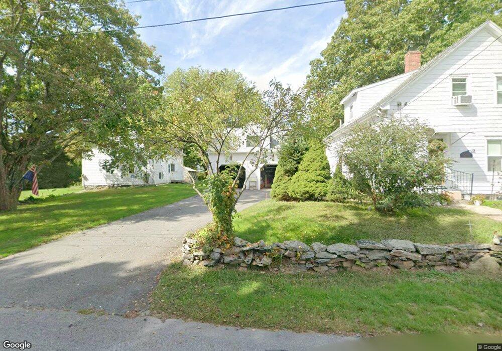
12 Willard Ave Rehoboth, MA 02769
Estimated Value: $461,931 - $516,000
3
Beds
2
Baths
1,152
Sq Ft
$421/Sq Ft
Est. Value
About This Home
This home is located at 12 Willard Ave, Rehoboth, MA 02769 and is currently estimated at $485,483, approximately $421 per square foot. 12 Willard Ave is a home located in Bristol County with nearby schools including Dighton-Rehoboth Regional High School.
Ownership History
Date
Name
Owned For
Owner Type
Purchase Details
Closed on
Apr 8, 1994
Sold by
Recore Elizabeth F
Bought by
Mailhot Maurice J L and Mailhot Nancy
Current Estimated Value
Home Financials for this Owner
Home Financials are based on the most recent Mortgage that was taken out on this home.
Original Mortgage
$130,707
Interest Rate
7.27%
Mortgage Type
Purchase Money Mortgage
Create a Home Valuation Report for This Property
The Home Valuation Report is an in-depth analysis detailing your home's value as well as a comparison with similar homes in the area
Home Values in the Area
Average Home Value in this Area
Purchase History
| Date | Buyer | Sale Price | Title Company |
|---|---|---|---|
| Mailhot Maurice J L | $126,900 | -- |
Source: Public Records
Mortgage History
| Date | Status | Borrower | Loan Amount |
|---|---|---|---|
| Open | Mailhot Maurice J L | $192,000 | |
| Closed | Mailhot Maurice J L | $29,000 | |
| Closed | Mailhot Maurice J L | $134,570 | |
| Closed | Mailhot Maurice J L | $130,707 |
Source: Public Records
Tax History Compared to Growth
Tax History
| Year | Tax Paid | Tax Assessment Tax Assessment Total Assessment is a certain percentage of the fair market value that is determined by local assessors to be the total taxable value of land and additions on the property. | Land | Improvement |
|---|---|---|---|---|
| 2025 | $41 | $366,400 | $190,200 | $176,200 |
| 2024 | $4,125 | $363,100 | $190,200 | $172,900 |
| 2023 | $4,070 | $351,500 | $186,200 | $165,300 |
| 2022 | $3,744 | $295,500 | $177,800 | $117,700 |
| 2021 | $3,653 | $275,900 | $161,500 | $114,400 |
| 2020 | $3,493 | $266,200 | $161,500 | $104,700 |
| 2018 | $3,080 | $257,300 | $153,700 | $103,600 |
| 2017 | $3,232 | $257,300 | $153,700 | $103,600 |
| 2016 | $3,126 | $257,300 | $153,700 | $103,600 |
| 2015 | $2,997 | $243,500 | $146,500 | $97,000 |
| 2014 | $2,869 | $230,600 | $139,300 | $91,300 |
Source: Public Records
Map
Nearby Homes
- 32 Providence St
- 17 Sassafras Rd
- 127 Mason St
- 36 Columbine Rd
- 198 Brook St
- 267 Chestnut St
- 203 Providence St Bldr Lot 5
- 205 Providence St Bldr Lot 3
- 1 Cedarbrook Unit A
- 10 Quaker Ln
- 3a Johnnies Way
- 129 Cameron Way
- 3b Johnnies Way
- 92 Martin St
- 3 Johnnies Way
- 7 Johnnies Way
- 75 Martin St
- 0 Winter St
- 42 Linden Ln
- 24 Nod Rd
- 20 Willard Ave
- 13 Willard Ave
- 8 Willard Ave
- 9 Willard Ave
- 17 Willard Ave
- 24 Willard Ave
- 21 Willard Ave
- 7 Willard Ave
- 2 Willard Ave
- 89 Providence St
- 67 Providence St
- 76 Providence St
- 25 Willard Ave
- 93 Providence St
- 88 Providence St
- 72 Providence St
- 82 Providence St
- 97 Providence St
- 101 Providence St
- 61 Providence St