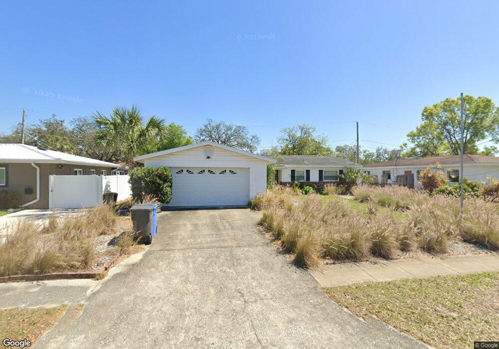
1232 Lorie Cir Brandon, FL 33510
Estimated Value: $337,000 - $356,000
3
Beds
2
Baths
1,440
Sq Ft
$239/Sq Ft
Est. Value
About This Home
This home is located at 1232 Lorie Cir, Brandon, FL 33510 and is currently estimated at $344,195, approximately $239 per square foot. 1232 Lorie Cir is a home located in Hillsborough County with nearby schools including Seffner Elementary School, Mann Middle School, and Brandon High School.
Ownership History
Date
Name
Owned For
Owner Type
Purchase Details
Closed on
Jun 27, 2008
Sold by
Zeiger Donald E
Bought by
Smith Ellison and Smith Vallera Jamie
Current Estimated Value
Home Financials for this Owner
Home Financials are based on the most recent Mortgage that was taken out on this home.
Original Mortgage
$109,620
Outstanding Balance
$70,324
Interest Rate
5.96%
Mortgage Type
FHA
Estimated Equity
$273,871
Purchase Details
Closed on
Apr 19, 2006
Sold by
Zeiger Donald E and Zeiger Vawnie W
Bought by
Zeiger Donald E and Zeiger Vawnie W
Create a Home Valuation Report for This Property
The Home Valuation Report is an in-depth analysis detailing your home's value as well as a comparison with similar homes in the area
Home Values in the Area
Average Home Value in this Area
Purchase History
| Date | Buyer | Sale Price | Title Company |
|---|---|---|---|
| Smith Ellison | $145,000 | Sunbelt Title Agency | |
| Zeiger Donald E | -- | Attorney |
Source: Public Records
Mortgage History
| Date | Status | Borrower | Loan Amount |
|---|---|---|---|
| Open | Smith Ellison | $109,620 |
Source: Public Records
Tax History Compared to Growth
Tax History
| Year | Tax Paid | Tax Assessment Tax Assessment Total Assessment is a certain percentage of the fair market value that is determined by local assessors to be the total taxable value of land and additions on the property. | Land | Improvement |
|---|---|---|---|---|
| 2024 | $1,318 | $85,690 | -- | -- |
| 2023 | $1,236 | $83,194 | $0 | $0 |
| 2022 | $1,110 | $80,771 | $0 | $0 |
| 2021 | $1,084 | $78,418 | $0 | $0 |
| 2020 | $1,008 | $77,335 | $0 | $0 |
| 2019 | $930 | $75,596 | $0 | $0 |
| 2018 | $889 | $74,186 | $0 | $0 |
| 2017 | $883 | $114,333 | $0 | $0 |
| 2016 | $876 | $71,166 | $0 | $0 |
| 2015 | $889 | $70,671 | $0 | $0 |
| 2014 | $873 | $70,110 | $0 | $0 |
| 2013 | -- | $69,074 | $0 | $0 |
Source: Public Records
Map
Nearby Homes
- 310 Terrace Dr
- 1305 Willow Valley Dr
- 147 Melanie Ln
- 925 Skyview Dr
- 107 Valley Cir
- 408 Blueberry Ln
- 1306 Cottage Place
- 3104 Apricot St
- 912 N Parsons Ave Unit A
- 228 Taylor Bay Ln
- 1109 W Camellia Dr
- 422 Mahogany Dr
- 101 Sheryl Lynn Dr
- 608 Chilt Dr
- 504 Hedge Row Rd
- 201 Lentz Rd
- 603 Beverly Dr
- 1703 N Taylor Rd
- 1052 Malletwood Dr
- 3509 King George Ln
- 1230 Lorie Cir
- 1208 Alpine Dr
- 1210 Alpine Dr
- 1236 Lorie Cir
- 1229 Lorie Cir
- 1206 Alpine Dr
- 1228 Lorie Cir
- 1231 Lorie Cir
- 1212 Alpine Dr
- 1227 Lorie Cir
- 1233 Lorie Cir
- 1204 Alpine Dr
- 1225 Lorie Cir
- 1224 Lorie Cir
- 1205 Lorie Cir
- 302 Greenview Dr Unit 2B
- 1203 Lorie Cir
- 307 E Windhorst Rd
- 301 Greenview Dr
- 1202 Alpine Dr