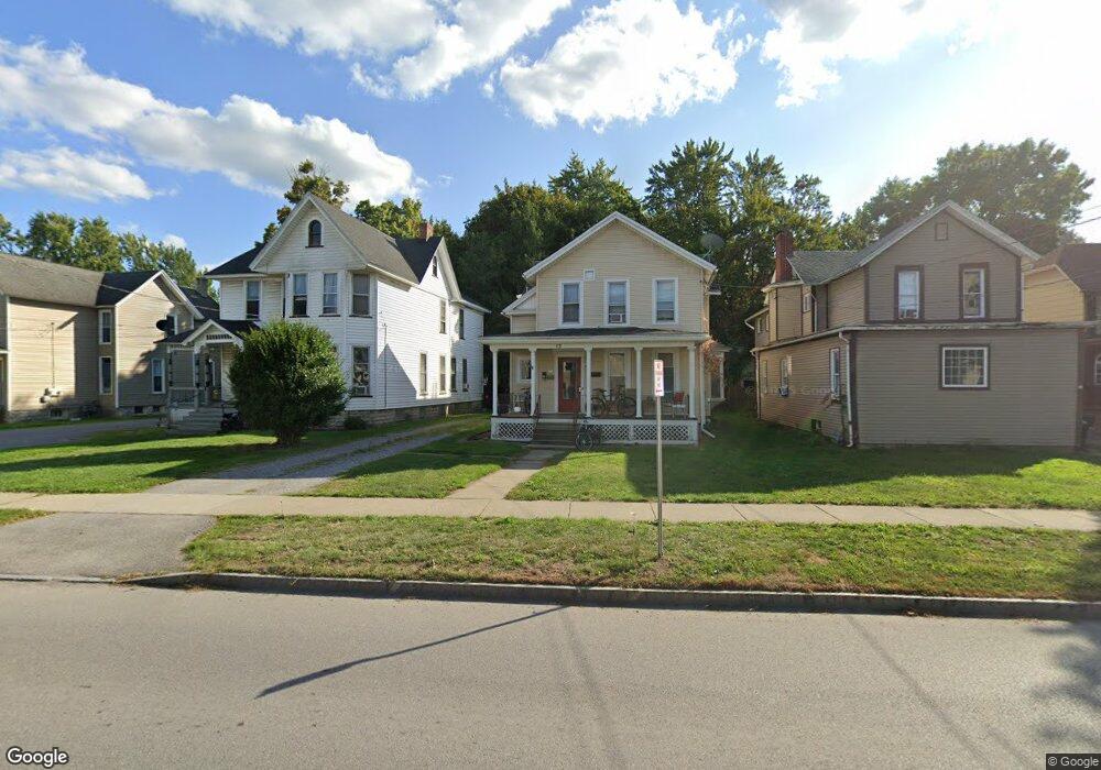
13 S Main St Batavia, NY 14020
Estimated Value: $130,000 - $153,000
2
Beds
3
Baths
700
Sq Ft
$198/Sq Ft
Est. Value
About This Home
This home is located at 13 S Main St, Batavia, NY 14020 and is currently estimated at $138,333, approximately $197 per square foot. 13 S Main St is a home located in Genesee County with nearby schools including Jackson Primary School, John Kennedy Intermediate School, and Batavia Middle School.
Ownership History
Date
Name
Owned For
Owner Type
Purchase Details
Closed on
Aug 11, 2014
Sold by
Martin Jerald E
Bought by
Benern Property Management Llc
Current Estimated Value
Purchase Details
Closed on
Feb 29, 1996
Sold by
Morgan Margaret E
Bought by
Martin Jerald E
Create a Home Valuation Report for This Property
The Home Valuation Report is an in-depth analysis detailing your home's value as well as a comparison with similar homes in the area
Home Values in the Area
Average Home Value in this Area
Purchase History
| Date | Buyer | Sale Price | Title Company |
|---|---|---|---|
| Benern Property Management Llc | $68,500 | Robert Fredrick | |
| Benern Property Management Llc | $68,500 | Robert Fredrick | |
| Martin Jerald E | $77,000 | -- | |
| Martin Jerald E | $77,000 | -- |
Source: Public Records
Property History
| Date | Event | Price | List to Sale | Price per Sq Ft |
|---|---|---|---|---|
| 10/15/2024 10/15/24 | For Rent | $950 | 0.0% | -- |
| 10/08/2024 10/08/24 | Off Market | $950 | -- | -- |
Tax History
| Year | Tax Paid | Tax Assessment Tax Assessment Total Assessment is a certain percentage of the fair market value that is determined by local assessors to be the total taxable value of land and additions on the property. | Land | Improvement |
|---|---|---|---|---|
| 2024 | $3,396 | $104,000 | $14,600 | $89,400 |
| 2023 | $1,655 | $90,000 | $14,600 | $75,400 |
| 2022 | $3,100 | $90,000 | $14,600 | $75,400 |
| 2021 | $3,058 | $80,000 | $14,600 | $65,400 |
| 2020 | $2,810 | $69,000 | $14,600 | $54,400 |
| 2019 | $2,895 | $69,000 | $14,600 | $54,400 |
| 2018 | $2,895 | $69,000 | $10,500 | $58,500 |
| 2017 | $2,919 | $69,000 | $10,500 | $58,500 |
| 2016 | $2,975 | $69,000 | $10,500 | $58,500 |
| 2015 | -- | $69,000 | $10,500 | $58,500 |
| 2014 | -- | $69,000 | $10,500 | $58,500 |
Source: Public Records
Map
Nearby Homes
- 8 S Main St
- 0 Pearl & Wortendyke Rd Unit B1605288
- 33 Pearl St
- 42 Porter Ave
- 30 Prospect Ave
- 0 Bank St Unit B1659421
- 126 State St
- 23 Adams St
- 109 Bank St
- 68 Oak St
- 36 Woodrow Rd
- 11 Hall St
- 37 Vine St
- 158 Ross St
- 48 Redfield Pkwy
- 202 S Swan St
- 120 Hutchins St
- 0 W Main Street Rd
- 2 Mckinley Ave
- 53 Otis St
Your Personal Tour Guide
Ask me questions while you tour the home.