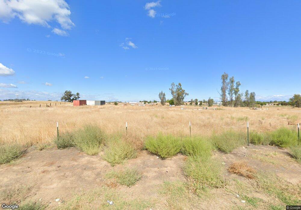
13135 Baker Rd Red Bluff, CA 96080
Estimated Value: $96,008 - $309,000
Studio
--
Bath
1,248
Sq Ft
$134/Sq Ft
Est. Value
About This Home
This home is located at 13135 Baker Rd, Red Bluff, CA 96080 and is currently estimated at $166,752, approximately $133 per square foot. 13135 Baker Rd is a home located in Tehama County with nearby schools including Bidwell Elementary School, Vista Preparatory Academy, and Red Bluff High School.
Ownership History
Date
Name
Owned For
Owner Type
Purchase Details
Closed on
Apr 9, 2025
Sold by
Byrne Matthew Thomas
Bought by
Byrne Family Trust and Byrne
Current Estimated Value
Purchase Details
Closed on
Apr 1, 2025
Sold by
Byrne Family Trust and Byrne Thomas J
Bought by
Byrne Matthew Thomas
Purchase Details
Closed on
Mar 27, 2025
Sold by
Miller Byrne Lindsay
Bought by
Byrne Matthew Thomas
Purchase Details
Closed on
Sep 8, 2020
Sold by
Nance Robert Orie and Lela Whitaker Family Trust
Bought by
Omini Pipelines Inc
Purchase Details
Closed on
Nov 16, 2012
Sold by
Whitaker Lela A
Bought by
Whitaker Lela Alice
Create a Home Valuation Report for This Property
The Home Valuation Report is an in-depth analysis detailing your home's value as well as a comparison with similar homes in the area
Purchase History
| Date | Buyer | Sale Price | Title Company |
|---|---|---|---|
| Byrne Family Trust | -- | None Listed On Document | |
| Byrne Matthew Thomas | -- | Placer Title | |
| Byrne Family Trust | -- | Placer Title | |
| Byrne Matthew Thomas | -- | Placer Title Company | |
| Omini Pipelines Inc | $80,000 | Fidelity National Title | |
| Whitaker Lela Alice | -- | None Available |
Source: Public Records
Tax History
| Year | Tax Paid | Tax Assessment Tax Assessment Total Assessment is a certain percentage of the fair market value that is determined by local assessors to be the total taxable value of land and additions on the property. | Land | Improvement |
|---|---|---|---|---|
| 2025 | $6,453 | $86,593 | $75,769 | $10,824 |
| 2023 | $6,112 | $589,712 | $72,828 | $516,884 |
| 2022 | $6,144 | $585,130 | $71,400 | $513,730 |
| 2021 | $822 | $80,000 | $70,000 | $10,000 |
| 2020 | $347 | $32,758 | $32,758 | $0 |
| 2019 | $349 | $32,116 | $32,116 | $0 |
| 2018 | $329 | $48,973 | $31,487 | $17,486 |
| 2017 | $513 | $48,014 | $30,870 | $17,144 |
| 2016 | $479 | $47,073 | $30,265 | $16,808 |
| 2015 | $472 | $46,367 | $29,811 | $16,556 |
| 2014 | $465 | $45,460 | $29,228 | $16,232 |
Source: Public Records
Map
Nearby Homes
- 1707 Luning St
- 1710 Luning St
- 1836 Walbridge St
- 1800 Walbridge St
- 1715 Walbridge St
- 2180 Gentry Way
- 2157 Reta Way
- 2132 Reta Way
- 2010 Pebblestone Dr
- 1359 2nd St
- 1435 Garryana Dr
- 329 Michael Dr
- 1810 Kemper Ave
- 2050 Stonybrook Dr
- 2059 Stonybrook Dr
- 0 Ludlow Ave Unit SN25045951
- 1660 El Cerrito Ct
- 1313 Jackson St
- 855 Johnson St
- 927 Cedar St