1325 Torrence Cir Unit 16 Davidson, NC 28036
Estimated Value: $458,000 - $548,000
2
Beds
2
Baths
1,174
Sq Ft
$421/Sq Ft
Est. Value
About This Home
This home is located at 1325 Torrence Cir Unit 16, Davidson, NC 28036 and is currently estimated at $493,911, approximately $420 per square foot. 1325 Torrence Cir Unit 16 is a home located in Mecklenburg County with nearby schools including Davidson Elementary School, William Amos Hough High School, and Davidson Day School.
Ownership History
Date
Name
Owned For
Owner Type
Purchase Details
Closed on
Sep 11, 2003
Sold by
Arnette Andy C and Arnette Cheryl
Bought by
Anthony Michael and Anthony Bonnie L
Current Estimated Value
Home Financials for this Owner
Home Financials are based on the most recent Mortgage that was taken out on this home.
Original Mortgage
$116,800
Outstanding Balance
$51,412
Interest Rate
5.5%
Mortgage Type
Purchase Money Mortgage
Estimated Equity
$442,499
Create a Home Valuation Report for This Property
The Home Valuation Report is an in-depth analysis detailing your home's value as well as a comparison with similar homes in the area
Home Values in the Area
Average Home Value in this Area
Purchase History
| Date | Buyer | Sale Price | Title Company |
|---|---|---|---|
| Anthony Michael | $146,000 | -- |
Source: Public Records
Mortgage History
| Date | Status | Borrower | Loan Amount |
|---|---|---|---|
| Open | Anthony Michael | $116,800 | |
| Closed | Anthony Michael | $14,600 |
Source: Public Records
Tax History
| Year | Tax Paid | Tax Assessment Tax Assessment Total Assessment is a certain percentage of the fair market value that is determined by local assessors to be the total taxable value of land and additions on the property. | Land | Improvement |
|---|---|---|---|---|
| 2025 | $2,619 | $342,968 | -- | $342,968 |
| 2024 | $2,619 | $342,968 | -- | $342,968 |
| 2023 | $2,579 | $342,968 | $0 | $342,968 |
| 2022 | $2,487 | $259,800 | $0 | $259,800 |
| 2021 | $2,456 | $259,800 | $0 | $259,800 |
| 2020 | $2,396 | $259,800 | $0 | $259,800 |
| 2019 | $2,408 | $259,800 | $0 | $259,800 |
| 2018 | $2,408 | $197,800 | $70,000 | $127,800 |
| 2017 | $2,390 | $197,800 | $70,000 | $127,800 |
| 2016 | $2,386 | $197,800 | $70,000 | $127,800 |
| 2015 | -- | $197,800 | $70,000 | $127,800 |
| 2014 | $2,381 | $203,600 | $100,000 | $103,600 |
Source: Public Records
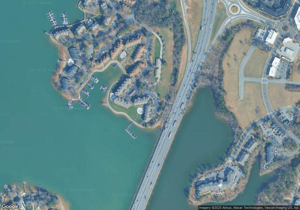
Map
Nearby Homes
- 1331 Torrence Cir Unit 1331
- 1125 Torrence Cir Unit 67
- 1113 Torrence Cir Unit 61
- 765 Southwest Dr Unit 15
- 854 Southwest Dr Unit 54
- 754 Southwest Dr Unit 5
- 753 Southwest Dr Unit 4
- 633 Portside Dr
- 208 Ambleside Village Ln
- 345 Northwest Dr Unit 45
- 306 Northwest Dr
- 367 Northwest Dr Unit 67
- 520 Catawba Ave
- 245 Davidson Gateway Dr
- 241 Davidson Gateway Dr
- 233 Davidson Gateway Dr
- 229 Davidson Gateway Dr
- 706 Northeast Dr
- 441 Delburg Mill Aly
- 714 Northeast Dr Unit 44
- 1328 Torrence Cir
- 1328 Torrence Cir Unit 1st floor
- 1332 Torrence Cir Unit 1332
- 1338 Torrence Cir Unit 29
- 1303 Torrence Cir Unit 4
- 1300 Torrence Cir
- 1341 Torrence Cir Unit 32
- 1333 Torrence Cir Unit 24
- 1332 Torrence Cir
- 1329 Torrence Cir
- 1332 Torrence Cir Unit 23
- 1329 Torrence Cir Unit 1329
- 1329 Torrence Cir Unit Lot 20 U/F 417
- 1326 Torrence Cir Unit 17
- 1314 Torrence Cir Unit 15
- 1308 Torrence Cir Unit 9
- 1331 Torrence Cir Unit 22 u
- 1331 Torrence Cir
- 1327 Torrence Cir Unit 18
- 1311 Torrence Cir Unit 12
Your Personal Tour Guide
Ask me questions while you tour the home.