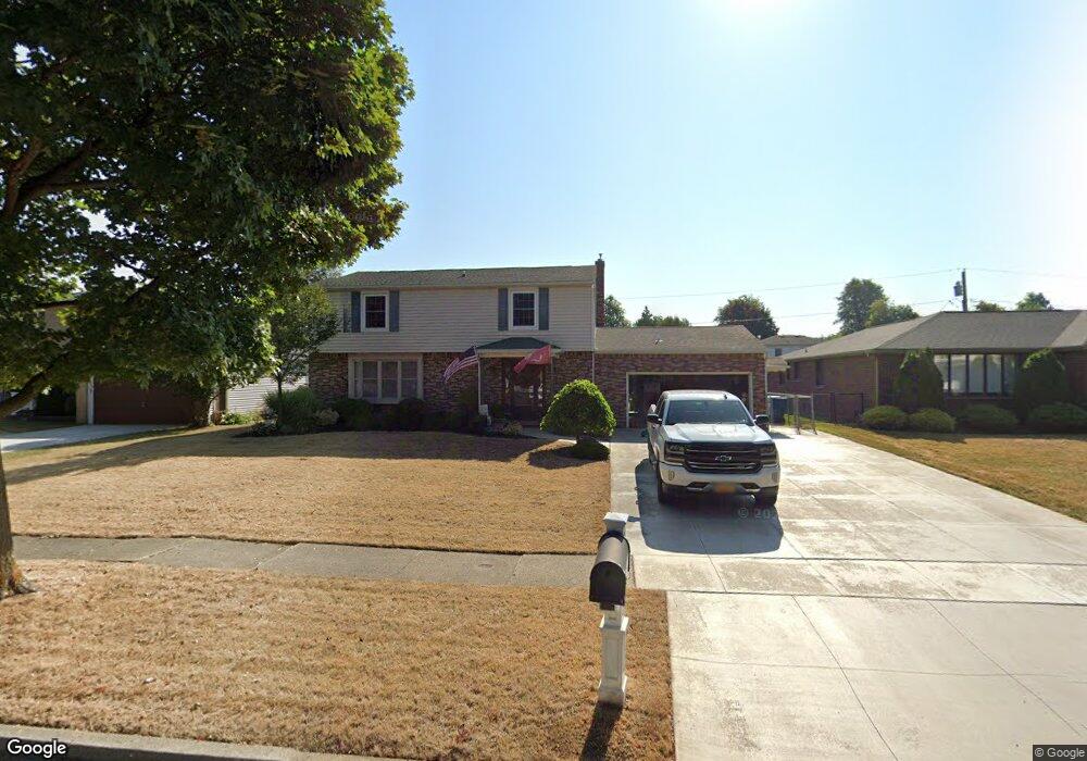
134 Telfair Dr Buffalo, NY 14221
South Amherst NeighborhoodEstimated Value: $443,000 - $527,000
4
Beds
3
Baths
2,013
Sq Ft
$239/Sq Ft
Est. Value
About This Home
This home is located at 134 Telfair Dr, Buffalo, NY 14221 and is currently estimated at $480,381, approximately $238 per square foot. 134 Telfair Dr is a home located in Erie County with nearby schools including Maple West Elementary School, Mill Middle School, and Williamsville South High School.
Ownership History
Date
Name
Owned For
Owner Type
Purchase Details
Closed on
Jul 27, 2006
Sold by
Thill Jean Claude and Mortimore Thill Gretchen
Bought by
Krause David A and Krause Kathleen A
Current Estimated Value
Home Financials for this Owner
Home Financials are based on the most recent Mortgage that was taken out on this home.
Original Mortgage
$130,000
Outstanding Balance
$10,453
Interest Rate
6.67%
Mortgage Type
Purchase Money Mortgage
Estimated Equity
$469,928
Purchase Details
Closed on
Jul 18, 1996
Sold by
Gaido John M
Bought by
Thill Jean-Claude and Thill Gretchen Mortimore
Create a Home Valuation Report for This Property
The Home Valuation Report is an in-depth analysis detailing your home's value as well as a comparison with similar homes in the area
Home Values in the Area
Average Home Value in this Area
Purchase History
| Date | Buyer | Sale Price | Title Company |
|---|---|---|---|
| Krause David A | $192,500 | None Available | |
| Thill Jean-Claude | $139,000 | -- |
Source: Public Records
Mortgage History
| Date | Status | Borrower | Loan Amount |
|---|---|---|---|
| Open | Krause David A | $130,000 |
Source: Public Records
Tax History Compared to Growth
Tax History
| Year | Tax Paid | Tax Assessment Tax Assessment Total Assessment is a certain percentage of the fair market value that is determined by local assessors to be the total taxable value of land and additions on the property. | Land | Improvement |
|---|---|---|---|---|
| 2024 | $7,936 | $380,000 | $56,000 | $324,000 |
| 2023 | $7,759 | $230,000 | $38,000 | $192,000 |
| 2022 | $7,329 | $230,000 | $38,000 | $192,000 |
| 2021 | $7,187 | $230,000 | $38,000 | $192,000 |
| 2020 | $6,513 | $230,000 | $38,000 | $192,000 |
| 2019 | $6,344 | $230,000 | $38,000 | $192,000 |
| 2018 | $6,223 | $230,000 | $38,000 | $192,000 |
| 2017 | $2,736 | $230,000 | $38,000 | $192,000 |
| 2016 | $6,337 | $210,000 | $24,800 | $185,200 |
| 2015 | -- | $210,000 | $24,800 | $185,200 |
| 2014 | -- | $210,000 | $24,800 | $185,200 |
Source: Public Records
Map
Nearby Homes
- 265 Culpepper Rd
- 248 Macarthur Dr
- 148 Patton Place
- 263 Mcnair Rd
- 40 Waterford Park
- 343 Dan Troy Dr
- 214 Presidio Place
- 80 Chaumont Dr
- 69 Culpepper Rd
- 15 Woodpointe Run
- 48 Presidio Place
- 00 Wehrle Dr S
- 4 Macarthur Dr
- 29 Gesel Ln
- 30 Batavia Dr
- 39 Wickendon Ct
- 27 Dogwood Rd
- 55 Oakbrook Dr Unit H
- 1340 Maple Rd Unit 5
- 70 Hickory Hill Rd