138 King Tree Ln Springfield, OH 45506
Cedar Hills/Broadview NeighborhoodEstimated Value: $267,733 - $332,000
3
Beds
2
Baths
1,574
Sq Ft
$189/Sq Ft
Est. Value
About This Home
This home is located at 138 King Tree Ln, Springfield, OH 45506 and is currently estimated at $297,183, approximately $188 per square foot. 138 King Tree Ln is a home located in Clark County with nearby schools including Possum Elementary School, Shawnee Middle School/High School, and Springfield Christian School.
Ownership History
Date
Name
Owned For
Owner Type
Purchase Details
Closed on
Oct 24, 2013
Sold by
Roeth Brian and Estate Of Louise L Frantz
Bought by
Bishop Justin Randall and Bishop Rachel Elizabeth
Current Estimated Value
Home Financials for this Owner
Home Financials are based on the most recent Mortgage that was taken out on this home.
Original Mortgage
$111,625
Outstanding Balance
$83,418
Interest Rate
4.59%
Mortgage Type
New Conventional
Estimated Equity
$213,765
Purchase Details
Closed on
Jul 31, 2000
Sold by
Frantz William B and Frantz Louise L
Bought by
Frantz William B and Frantz Louise L
Purchase Details
Closed on
Dec 1, 1984
Sold by
Depew Levi and Depew Edith
Bought by
Frantz William B and Frantz Louise L
Create a Home Valuation Report for This Property
The Home Valuation Report is an in-depth analysis detailing your home's value as well as a comparison with similar homes in the area
Home Values in the Area
Average Home Value in this Area
Purchase History
| Date | Buyer | Sale Price | Title Company |
|---|---|---|---|
| Bishop Justin Randall | $117,500 | Pacific Title Agency | |
| Frantz William B | -- | -- | |
| Frantz William B | $62,000 | -- |
Source: Public Records
Mortgage History
| Date | Status | Borrower | Loan Amount |
|---|---|---|---|
| Open | Bishop Justin Randall | $111,625 |
Source: Public Records
Tax History
| Year | Tax Paid | Tax Assessment Tax Assessment Total Assessment is a certain percentage of the fair market value that is determined by local assessors to be the total taxable value of land and additions on the property. | Land | Improvement |
|---|---|---|---|---|
| 2025 | $3,463 | $90,200 | $17,350 | $72,850 |
| 2024 | $3,373 | $69,050 | $12,560 | $56,490 |
| 2023 | $3,373 | $69,050 | $12,560 | $56,490 |
| 2022 | $3,345 | $69,050 | $12,560 | $56,490 |
| 2021 | $2,896 | $53,520 | $9,730 | $43,790 |
| 2020 | $2,920 | $53,520 | $9,730 | $43,790 |
| 2019 | $2,966 | $53,520 | $9,730 | $43,790 |
| 2018 | $2,650 | $47,170 | $8,870 | $38,300 |
| 2017 | $2,716 | $47,170 | $8,869 | $38,301 |
| 2016 | $2,450 | $47,170 | $8,869 | $38,301 |
| 2015 | $2,455 | $45,693 | $8,869 | $36,824 |
| 2014 | $2,462 | $45,693 | $8,869 | $36,824 |
| 2013 | $1,730 | $45,693 | $8,869 | $36,824 |
Source: Public Records
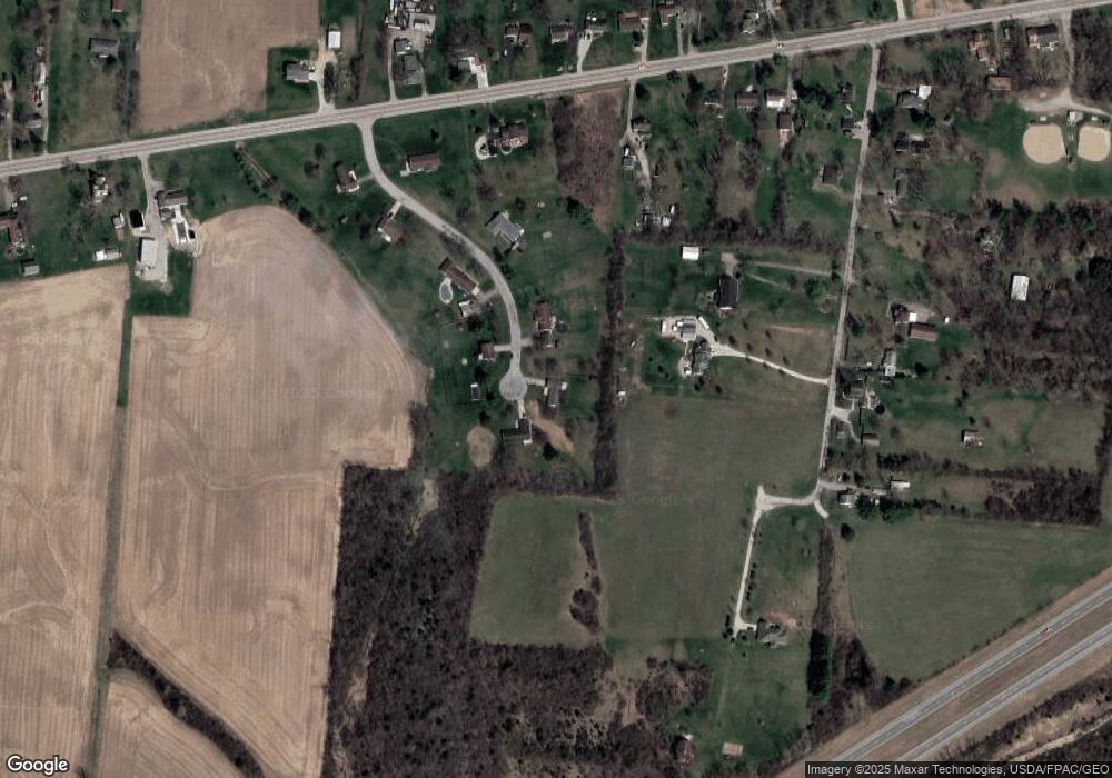
Map
Nearby Homes
- 4461 New Carlisle Pike
- 124 Old Mill Rd
- 3267 Lower Valley Pike Unit Tract 2
- 4909 Shannon Ave
- 3319 Wendover St
- 3183 Lower Valley Pike
- 128 Ravenwood Dr
- 780 W Eva Cir
- 624 Aberfelda Dr
- 206 S Tecumseh Rd
- 190 Oakridge Dr
- 1290 Red Oaks Cir
- 1513 Ridgeway Dr
- 0 Upper Valley Pike
- 2805 Cottonwood Dr
- 929 N Tecumseh Rd
- 2743 Ironwood Dr
- 917 White Oak Dr
- 925 Upper Valley Pike
- 2705 Ash Dr
- 150 King Tree Ln
- 122 King Tree Ln
- 133 King Tree Ln
- 107 Rockway Ave
- 95 King Tree Ln
- 88 King Tree Ln
- 95 Rockway Ave
- 63 King Tree Ln
- 4179 W National Rd
- 50 King Tree Ln
- 116 Rockway Ave
- 4125 W National Rd
- 124 Rockway Ave
- 110 Rockway Ave
- 25 King Tree Ln
- 4083 W National Rd
- 13 Rockway Ave
- 4196 W National Rd
- 4067 W National Rd
- 102 Rockway Ave
Your Personal Tour Guide
Ask me questions while you tour the home.