148 Stone Ridge Rd Franklin, MA 02038
Estimated Value: $416,000 - $451,857
2
Beds
3
Baths
1,092
Sq Ft
$394/Sq Ft
Est. Value
About This Home
This home is located at 148 Stone Ridge Rd, Franklin, MA 02038 and is currently estimated at $429,714, approximately $393 per square foot. 148 Stone Ridge Rd is a home located in Norfolk County with nearby schools including Oak Street Elementary School, Horace Mann Middle School, and Franklin High School.
Ownership History
Date
Name
Owned For
Owner Type
Purchase Details
Closed on
Mar 12, 2024
Sold by
Nurnberg Steven R and Nurnberg Suzanne J
Bought by
Nurnberg Lt and Nurnberg
Current Estimated Value
Purchase Details
Closed on
Oct 14, 1988
Sold by
Alperin Tr Thomas M
Bought by
Short Margaret A
Home Financials for this Owner
Home Financials are based on the most recent Mortgage that was taken out on this home.
Original Mortgage
$35,000
Interest Rate
10.63%
Mortgage Type
Purchase Money Mortgage
Create a Home Valuation Report for This Property
The Home Valuation Report is an in-depth analysis detailing your home's value as well as a comparison with similar homes in the area
Purchase History
| Date | Buyer | Sale Price | Title Company |
|---|---|---|---|
| Nurnberg Lt | -- | None Available | |
| Short Margaret A | $149,900 | -- |
Source: Public Records
Mortgage History
| Date | Status | Borrower | Loan Amount |
|---|---|---|---|
| Previous Owner | Short Margaret A | $98,000 | |
| Previous Owner | Short Margaret A | $44,200 | |
| Previous Owner | Short Margaret A | $35,000 |
Source: Public Records
Tax History
| Year | Tax Paid | Tax Assessment Tax Assessment Total Assessment is a certain percentage of the fair market value that is determined by local assessors to be the total taxable value of land and additions on the property. | Land | Improvement |
|---|---|---|---|---|
| 2025 | $4,588 | $394,800 | $0 | $394,800 |
| 2024 | $4,167 | $353,400 | $0 | $353,400 |
| 2023 | $3,968 | $315,400 | $0 | $315,400 |
| 2022 | $3,838 | $273,200 | $0 | $273,200 |
| 2021 | $3,661 | $249,900 | $0 | $249,900 |
| 2020 | $3,559 | $245,300 | $0 | $245,300 |
| 2019 | $3,523 | $240,300 | $0 | $240,300 |
| 2018 | $3,397 | $231,900 | $0 | $231,900 |
| 2017 | $3,152 | $216,200 | $0 | $216,200 |
| 2016 | $3,142 | $216,700 | $0 | $216,700 |
| 2015 | $3,204 | $215,900 | $0 | $215,900 |
| 2014 | $2,852 | $197,400 | $0 | $197,400 |
Source: Public Records
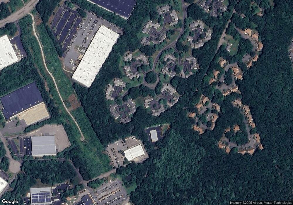
Map
Nearby Homes
- 5 Stone Ridge Rd
- 834-836 W Central St
- 25 Brookview Rd
- 602 Franklin Crossing Rd Unit 602
- 8 Riverstone Way
- 214 Conlyn Ave
- 1801 Franklin Crossing Rd Unit 1801
- 134 Highwood Dr
- 201 Crossfield Rd
- 1501 Old Bridge Ln Unit 1501
- 1303 Old Bridge Ln Unit 1303
- 3003 Maple Brook Rd Unit 3003
- 276 Pond St
- 3 Washington St
- 1 Washington St
- 374-378 Union St
- 120 Union St Unit 1
- 70 Oak St
- 18 Bubbling Brook Rd
- 88 Crescent St
- 149 Stone Ridge Rd
- 150 Stone Ridge Rd
- 149 Stone Ridge Rd Unit 149
- 144 Stone Ridge Rd
- 145 Stone Ridge Rd
- 146 Stone Ridge Rd
- 147 Stone Ridge Rd
- 152 Stone Ridge Rd
- 153 Stone Ridge Rd
- 154 Stone Ridge Rd
- 155 Stone Ridge Rd
- 153 Stone Ridge Rd Unit 153,153
- 155 Stone Ridge Rd Unit 155
- 140 Stone Ridge Rd
- 141 Stone Ridge Rd
- 142 Stone Ridge Rd
- 160 Stone Ridge Rd
- 161 Stone Ridge Rd
- 162 Stone Ridge Rd
- 163 Stone Ridge Rd
Your Personal Tour Guide
Ask me questions while you tour the home.