158 Danforth Ave S Red Wing, MN 55066
Estimated Value: $293,000 - $347,969
4
Beds
3
Baths
2,036
Sq Ft
$161/Sq Ft
Est. Value
About This Home
This home is located at 158 Danforth Ave S, Red Wing, MN 55066 and is currently estimated at $328,242, approximately $161 per square foot. 158 Danforth Ave S is a home located in Goodhue County with nearby schools including Burnside Elementary School, Sunnyside Elementary School, and Twin Bluff Middle School.
Ownership History
Date
Name
Owned For
Owner Type
Purchase Details
Closed on
Apr 27, 2007
Sold by
Feidt Randy J and Feidt Suzanne A
Bought by
Mcguire Kevin R
Current Estimated Value
Purchase Details
Closed on
Mar 16, 2005
Sold by
Red Wing Ii Partnership Llc
Bought by
Feidt Randy J and Feidt Suzanne
Purchase Details
Closed on
Jun 20, 2002
Sold by
Wal-Mart Stores Inc
Bought by
Swanson Johnson
Purchase Details
Closed on
Mar 21, 2002
Sold by
Severson Kevin S
Bought by
Wal-Mart Stores Inc
Create a Home Valuation Report for This Property
The Home Valuation Report is an in-depth analysis detailing your home's value as well as a comparison with similar homes in the area
Home Values in the Area
Average Home Value in this Area
Purchase History
| Date | Buyer | Sale Price | Title Company |
|---|---|---|---|
| Mcguire Kevin R | -- | -- | |
| Feidt Randy J | $189,500 | -- | |
| Swanson Johnson | $165,000 | -- | |
| Wal-Mart Stores Inc | $600,000 | -- |
Source: Public Records
Tax History Compared to Growth
Tax History
| Year | Tax Paid | Tax Assessment Tax Assessment Total Assessment is a certain percentage of the fair market value that is determined by local assessors to be the total taxable value of land and additions on the property. | Land | Improvement |
|---|---|---|---|---|
| 2025 | $4,006 | $315,100 | $56,600 | $258,500 |
| 2024 | $4,006 | $311,800 | $56,600 | $255,200 |
| 2023 | $1,985 | $293,100 | $56,500 | $236,600 |
| 2022 | $3,474 | $286,700 | $51,800 | $234,900 |
| 2021 | $3,058 | $245,100 | $51,800 | $193,300 |
| 2020 | $3,020 | $221,500 | $44,300 | $177,200 |
| 2019 | $3,006 | $206,100 | $44,300 | $161,800 |
| 2018 | $2,394 | $207,400 | $40,600 | $166,800 |
| 2017 | $2,318 | $180,800 | $40,600 | $140,200 |
| 2016 | $2,138 | $177,700 | $40,600 | $137,100 |
| 2015 | $2,014 | $172,800 | $40,600 | $132,200 |
| 2014 | -- | $163,500 | $40,600 | $122,900 |
Source: Public Records
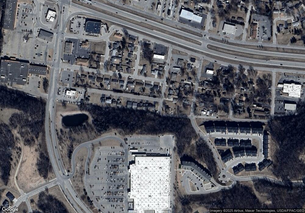
Map
Nearby Homes
- 113 Burnside Ave S
- 137 Burnside Ave N
- 922 Briarwood Dr
- 3560 Graves Dr
- 3557 Skyline Dr
- 2762 Ridgeview Dr
- 2773 Ridgeview Dr
- 1125 Hewitt Blvd
- 1181 Hewitt Blvd
- 453 Spring Creek Rd S
- 168 Johnson Ave
- 1815 Grandview Ave
- 237 Motel Ave
- 1738 W 6th St
- 717 Blaine St
- 1715 W 5th St
- 504 Buchanan St Unit 506
- 1528 W 6th St
- 1578 Alvina St
- 2118 Pioneer Rd Unit 163
- 3051 Danforth Path
- 3063 Danforth Path
- 157 Danforth Ave S
- 3075 Danforth Path
- 3037 Lawrence St
- 145 Danforth Ave N
- 3045 Lawrence St
- 145 Danforth Ave S
- 3087 Danforth Path
- 3053 Lawrence St
- 139 Danforth Ave S
- 3095 Danforth Path
- 133 Danforth Ave S
- 3103 Lawrence St
- 142 Red Wing Ave S
- 3107 Danforth Path
- 142 Red Wing Ave N
- 136 Red Wing Ave S
- 3040 Lawrence St
- 128 Danforth Ave S