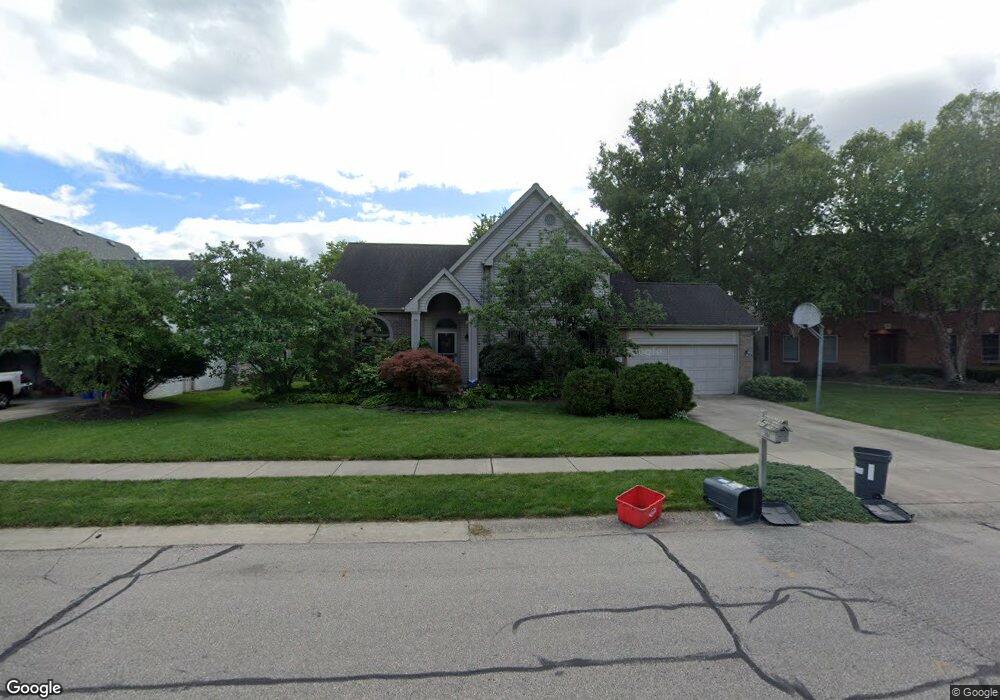
187 Muladore Dr Powell, OH 43065
Liberty Township NeighborhoodEstimated Value: $562,001 - $597,000
4
Beds
3
Baths
2,531
Sq Ft
$229/Sq Ft
Est. Value
About This Home
This home is located at 187 Muladore Dr, Powell, OH 43065 and is currently estimated at $578,500, approximately $228 per square foot. 187 Muladore Dr is a home located in Delaware County with nearby schools including Wyandot Run Elementary School, Olentangy Liberty Middle School, and Olentangy High School.
Ownership History
Date
Name
Owned For
Owner Type
Purchase Details
Closed on
Aug 5, 2008
Sold by
Carducci Daniel G and Carducci Roberta L
Bought by
Vargo Gregory J and Burton Lisa R
Current Estimated Value
Home Financials for this Owner
Home Financials are based on the most recent Mortgage that was taken out on this home.
Original Mortgage
$237,600
Outstanding Balance
$158,448
Interest Rate
6.66%
Mortgage Type
Purchase Money Mortgage
Estimated Equity
$420,052
Create a Home Valuation Report for This Property
The Home Valuation Report is an in-depth analysis detailing your home's value as well as a comparison with similar homes in the area
Home Values in the Area
Average Home Value in this Area
Purchase History
| Date | Buyer | Sale Price | Title Company |
|---|---|---|---|
| Vargo Gregory J | $297,000 | Stewart Title Oh |
Source: Public Records
Mortgage History
| Date | Status | Borrower | Loan Amount |
|---|---|---|---|
| Open | Vargo Gregory J | $237,600 |
Source: Public Records
Tax History Compared to Growth
Tax History
| Year | Tax Paid | Tax Assessment Tax Assessment Total Assessment is a certain percentage of the fair market value that is determined by local assessors to be the total taxable value of land and additions on the property. | Land | Improvement |
|---|---|---|---|---|
| 2024 | $7,450 | $142,180 | $34,830 | $107,350 |
| 2023 | $7,479 | $142,180 | $34,830 | $107,350 |
| 2022 | $8,113 | $122,290 | $26,180 | $96,110 |
| 2021 | $8,253 | $122,290 | $26,180 | $96,110 |
| 2020 | $8,282 | $122,290 | $26,180 | $96,110 |
| 2019 | $6,943 | $106,330 | $22,750 | $83,580 |
| 2018 | $7,023 | $106,330 | $22,750 | $83,580 |
| 2017 | $6,726 | $98,910 | $18,690 | $80,220 |
| 2016 | $7,010 | $98,910 | $18,690 | $80,220 |
| 2015 | $6,379 | $98,910 | $18,690 | $80,220 |
| 2014 | $6,464 | $98,910 | $18,690 | $80,220 |
| 2013 | $6,361 | $95,100 | $18,690 | $76,410 |
Source: Public Records
Map
Nearby Homes
- 92 Barrington Place
- 326 Olenview Cir W
- 220 Woodedge Cir E
- 309 Whetstone Dr E
- 401 Village Ridge Ct
- 22 Brookehill Dr
- 6615 Scioto St
- 6555 Scioto St
- 6583 Scioto St
- 6601 Scioto St
- 110 Encore Park Bend
- 3031 Sinatra Way
- Oakley Plan at Encore Park of Powell - Uptown Collection
- Irving Plan at Encore Park of Powell - Uptown Collection
- 7356 Celebration Dr
- 114 Encore Park Bend
- 2105 Liberty St
- 2020 Liberty St
- 1937 Liberty St
- 599 Foxdale Place Unit 599
- 183 Muladore Dr
- 179 Muladore Dr
- 180 Barrington Place
- 196 Muladore Dr
- 199 Paddock Cir W
- 201 Muladore Dr
- 175 Muladore Dr
- 211 Muladore Dr
- 154 Chedworth Row
- 155 Chedworth Row
- 218 Muladore Dr
- 205 Paddock Cir W
- 198 Paddock Cir W
- 217 Muladore Dr
- 171 Muladore Dr
- 161 Beech Ridge Dr
- 135 Barrington Place
- 228 Muladore Dr
- 215 Paddock Cir W
- 201 Paddock Cir E