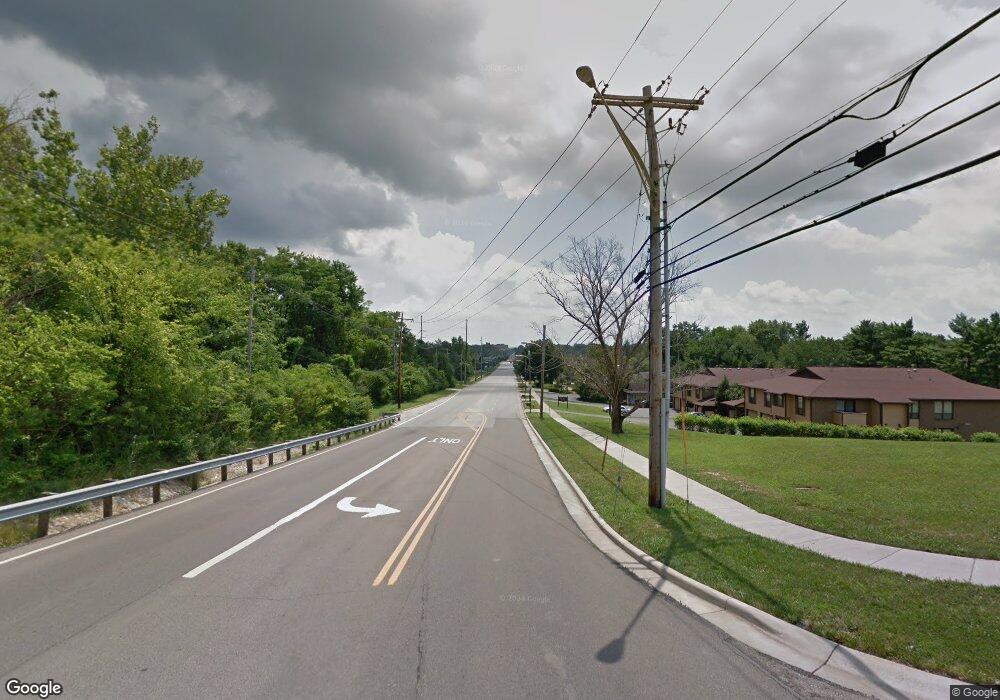
1895 Eaton Ave Hamilton, OH 45013
Saint Clair Township NeighborhoodEstimated Value: $410,000 - $795,399
4
Beds
2
Baths
2,168
Sq Ft
$305/Sq Ft
Est. Value
About This Home
This home is located at 1895 Eaton Ave, Hamilton, OH 45013 and is currently estimated at $661,600, approximately $305 per square foot. 1895 Eaton Ave is a home located in Butler County with nearby schools including Brookwood Elementary School, Wilson Middle School, and Hamilton High School Main Campus.
Ownership History
Date
Name
Owned For
Owner Type
Purchase Details
Closed on
Oct 25, 2019
Sold by
Todd Dev Co Inc
Bought by
Todd Development Company
Current Estimated Value
Purchase Details
Closed on
Oct 16, 2019
Sold by
Todd Development Company Inc
Bought by
Todd Homes Llc
Purchase Details
Closed on
Jul 25, 2003
Sold by
Zink Thomas W and Zink Sarah J
Bought by
Todd Development Co Inc
Home Financials for this Owner
Home Financials are based on the most recent Mortgage that was taken out on this home.
Original Mortgage
$1,550,000
Interest Rate
5.31%
Mortgage Type
Commercial
Create a Home Valuation Report for This Property
The Home Valuation Report is an in-depth analysis detailing your home's value as well as a comparison with similar homes in the area
Home Values in the Area
Average Home Value in this Area
Purchase History
| Date | Buyer | Sale Price | Title Company |
|---|---|---|---|
| Todd Development Company | -- | -- | |
| Todd Homes Llc | -- | None Available | |
| Todd Development Co Inc | $375,000 | -- |
Source: Public Records
Mortgage History
| Date | Status | Borrower | Loan Amount |
|---|---|---|---|
| Previous Owner | Todd Development Co Inc | $1,550,000 |
Source: Public Records
Tax History Compared to Growth
Tax History
| Year | Tax Paid | Tax Assessment Tax Assessment Total Assessment is a certain percentage of the fair market value that is determined by local assessors to be the total taxable value of land and additions on the property. | Land | Improvement |
|---|---|---|---|---|
| 2024 | $1,669 | $38,520 | $38,520 | -- |
| 2023 | $1,661 | $38,520 | $38,520 | -- |
| 2022 | $1,846 | $38,520 | $38,520 | $0 |
| 2021 | $1,791 | $38,520 | $38,520 | $0 |
| 2020 | $1,865 | $38,520 | $38,520 | $0 |
| 2019 | $2,306 | $31,500 | $31,500 | $0 |
| 2018 | $1,512 | $31,500 | $31,500 | $0 |
| 2017 | $1,519 | $31,500 | $31,500 | $0 |
| 2016 | $1,594 | $31,500 | $31,500 | $0 |
| 2015 | $1,585 | $31,500 | $31,500 | $0 |
| 2014 | $9,406 | $31,500 | $31,500 | $0 |
| 2013 | $9,406 | $31,500 | $31,500 | $0 |
Source: Public Records
Map
Nearby Homes
- 1956 Redbud Dr
- 466 Hamilton View Dr
- 458 Hamilton View
- 742 Miami Way Dr
- 1230 Stephanie Dr
- 2139 Castle Pines Ct
- 1210 Stephanie Dr
- 1210 Stephanie Dr Unit 3
- 4 Peregrine Way
- 1331 Peregrine Way
- 721 Gordon Smith Blvd
- 71 Livingston Dr
- 1319 Peregrine Way
- 14 Justin Place
- 1038 Golden Oak Dr
- 5 Waterview Ct Unit 30
- 1593 Eden Park Dr
- 720 Shultz Dr
- 748 Beeler Blvd
- 75 Waterpoint Ln
- 1903 Redbud Dr
- 1915 Redbud Dr
- 1911 Redbud Dr
- 1899 Redbud Dr
- 1923 Redbud Dr
- 450 Ashley Brook Dr
- 440 Ashley Brook Dr
- 460 Ashley Brook Dr
- 1977 Redbud Dr
- 430 Ashley Brook Dr
- 1927 Redbud Dr
- 470 Ashley Brook Dr
- 1965 Redbud Dr
- 420 Ashley Brook Dr
- 1969 Redbud Dr
- 1961 Redbud Dr
- 480 Ashley Brook Dr
- 1908 Redbud Dr
- 1912 Redbud Dr
- 1916 Redbud Dr
