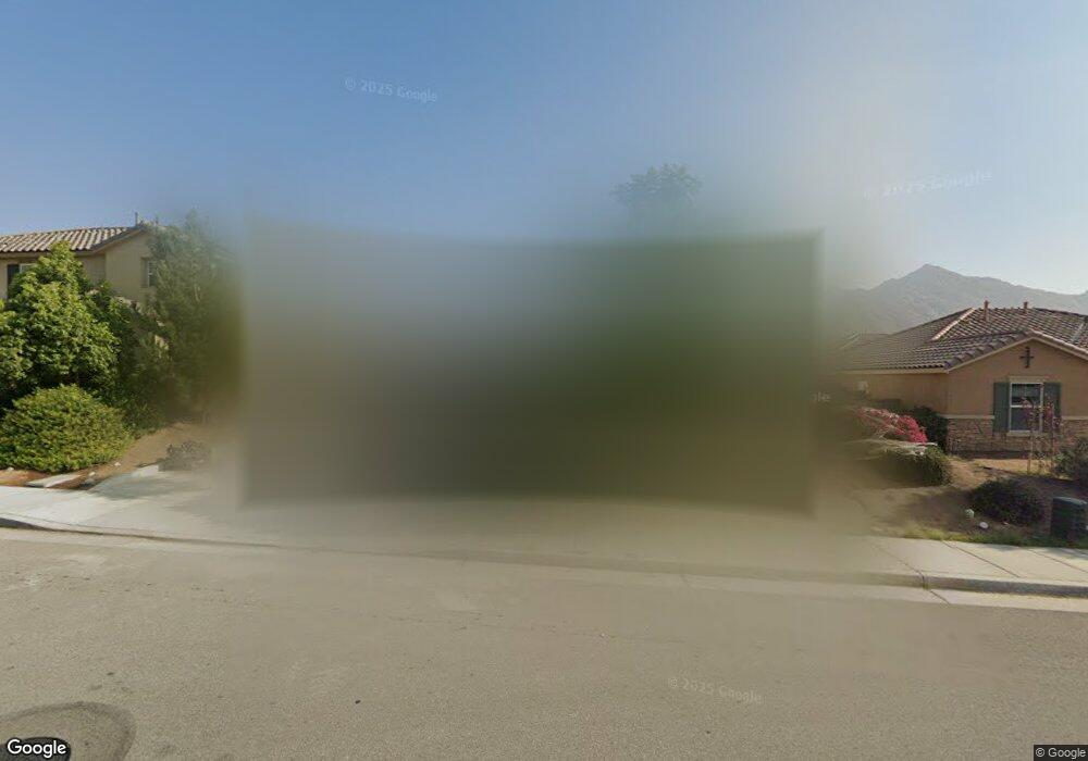
20547 Spring St Riverside, CA 92507
Highgrove NeighborhoodEstimated Value: $628,576 - $694,000
3
Beds
2
Baths
1,698
Sq Ft
$396/Sq Ft
Est. Value
About This Home
This home is located at 20547 Spring St, Riverside, CA 92507 and is currently estimated at $671,644, approximately $395 per square foot. 20547 Spring St is a home with nearby schools including Highgrove Elementary School, University Heights Middle School, and John W. North High School.
Ownership History
Date
Name
Owned For
Owner Type
Purchase Details
Closed on
Dec 23, 2021
Sold by
Garcia Family Revocable Trust
Bought by
Garcia Family Revocable Trust
Current Estimated Value
Home Financials for this Owner
Home Financials are based on the most recent Mortgage that was taken out on this home.
Original Mortgage
$324,650
Outstanding Balance
$248,883
Interest Rate
2.34%
Mortgage Type
New Conventional
Estimated Equity
$422,761
Purchase Details
Closed on
Feb 22, 2016
Sold by
Cruz Shasta Dela and Cruz Shasta Dela
Bought by
The Garcia Family Revocable Trust
Purchase Details
Closed on
Oct 1, 2015
Sold by
Smr Phase 1 Joint Venture Llc
Bought by
Kb Home Coastal Inc
Home Financials for this Owner
Home Financials are based on the most recent Mortgage that was taken out on this home.
Original Mortgage
$374,987
Interest Rate
3.73%
Mortgage Type
VA
Purchase Details
Closed on
Aug 27, 2015
Sold by
Kb Home Coastal Inc
Bought by
Cruz Shasta Dela
Home Financials for this Owner
Home Financials are based on the most recent Mortgage that was taken out on this home.
Original Mortgage
$374,987
Interest Rate
3.73%
Mortgage Type
VA
Create a Home Valuation Report for This Property
The Home Valuation Report is an in-depth analysis detailing your home's value as well as a comparison with similar homes in the area
Home Values in the Area
Average Home Value in this Area
Purchase History
| Date | Buyer | Sale Price | Title Company |
|---|---|---|---|
| Garcia Family Revocable Trust | -- | First American Title | |
| The Garcia Family Revocable Trust | -- | None Available | |
| Kb Home Coastal Inc | $3,338,500 | First American Title Company | |
| Cruz Shasta Dela | $367,500 | First American Title Company |
Source: Public Records
Mortgage History
| Date | Status | Borrower | Loan Amount |
|---|---|---|---|
| Open | Garcia Family Revocable Trust | $324,650 | |
| Previous Owner | Cruz Shasta Dela | $374,987 |
Source: Public Records
Tax History
| Year | Tax Paid | Tax Assessment Tax Assessment Total Assessment is a certain percentage of the fair market value that is determined by local assessors to be the total taxable value of land and additions on the property. | Land | Improvement |
|---|---|---|---|---|
| 2025 | $7,639 | $440,143 | $142,050 | $298,093 |
| 2023 | $7,639 | $423,054 | $136,535 | $286,519 |
| 2022 | $7,332 | $414,759 | $133,858 | $280,901 |
| 2021 | $7,299 | $406,628 | $131,234 | $275,394 |
| 2020 | $7,202 | $402,460 | $129,889 | $272,571 |
| 2019 | $7,113 | $394,570 | $127,343 | $267,227 |
| 2018 | $6,971 | $386,835 | $124,848 | $261,987 |
| 2017 | $6,959 | $379,250 | $122,400 | $256,850 |
| 2016 | $6,599 | $367,500 | $120,000 | $247,500 |
| 2015 | $2,832 | $12,500 | $12,500 | $0 |
Source: Public Records
Map
Nearby Homes
- 20583 Spring St
- 20668 Pitchfork Dr
- 7387 Silverspot Rd
- 20765 Barn Rd
- 7672 Kuvera Bend St
- 20075 Sanquinella Cir
- 20346 Symphony Dr
- 20065 Curaco Ct
- 21047 Iron Rail Dr
- 7608 Citrusmoon Ct
- 7222 Bliss St
- 7210 Bliss St
- 7221 Bliss St
- 7145 Flourish St
- 7133 Flourish St
- 20046 Red Rock Ave
- 7635 Sweet Ranch Cir
- 7633 River Gulch Rd
- 22544 Main St
- 7552 Honeybell Ct
- 20535 Spring St
- 20559 Spring St
- 20560 Pitchfork Dr
- 20572 Pitchfork Dr
- 20523 Spring St
- 20565 Spring St
- 20584 Pitchfork Dr
- 20548 Pitchfork Dr
- 7531 Silverspot Rd
- 20571 Spring St
- 20511 Spring St
- 20596 Pitchfork Dr
- 20536 Pitchfork Dr
- 20564 Spring St
- 7519 Silverspot Rd
- 20604 Pitchfork Dr
- 20499 Spring St
- 20608 Pitchfork Dr
- 20576 Spring St
- 20524 Pitchfork Dr
Your Personal Tour Guide
Ask me questions while you tour the home.