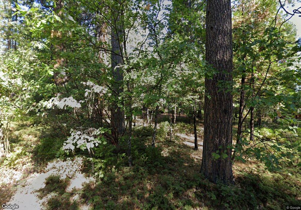
2076 Mitchell Dr Arnold, CA 95223
Estimated Value: $242,924 - $340,000
2
Beds
1
Bath
640
Sq Ft
$421/Sq Ft
Est. Value
About This Home
This home is located at 2076 Mitchell Dr, Arnold, CA 95223 and is currently estimated at $269,231, approximately $420 per square foot. 2076 Mitchell Dr is a home with nearby schools including Bret Harte Union High School.
Ownership History
Date
Name
Owned For
Owner Type
Purchase Details
Closed on
Sep 19, 2017
Sold by
Coakley Dennis James
Bought by
Coakley Dennis J
Current Estimated Value
Purchase Details
Closed on
Aug 15, 2017
Sold by
Coakley Lawrence Michael
Bought by
Coakley Lawrence M
Purchase Details
Closed on
Nov 14, 2013
Sold by
Coakley John Joseph
Bought by
Coakley John Joseph and Coakley Brenda June
Purchase Details
Closed on
Sep 8, 2005
Sold by
Coakley John Joseph
Bought by
Coakley John Joseph and Coakley Lawrence L Michael
Create a Home Valuation Report for This Property
The Home Valuation Report is an in-depth analysis detailing your home's value as well as a comparison with similar homes in the area
Home Values in the Area
Average Home Value in this Area
Purchase History
| Date | Buyer | Sale Price | Title Company |
|---|---|---|---|
| Coakley Dennis J | -- | None Available | |
| Coakley Lawrence M | -- | None Available | |
| Coakley John Joseph | -- | None Available | |
| Coakley John Joseph | -- | -- |
Source: Public Records
Tax History
| Year | Tax Paid | Tax Assessment Tax Assessment Total Assessment is a certain percentage of the fair market value that is determined by local assessors to be the total taxable value of land and additions on the property. | Land | Improvement |
|---|---|---|---|---|
| 2025 | $1,050 | $43,331 | $10,667 | $32,664 |
| 2023 | $1,024 | $41,650 | $10,253 | $31,397 |
| 2022 | $881 | $40,834 | $10,052 | $30,782 |
| 2021 | $874 | $40,034 | $9,855 | $30,179 |
| 2020 | $862 | $39,624 | $9,754 | $29,870 |
| 2019 | $851 | $38,848 | $9,563 | $29,285 |
| 2018 | $706 | $38,087 | $9,376 | $28,711 |
| 2017 | $0 | $37,342 | $9,193 | $28,149 |
| 2016 | $693 | $36,611 | $9,013 | $27,598 |
| 2015 | -- | $36,062 | $8,878 | $27,184 |
| 2014 | -- | $35,357 | $8,705 | $26,652 |
Source: Public Records
Map
Nearby Homes
- 1919 Airacobra Ave
- 1870 Thunderbolt Trail
- 2435 El Dorado Dr
- 1474 Moran Rd
- 2729 Mokelumne Dr W
- 2637 Ruth Ln
- 2673 El Dorado Dr
- 2022 Kit Carson Cir
- 2105 Camanche Dr
- 1800 Kit Carson Cir
- 2273 Flanders Dr
- 2273 Rawhide Dr
- 2387 Murphys Dr
- 2081 Jerrilynn Dr
- 2595 Chamonix Dr
- 1984 Pine Cone Dr
- 2393 Stephanie Dr
- 2567 Murphys Dr
- 1856 Anna Lee Way
- 1413 Gertrude Way
- 2044 Mitchell Dr
- 1817 Mustang Rd
- 2075 Mitchell Dr
- 2108 Mitchell Dr
- 1785-1785 Mustang Rd
- 1840 Airacobra Ave
- 2004 Airacobra Ave
- 2127 Mitchell Dr
- 2025 Mitchell Dr
- 2150 Mitchell Dr
- 1920 Airacobra Ave
- 1962 Airacobra Ave
- 1893 Mustang Rd
- 2084 Airacobra Ave
- 1629 Thunderbolt Trail
- 1871 Airacobra Ave
- 1781 Airacobra Ave
- 1823 Airacobra Ave
- 1781 Airacobra Way
- 1995 Airacobra Ave
