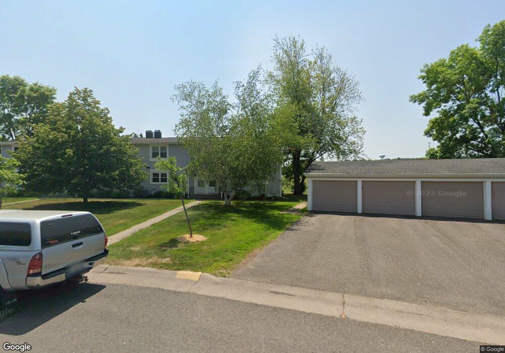
209 Mitchell Cir Unit 48D Duluth, MN 55811
Kenwood NeighborhoodEstimated Value: $204,000 - $242,000
3
Beds
2
Baths
1,104
Sq Ft
$205/Sq Ft
Est. Value
About This Home
This home is located at 209 Mitchell Cir Unit 48D, Duluth, MN 55811 and is currently estimated at $226,711, approximately $205 per square foot. 209 Mitchell Cir Unit 48D is a home located in St. Louis County with nearby schools including Lowell Elementary School, Lincoln Park Middle School, and Denfeld High School.
Ownership History
Date
Name
Owned For
Owner Type
Purchase Details
Closed on
Oct 23, 2007
Sold by
Paragon Associates Of Duluth Inc
Bought by
Nash Susan M
Current Estimated Value
Home Financials for this Owner
Home Financials are based on the most recent Mortgage that was taken out on this home.
Original Mortgage
$111,866
Outstanding Balance
$70,712
Interest Rate
6.45%
Mortgage Type
Purchase Money Mortgage
Estimated Equity
$155,999
Purchase Details
Closed on
Jul 1, 2002
Sold by
Annis James M and Annis Wendy S
Bought by
Paragon Associates Of Duluth Inc
Create a Home Valuation Report for This Property
The Home Valuation Report is an in-depth analysis detailing your home's value as well as a comparison with similar homes in the area
Home Values in the Area
Average Home Value in this Area
Purchase History
| Date | Buyer | Sale Price | Title Company |
|---|---|---|---|
| Nash Susan M | $112,751 | Rels Title | |
| Paragon Associates Of Duluth Inc | -- | -- |
Source: Public Records
Mortgage History
| Date | Status | Borrower | Loan Amount |
|---|---|---|---|
| Open | Nash Susan M | $111,866 |
Source: Public Records
Tax History
| Year | Tax Paid | Tax Assessment Tax Assessment Total Assessment is a certain percentage of the fair market value that is determined by local assessors to be the total taxable value of land and additions on the property. | Land | Improvement |
|---|---|---|---|---|
| 2024 | $2,688 | $218,900 | $21,900 | $197,000 |
| 2023 | $2,688 | $200,800 | $21,900 | $178,900 |
| 2022 | $2,610 | $170,200 | $21,200 | $149,000 |
| 2021 | $1,810 | $133,300 | $20,400 | $112,900 |
| 2020 | $1,636 | $133,300 | $20,400 | $112,900 |
| 2019 | $1,478 | $121,100 | $18,400 | $102,700 |
| 2018 | $1,372 | $112,400 | $18,000 | $94,400 |
| 2017 | $1,362 | $112,400 | $18,000 | $94,400 |
| 2016 | $1,334 | $160,100 | $23,500 | $136,600 |
| 2015 | $1,215 | $75,200 | $12,600 | $62,600 |
| 2014 | $1,215 | $75,200 | $12,600 | $62,600 |
Source: Public Records
Map
Nearby Homes
- 1944 Chinook Dr
- 1802 Rice Lake Rd
- 1804 Rice Lake Rd
- 1145 Como Ave Unit 1
- 2718 Northridge Dr
- 1524 W Arrowhead Rd
- 20xx Stanford Ave
- 205 Bluff's Ridge Ct
- 1919 Middle Ln
- 1950 Middle Ln
- XXX N Basswood Ave
- 1722 North Rd
- 115 E Niagara St
- 116 E Niagara St
- 126 E Niagara St
- 1205 W Arrowhead Rd
- 1910 Ponderosa Ave
- 1011 W Arrowhead Rd
- 3 W Linden St
- 908 E Skyline Pkwy
- 211 Mitchell Cir
- 213 Mitchell Cir Unit 488
- 207 Mitchell Cir Unit 49A
- 215 Mitchell Cir
- 205 Mitchell Cir Unit 49B
- 217 Mitchell Cir
- 208 Mitchell Cir Unit 47D
- 201 Mitchell Cir Unit 49D
- 203 Mitchell Cir
- 206 Mitchell Cir Unit 47C
- 210 Mitchell Cir Unit 51A
- 204 Mitchell Cir Unit 47B
- 219 Mitchell Cir Unit 52C
- 219 Mitchell Cir Unit 5
- 212 Mitchell Cir Unit 51B
- 131 Mitchell Cir Unit 50A
- 319 Kelly Cir Unit 3C
- 202 Mitchell Cir Unit 47A
- 317 Kelly Cir Unit 3D
- 317 317 Kelly Cr
Your Personal Tour Guide
Ask me questions while you tour the home.