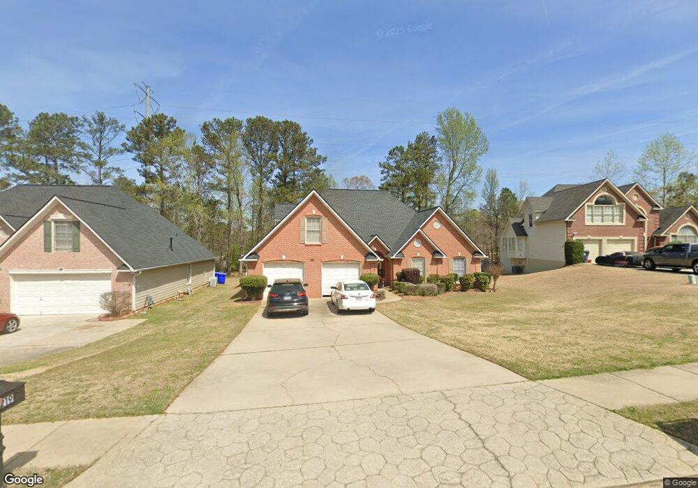
219 Memory Ln Stockbridge, GA 30281
Estimated Value: $357,062 - $403,000
4
Beds
3
Baths
2,779
Sq Ft
$134/Sq Ft
Est. Value
About This Home
This home is located at 219 Memory Ln, Stockbridge, GA 30281 and is currently estimated at $373,766, approximately $134 per square foot. 219 Memory Ln is a home located in Henry County with nearby schools including Red Oak Elementary School, Dutchtown Middle School, and Dutchtown High School.
Ownership History
Date
Name
Owned For
Owner Type
Purchase Details
Closed on
Jan 31, 2002
Sold by
Nieves Joseph and Nieves Carmen
Bought by
Efferson Karla M
Current Estimated Value
Home Financials for this Owner
Home Financials are based on the most recent Mortgage that was taken out on this home.
Original Mortgage
$139,000
Outstanding Balance
$56,438
Interest Rate
6.95%
Mortgage Type
New Conventional
Estimated Equity
$317,328
Purchase Details
Closed on
Jul 26, 1999
Sold by
Herman & Jones Inc
Bought by
Nieves Joseph and Nieves Carmen
Home Financials for this Owner
Home Financials are based on the most recent Mortgage that was taken out on this home.
Original Mortgage
$155,000
Interest Rate
7.66%
Mortgage Type
New Conventional
Create a Home Valuation Report for This Property
The Home Valuation Report is an in-depth analysis detailing your home's value as well as a comparison with similar homes in the area
Home Values in the Area
Average Home Value in this Area
Purchase History
| Date | Buyer | Sale Price | Title Company |
|---|---|---|---|
| Efferson Karla M | $179,000 | -- | |
| Nieves Joseph | $179,600 | -- |
Source: Public Records
Mortgage History
| Date | Status | Borrower | Loan Amount |
|---|---|---|---|
| Open | Efferson Karla M | $139,000 | |
| Previous Owner | Nieves Joseph | $155,000 |
Source: Public Records
Tax History Compared to Growth
Tax History
| Year | Tax Paid | Tax Assessment Tax Assessment Total Assessment is a certain percentage of the fair market value that is determined by local assessors to be the total taxable value of land and additions on the property. | Land | Improvement |
|---|---|---|---|---|
| 2025 | $4,778 | $140,760 | $18,000 | $122,760 |
| 2024 | $4,778 | $140,680 | $18,000 | $122,680 |
| 2023 | $4,315 | $138,520 | $14,000 | $124,520 |
| 2022 | $3,846 | $113,080 | $14,000 | $99,080 |
| 2021 | $3,442 | $96,000 | $14,000 | $82,000 |
| 2020 | $3,283 | $89,280 | $10,000 | $79,280 |
| 2019 | $3,060 | $83,040 | $10,000 | $73,040 |
| 2018 | $2,943 | $79,120 | $10,000 | $69,120 |
| 2016 | $2,612 | $70,480 | $12,000 | $58,480 |
| 2015 | $2,371 | $62,720 | $7,200 | $55,520 |
| 2014 | $2,202 | $57,920 | $7,200 | $50,720 |
Source: Public Records
Map
Nearby Homes
- 1009 Chads Ridge
- 617 Creekstone Ct
- 117 Titan Rd
- 705 Brentwood Pkwy
- 182 Spivey Glen Dr
- 224 Reeves Creek Way
- 200 Ernestine Way
- 568 Ransom Way
- 3139 Players Dr
- 1137 Baileys Ct
- 540 Anglewood Trace
- 623 Brookwater Dr
- 602 Brookwater Dr
- 247 Spivey Ridge Cir
- 223 Monarch Village Way
- 3102 Walt Stephens Rd
- 733 Berkeley Dr
- 732 Berkeley Dr
- 717 Berkeley Dr
- 706 Berkeley Dr