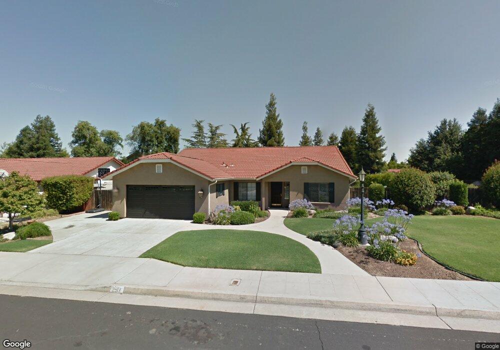
2517 Mitchell Ave Clovis, CA 93611
Estimated Value: $519,227 - $560,000
4
Beds
2
Baths
2,121
Sq Ft
$255/Sq Ft
Est. Value
About This Home
This home is located at 2517 Mitchell Ave, Clovis, CA 93611 and is currently estimated at $541,409, approximately $255 per square foot. 2517 Mitchell Ave is a home located in Fresno County with nearby schools including Clovis Elementary School, Clark Intermediate School, and Clovis High School.
Ownership History
Date
Name
Owned For
Owner Type
Purchase Details
Closed on
Aug 6, 2002
Sold by
Taylor Diana M
Bought by
Payne Stanley D and Payne Jill A
Current Estimated Value
Home Financials for this Owner
Home Financials are based on the most recent Mortgage that was taken out on this home.
Original Mortgage
$162,400
Outstanding Balance
$68,129
Interest Rate
6.43%
Estimated Equity
$473,280
Create a Home Valuation Report for This Property
The Home Valuation Report is an in-depth analysis detailing your home's value as well as a comparison with similar homes in the area
Home Values in the Area
Average Home Value in this Area
Purchase History
| Date | Buyer | Sale Price | Title Company |
|---|---|---|---|
| Payne Stanley D | $204,000 | Financial Title Company |
Source: Public Records
Mortgage History
| Date | Status | Borrower | Loan Amount |
|---|---|---|---|
| Open | Payne Stanley D | $162,400 |
Source: Public Records
Tax History
| Year | Tax Paid | Tax Assessment Tax Assessment Total Assessment is a certain percentage of the fair market value that is determined by local assessors to be the total taxable value of land and additions on the property. | Land | Improvement |
|---|---|---|---|---|
| 2025 | $3,899 | $322,955 | $68,060 | $254,895 |
| 2023 | $3,740 | $310,417 | $65,418 | $244,999 |
| 2022 | $3,690 | $304,332 | $64,136 | $240,196 |
| 2021 | $3,590 | $298,366 | $62,879 | $235,487 |
| 2020 | $3,576 | $295,308 | $62,235 | $233,073 |
| 2019 | $3,508 | $289,518 | $61,015 | $228,503 |
| 2018 | $3,433 | $283,842 | $59,819 | $224,023 |
| 2017 | $3,362 | $278,278 | $58,647 | $219,631 |
| 2016 | $3,251 | $272,823 | $57,498 | $215,325 |
| 2015 | $3,203 | $268,726 | $56,635 | $212,091 |
| 2014 | $3,145 | $263,463 | $55,526 | $207,937 |
Source: Public Records
Map
Nearby Homes
- 2549 Purvis Ave
- 2518 Keats Ave
- 937 Filbert Ave
- 2668 Scott Ave
- 2337 Wrenwood Ave
- 865 McKelvy Ave
- 2020 Hanson Ave
- 2681 Wrenwood Ave
- 2034 Wrenwood Ave
- 1895 Dennis Ave
- 793 Applegate Ave
- 2782 Poe Ave
- 1584 Laverne Ave
- 1876 Cougar Ln
- 2669 Alamos Ave
- 2871 Wrenwood Ave
- 2222 Carson Ave
- 2631 Rall Ave
- 2691 Morris Ave
- 3497 Shaw Ave
- 2509 Mitchell Ave
- 2516 Purvis Ave
- 2510 Purvis Ave
- 2523 Mitchell Ave
- 2520 Mitchell Ave
- 2514 Mitchell Ave
- 2524 Purvis Ave
- 2503 Mitchell Ave
- 2506 Mitchell Ave
- 2504 Purvis Ave
- 2531 Mitchell Ave
- 2528 Mitchell Ave
- 2500 Mitchell Ave
- 2532 Purvis Ave
- 2491 Mitchell Ave
- 2515 Dennis Ave
- 2519 Dennis Ave
- 2511 Dennis Ave
- 2507 Purvis Ave
- 2521 Purvis Ave
Your Personal Tour Guide
Ask me questions while you tour the home.