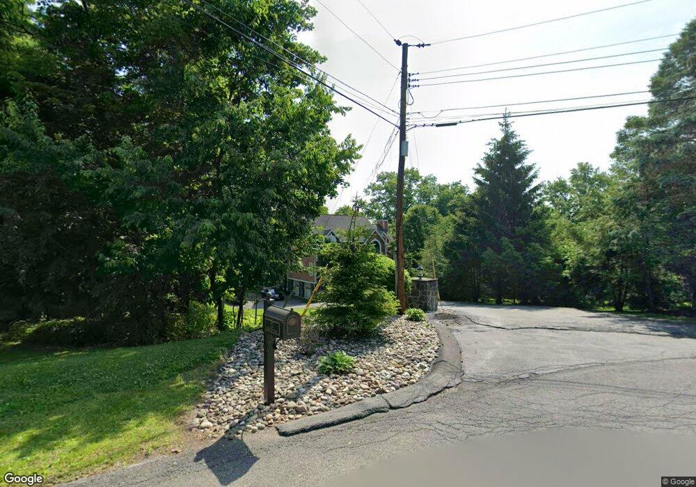
27 Partners Trace Poughkeepsie, NY 12603
Estimated Value: $573,000 - $627,000
4
Beds
4
Baths
2,700
Sq Ft
$225/Sq Ft
Est. Value
About This Home
This home is located at 27 Partners Trace, Poughkeepsie, NY 12603 and is currently estimated at $608,770, approximately $225 per square foot. 27 Partners Trace is a home located in Dutchess County with nearby schools including Vassar Road Elementary School, Kinry Road Elementary School, and Wappingers Junior High School.
Ownership History
Date
Name
Owned For
Owner Type
Purchase Details
Closed on
Dec 8, 2004
Sold by
Genova Thomas
Bought by
Gerardi Ronald
Current Estimated Value
Purchase Details
Closed on
Aug 1, 2003
Sold by
Sierra Import Export Llc
Bought by
Karaban Czeslaw
Purchase Details
Closed on
Jan 15, 2003
Sold by
Ondriska Jan
Bought by
Sierra Import Export Llc
Purchase Details
Closed on
Nov 30, 2000
Sold by
Carregal Joseph A
Bought by
Ondriska Jan
Purchase Details
Closed on
Jun 22, 2000
Sold by
Rand Manning Enterprises
Bought by
Carregal Joseph A
Create a Home Valuation Report for This Property
The Home Valuation Report is an in-depth analysis detailing your home's value as well as a comparison with similar homes in the area
Home Values in the Area
Average Home Value in this Area
Purchase History
| Date | Buyer | Sale Price | Title Company |
|---|---|---|---|
| Gerardi Ronald | $300,000 | -- | |
| Genova Thomas | $205,128 | -- | |
| Karaban Czeslaw | -- | Fred Schaefer | |
| Sierra Import Export Llc | -- | Fred Schaeffer | |
| Ondriska Jan | $65,000 | James F Reitz | |
| Carregal Joseph A | $55,000 | -- |
Source: Public Records
Tax History
| Year | Tax Paid | Tax Assessment Tax Assessment Total Assessment is a certain percentage of the fair market value that is determined by local assessors to be the total taxable value of land and additions on the property. | Land | Improvement |
|---|---|---|---|---|
| 2024 | $13,508 | $383,800 | $65,000 | $318,800 |
| 2023 | $17,047 | $383,800 | $65,000 | $318,800 |
| 2019 | $10,935 | $383,800 | $65,000 | $318,800 |
Source: Public Records
Map
Nearby Homes
- 261 Titusville Rd
- 1 Four Winds Dr
- 27 King Dr
- 56 Daley Rd
- 28 Red Oaks Mill Rd
- 42 Feller Ct
- 322 Noxon Rd
- 3 Davis Rd
- 8 Walker Rd
- 321 Titusville Rd - 128
- 22 Old Mill Rd
- 6 North Dr
- 102 Simone Dr
- 2123 New Hackensack Rd
- 96 Daley Rd
- 3 Mark Vincent Dr
- 86 Vassar Rd
- 23 Robert Rd
- 5 Chestnut Ridge Rd
- 3 Manor Dr W
- 25 Partners Trace
- 4 Partners Trace
- 246 Titusville Rd
- 2 Partners Trace
- 2 Partners Trace
- 14 Partners Trace
- 14 Partners Trace
- 23 Partners Trace
- 23 Partners Trace
- 6 Daley Rd
- 4 Daley Rd
- 2 Daley Rd
- 6 Partners Trace
- 8 Daley Rd
- 3 Partners Trace
- 3 Partners Trace
- 21 Partners Trace
- 21 Partners Trace
- 8 Partners Trace
- 12 Partners Trace
Your Personal Tour Guide
Ask me questions while you tour the home.
