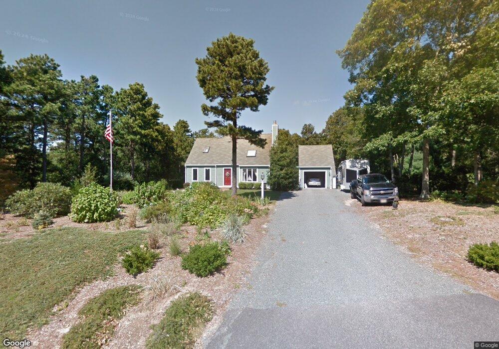
28 Cranberry Ridge Rd Mashpee, MA 02649
Estimated Value: $714,572 - $1,353,000
3
Beds
2
Baths
1,600
Sq Ft
$569/Sq Ft
Est. Value
About This Home
This home is located at 28 Cranberry Ridge Rd, Mashpee, MA 02649 and is currently estimated at $910,643, approximately $569 per square foot. 28 Cranberry Ridge Rd is a home located in Barnstable County with nearby schools including Kenneth C. Coombs School, Quashnet School, and Mashpee Middle School.
Ownership History
Date
Name
Owned For
Owner Type
Purchase Details
Closed on
Jul 31, 2023
Sold by
Thomas William D and Thomas Barbara F
Bought by
Thomas Ft and Thomas
Current Estimated Value
Purchase Details
Closed on
Apr 22, 2010
Sold by
Fbs Rt and Schlegel
Bought by
Thomas William D and Thomas Barbara F
Home Financials for this Owner
Home Financials are based on the most recent Mortgage that was taken out on this home.
Original Mortgage
$262,000
Interest Rate
5%
Mortgage Type
Purchase Money Mortgage
Create a Home Valuation Report for This Property
The Home Valuation Report is an in-depth analysis detailing your home's value as well as a comparison with similar homes in the area
Home Values in the Area
Average Home Value in this Area
Purchase History
| Date | Buyer | Sale Price | Title Company |
|---|---|---|---|
| Thomas Ft | -- | None Available | |
| Thomas William D | $327,500 | -- |
Source: Public Records
Mortgage History
| Date | Status | Borrower | Loan Amount |
|---|---|---|---|
| Previous Owner | Thomas William D | $262,000 |
Source: Public Records
Tax History Compared to Growth
Tax History
| Year | Tax Paid | Tax Assessment Tax Assessment Total Assessment is a certain percentage of the fair market value that is determined by local assessors to be the total taxable value of land and additions on the property. | Land | Improvement |
|---|---|---|---|---|
| 2025 | $4,279 | $646,400 | $243,400 | $403,000 |
| 2024 | $4,011 | $623,800 | $239,700 | $384,100 |
| 2023 | $3,806 | $542,900 | $228,200 | $314,700 |
| 2022 | $3,618 | $442,900 | $185,600 | $257,300 |
| 2021 | $3,531 | $389,300 | $167,200 | $222,100 |
| 2020 | $2,552 | $377,100 | $160,800 | $216,300 |
| 2019 | $3,271 | $361,400 | $160,800 | $200,600 |
| 2018 | $2,258 | $347,100 | $160,800 | $186,300 |
| 2017 | $1,925 | $329,500 | $160,800 | $168,700 |
| 2016 | $2,935 | $317,600 | $160,800 | $156,800 |
| 2015 | $2,799 | $307,200 | $160,800 | $146,400 |
| 2014 | $2,837 | $302,100 | $156,100 | $146,000 |
Source: Public Records
Map
Nearby Homes
- 70 Simons Rd Unit E
- 70 Simons Rd
- 45 Simons Rd Unit A
- 70 Cape Dr Unit 14D
- 220 Dunrobin Rd
- 226 Dunrobin Rd
- 195 Falmouth Rd Unit 3A
- 195 Falmouth Rd Unit 12F
- 195 Falmouth Rd Unit 9D
- 195 Falmouth Rd Unit 7B
- 320 Quinaquisset Ave
- 16 Spring Brook Ln
- 14 Willow Cir
- 6 Willow Cir
- 295 Pheasant Hill Cir
- 5 Darby Point Unit 5
- 16 Cedar St
- 4 Bishops Park
- 16 Cranberry Ridge Rd
- 36 Cranberry Ridge Rd
- 0 Cranberry Ridge Rd
- 117 Sampsons Mill Rd
- 4 Cranberry Ridge Rd
- 33 Cranberry Ridge Rd
- 27 Cranberry Ridge Rd
- 123 Sampsons Mill Rd
- 39 Cranberry Ridge Rd
- 21 Cranberry Ridge Rd
- 21 Cranberry Ridge Rd Unit .
- 127 Sampsons Mill Rd
- 15 Cranberry Ridge Rd
- 11 Cranberry Ridge Rd
- 47 Cranberry Ridge Rd
- 131 Sampsons Mill Rd
- 5 Cranberry Ridge Rd
- 0 Sampsons Mill Rd
- 118 Sampsons Mill Rd
- 112 Sampsons Mill Rd