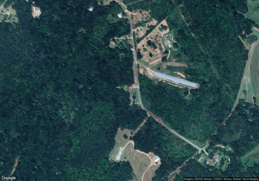
290 Singleton Rd Eastanollee, GA 30538
Estimated Value: $225,000 - $281,000
3
Beds
2
Baths
1,600
Sq Ft
$158/Sq Ft
Est. Value
About This Home
This home is located at 290 Singleton Rd, Eastanollee, GA 30538 and is currently estimated at $252,940, approximately $158 per square foot. 290 Singleton Rd is a home located in Stephens County with nearby schools including Stephens County High School.
Ownership History
Date
Name
Owned For
Owner Type
Purchase Details
Closed on
Feb 18, 2014
Sold by
Martin William R
Bought by
Anderson Daniel A and Anderson Molly L
Current Estimated Value
Purchase Details
Closed on
Feb 8, 2012
Sold by
Lynn Debra L
Bought by
Anderson Daniel A
Purchase Details
Closed on
Apr 1, 1997
Sold by
Weldon Lois R
Bought by
Townsend Kathleen A
Create a Home Valuation Report for This Property
The Home Valuation Report is an in-depth analysis detailing your home's value as well as a comparison with similar homes in the area
Home Values in the Area
Average Home Value in this Area
Purchase History
| Date | Buyer | Sale Price | Title Company |
|---|---|---|---|
| Anderson Daniel A | -- | -- | |
| Anderson Daniel A | $91,000 | -- | |
| Townsend Kathleen A | -- | -- |
Source: Public Records
Tax History Compared to Growth
Tax History
| Year | Tax Paid | Tax Assessment Tax Assessment Total Assessment is a certain percentage of the fair market value that is determined by local assessors to be the total taxable value of land and additions on the property. | Land | Improvement |
|---|---|---|---|---|
| 2024 | $648 | $57,326 | $9,996 | $47,330 |
| 2023 | $545 | $54,254 | $9,996 | $44,258 |
| 2022 | $482 | $52,131 | $9,996 | $42,135 |
| 2021 | $418 | $49,308 | $9,996 | $39,312 |
| 2020 | $422 | $49,310 | $9,996 | $39,314 |
| 2019 | $404 | $48,687 | $9,520 | $39,167 |
| 2018 | $402 | $48,603 | $9,520 | $39,083 |
| 2017 | $408 | $48,603 | $9,520 | $39,083 |
| 2016 | $405 | $48,603 | $9,520 | $39,083 |
| 2015 | $408 | $48,111 | $9,520 | $38,591 |
| 2014 | $305 | $44,861 | $6,270 | $38,592 |
| 2013 | -- | $45,317 | $7,837 | $37,480 |
Source: Public Records
Map
Nearby Homes
- 290 Indian Dr
- 1520 Defoor Rd
- 2657 Wolfpit Rd
- 219 Eastanollee Rd
- 197 Howard Rd
- 232 Oak Way Dr
- 303 Oak Way Dr
- 160 Oak Way Dr
- 271 Oak Way Dr
- 3.35 ACRES Keener Rd
- 17 Pinetree Rd
- 7 Jottings Dr
- 883 Dortch Rd
- 825 Dortch Rd
- 771 Dortch Rd
- 729 Dortch Rd
- 683 Dortch Rd
- 653 Dortch Rd
- 0 Eastanollee Rd Unit 10440265
- 836 Swilling Rd
- 202 Singleton Rd
- 200 Singleton Rd
- 231 Singleton Rd
- 180 Singleton Rd
- 110 Singleton Rd
- 535 Scott Rd
- 36 Singleton Rd
- 0 Scott Rd Unit 8368976
- 0 Scott Rd Unit 8270888
- 0 Scott Rd Unit 7072398
- 0 Scott Rd Unit 7177647
- 0 Scott Rd Unit 33.29 7555940
- 0 Scott Rd Unit 7555923
- 0 Scott Rd Unit 33.29 8102792
- 0 Scott Rd Unit 8102790
- 0 Scott Rd Unit CM962171
- 87 Singleton Rd
- 770 Scott Rd
- 886 Scott Rd
- 973 Scott Rd
