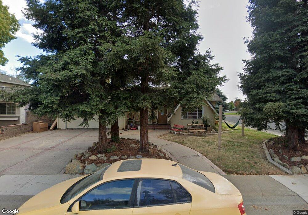
3062 Ramsgate Way Rancho Cordova, CA 95670
White Rock NeighborhoodEstimated Value: $267,000 - $464,000
4
Beds
2
Baths
1,356
Sq Ft
$274/Sq Ft
Est. Value
About This Home
This home is located at 3062 Ramsgate Way, Rancho Cordova, CA 95670 and is currently estimated at $371,744, approximately $274 per square foot. 3062 Ramsgate Way is a home located in Sacramento County with nearby schools including White Rock Elementary School, Mills Middle School, and Cordova High School.
Ownership History
Date
Name
Owned For
Owner Type
Purchase Details
Closed on
Mar 3, 2015
Sold by
Sears Edmund and Sears Joni A
Bought by
Worstell Cheryl
Current Estimated Value
Purchase Details
Closed on
Mar 4, 2010
Sold by
The Bank Of New York Mellon Trust Compan
Bought by
Sears Edmund and Sears Joni A
Purchase Details
Closed on
Nov 2, 2009
Sold by
Coombes Nancy J and Coombes Gary
Bought by
The Bank Of New York Mellon Trust Compan and The Bank Of New York Trust Company Na
Purchase Details
Closed on
Apr 20, 1998
Sold by
Tru Esther Marie Cheely Revocable Livin and Murray Marilyn Jeanne
Bought by
Coombes Gary T and Coombes Nancy J
Purchase Details
Closed on
Jan 19, 1995
Sold by
Cheely Esther M
Bought by
Cheely Esther Marie and Esther Marie Cheely Revocable
Create a Home Valuation Report for This Property
The Home Valuation Report is an in-depth analysis detailing your home's value as well as a comparison with similar homes in the area
Home Values in the Area
Average Home Value in this Area
Purchase History
| Date | Buyer | Sale Price | Title Company |
|---|---|---|---|
| Worstell Cheryl | $97,500 | None Available | |
| Sears Edmund | $114,500 | Fidelity National Title Co | |
| The Bank Of New York Mellon Trust Compan | $115,600 | Servicelink | |
| Coombes Gary T | $83,000 | Financial Title Company | |
| Cheely Esther Marie | -- | -- |
Source: Public Records
Tax History Compared to Growth
Tax History
| Year | Tax Paid | Tax Assessment Tax Assessment Total Assessment is a certain percentage of the fair market value that is determined by local assessors to be the total taxable value of land and additions on the property. | Land | Improvement |
|---|---|---|---|---|
| 2025 | $2,305 | $190,987 | $69,026 | $121,961 |
| 2024 | $2,305 | $187,243 | $67,673 | $119,570 |
| 2023 | $2,259 | $183,573 | $66,347 | $117,226 |
| 2022 | $2,230 | $179,975 | $65,047 | $114,928 |
| 2021 | $2,187 | $176,447 | $63,772 | $112,675 |
| 2020 | $2,172 | $174,639 | $63,119 | $111,520 |
| 2019 | $2,138 | $171,216 | $61,882 | $109,334 |
| 2018 | $2,083 | $167,860 | $60,669 | $107,191 |
| 2017 | $2,031 | $164,570 | $59,480 | $105,090 |
| 2016 | $1,985 | $161,344 | $58,314 | $103,030 |
| 2015 | $1,469 | $122,849 | $54,881 | $67,968 |
| 2014 | $1,563 | $120,443 | $53,806 | $66,637 |
Source: Public Records
Map
Nearby Homes
- 3231 Nosler Ct
- 10472 Abbottford Way
- 10433 Rockingham Dr
- 10035 Mills Station Rd
- 10035 Mills Station Rd Unit 136
- 10035 Mills Station Rd Unit 153
- 10233 Countryside Way
- 10276 S White Rock Rd
- 10167 Country Way
- 47 Temple
- 2701 El Caprice Dr
- 10470 Spaulding Way
- 10204 Malaga Way
- 60 Count Way
- 2629 La Loma Dr
- 146 Lord Way
- 10850 Basie Way
- 2904 Poole Dr
- 2926 Poole Dr Unit 25
- 10246 Pistachio Way
- 3064 Ramsgate Way
- 3041 Portsmouth Dr
- 3066 Ramsgate Way
- 3060 Ramsgate Way
- 3029 Portsmouth Dr
- 3036 Ryde Ct
- 3051 Portsmouth Dr
- 3068 Ramsgate Way
- 3028 Winchester Way
- 3028 Portsmouth Dr
- 3061 Portsmouth Dr
- 3025 Portsmouth Dr
- 3058 Ramsgate Way
- 3038 Ryde Ct
- 3024 Winchester Way
- 3024 Portsmouth Dr
- 3070 Ramsgate Way
- 3065 Portsmouth Dr
- 3048 Ryde Ct
- 3021 Portsmouth Dr