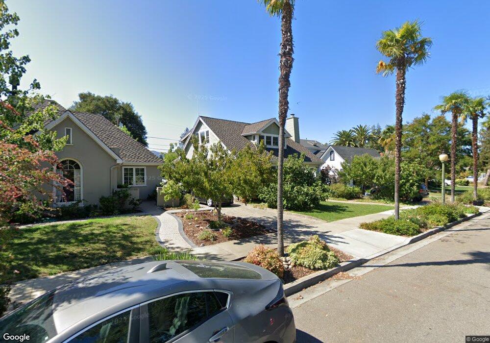
339 Loreto St Mountain View, CA 94041
Estimated Value: $2,491,527 - $3,844,000
2
Beds
2
Baths
1,273
Sq Ft
$2,547/Sq Ft
Est. Value
About This Home
This home is located at 339 Loreto St, Mountain View, CA 94041 and is currently estimated at $3,242,632, approximately $2,547 per square foot. 339 Loreto St is a home located in Santa Clara County with nearby schools including Edith Landels Elementary School, Isaac Newton Graham Middle School, and Mountain View High School.
Ownership History
Date
Name
Owned For
Owner Type
Purchase Details
Closed on
Sep 30, 2021
Sold by
Brennan Edward E and Brennan Sherril S
Bought by
Brennan Edward E and Brennan Sherril S
Current Estimated Value
Purchase Details
Closed on
Oct 7, 2008
Sold by
Brennan Edward F and Brennan Sherril S
Bought by
Brennan Edward F and Brennan Sherril S
Create a Home Valuation Report for This Property
The Home Valuation Report is an in-depth analysis detailing your home's value as well as a comparison with similar homes in the area
Home Values in the Area
Average Home Value in this Area
Purchase History
We collect this data history from publicly available records. To have your information removed, we recommend requesting removal directly through your county’s website.
| Date | Buyer | Sale Price | Title Company |
|---|---|---|---|
| Brennan Edward E | -- | None Available | |
| Brennan Edward F | -- | None Available |
Source: Public Records
Tax History
| Year | Tax Paid | Tax Assessment Tax Assessment Total Assessment is a certain percentage of the fair market value that is determined by local assessors to be the total taxable value of land and additions on the property. | Land | Improvement |
|---|---|---|---|---|
| 2025 | $4,246 | $352,880 | $163,261 | $189,619 |
| 2024 | $4,246 | $345,961 | $160,060 | $185,901 |
| 2023 | $4,202 | $339,178 | $156,922 | $182,256 |
| 2022 | $4,187 | $332,529 | $153,846 | $178,683 |
| 2021 | $4,086 | $326,010 | $150,830 | $175,180 |
| 2020 | $4,089 | $322,668 | $149,284 | $173,384 |
| 2019 | $3,925 | $316,342 | $146,357 | $169,985 |
| 2018 | $3,893 | $310,140 | $143,488 | $166,652 |
| 2017 | $3,738 | $304,060 | $140,675 | $163,385 |
| 2016 | $3,580 | $298,099 | $137,917 | $160,182 |
| 2015 | $3,480 | $293,622 | $135,846 | $157,776 |
| 2014 | $3,465 | $287,871 | $133,185 | $154,686 |
Source: Public Records
Map
Nearby Homes
- 237 Hope St
- 231 Hope St
- 227 Hope St
- 903 W Dana St
- 958 California St
- 434 Franklin St
- 505 Cypress Point Dr Unit 263
- 118 Minaret Ave
- 284 Elmwood St
- 537 Mountain View Ave
- 1101 W El Camino Real Unit 417
- 217 Ada Ave Unit 16
- 440 Moffett Blvd Unit 84
- 440 Moffett Blvd Unit 86
- 928 Wright Ave Unit 401
- 501 Moorpark Way Unit 65
- 501 Moorpark Way Unit 104
- 500 W Middlefield Rd Unit 41
- 500 W Middlefield Rd Unit 122
- 500 W Middlefield Rd Unit 170
Your Personal Tour Guide
Ask me questions while you tour the home.