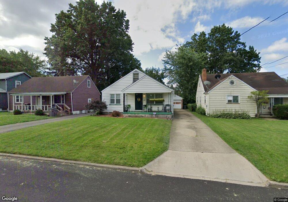
349 Cornell Ave Youngstown, OH 44507
Cottage Grove NeighborhoodEstimated Value: $55,000 - $66,000
3
Beds
1
Bath
1,530
Sq Ft
$40/Sq Ft
Est. Value
About This Home
This home is located at 349 Cornell Ave, Youngstown, OH 44507 and is currently estimated at $60,647, approximately $39 per square foot. 349 Cornell Ave is a home located in Mahoning County with nearby schools including Taft Elementary School, Williamson Elementary School, and East High School.
Ownership History
Date
Name
Owned For
Owner Type
Purchase Details
Closed on
Oct 14, 2004
Sold by
The Bank Of New York
Bought by
Bosela John M and Bosela Linda
Current Estimated Value
Purchase Details
Closed on
Jul 14, 2004
Sold by
Boudrey Joyce E
Bought by
The Bank Of New York
Purchase Details
Closed on
Mar 26, 1999
Sold by
Ferry Bruce M
Bought by
Boudrey Bre E and Boudrey Joyce E
Purchase Details
Closed on
Feb 11, 1960
Bought by
Petrella Petrella J and Petrella Carmella
Create a Home Valuation Report for This Property
The Home Valuation Report is an in-depth analysis detailing your home's value as well as a comparison with similar homes in the area
Home Values in the Area
Average Home Value in this Area
Purchase History
| Date | Buyer | Sale Price | Title Company |
|---|---|---|---|
| Bosela John M | $22,651 | Resource Title Agency Inc | |
| The Bank Of New York | $32,100 | Resource Title Agency Inc | |
| Boudrey Bre E | $25,000 | -- | |
| Petrella Petrella J | -- | -- |
Source: Public Records
Mortgage History
| Date | Status | Borrower | Loan Amount |
|---|---|---|---|
| Closed | Boudrey Bre E | $0 |
Source: Public Records
Tax History
| Year | Tax Paid | Tax Assessment Tax Assessment Total Assessment is a certain percentage of the fair market value that is determined by local assessors to be the total taxable value of land and additions on the property. | Land | Improvement |
|---|---|---|---|---|
| 2025 | $452 | $10,450 | $610 | $9,840 |
| 2024 | $513 | $10,450 | $610 | $9,840 |
| 2023 | $509 | $10,450 | $610 | $9,840 |
| 2022 | $403 | $6,360 | $670 | $5,690 |
| 2021 | $403 | $6,360 | $670 | $5,690 |
| 2020 | $405 | $6,360 | $670 | $5,690 |
| 2019 | $413 | $5,790 | $610 | $5,180 |
| 2018 | $438 | $5,790 | $610 | $5,180 |
| 2017 | $414 | $5,790 | $610 | $5,180 |
| 2016 | $550 | $8,290 | $610 | $7,680 |
| 2015 | $566 | $8,290 | $610 | $7,680 |
| 2014 | $521 | $8,290 | $610 | $7,680 |
| 2013 | $514 | $8,290 | $610 | $7,680 |
Source: Public Records
Map
Nearby Homes
- 353 Cornell Ave
- 328 Marmion Ave
- 544 Miller St
- 564 Miller St
- 0000 S Ave
- 609 E Dewey Ave
- 559 E Avondale Ave
- 727 Wilbur Ave
- 852 Marmion Ave
- 95 E Earle Ave
- 734 Cambridge Ave
- 178 E Ravenwood Ave
- 930 Cornell St
- 863 Pasadena Ave
- 632 Samuel Ave
- 582 Roxbury Ave
- 3031 Market St
- 371 Potomac Ave
- 131 E Ravenwood Ave Unit 133
- 919 E Dewey Ave
- 345 Cornell Ave
- 341 Cornell Ave
- 352 Marmion Ave
- 356 Marmion Ave
- 357 Cornell Ave
- 348 Marmion Ave
- 337 Cornell Ave
- 344 Marmion Ave
- 362 Marmion Ave
- 348 Cornell Ave
- 340 Marmion Ave
- 352 Cornell Ave
- 366 Marmion Ave
- 344 Cornell Ave
- 333 Cornell Ave
- 370 Marmion Ave
- 361 Cornell Ave
- 336 Marmion Ave
- 329 Cornell Ave
- 340 Cornell Ave