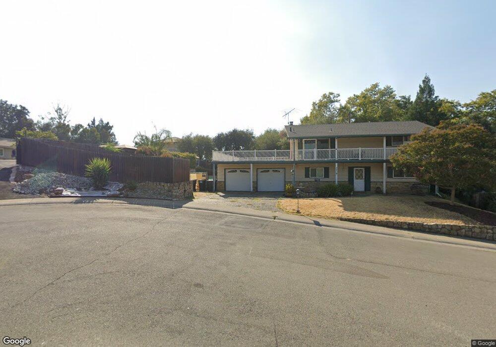
4219 Wenatchee Ct Fair Oaks, CA 95628
Estimated Value: $639,000 - $754,000
About This Home
This home is located at 4219 Wenatchee Ct, Fair Oaks, CA 95628 and is currently estimated at $697,812, approximately $334 per square foot. 4219 Wenatchee Ct is a home located in Sacramento County with nearby schools including Carmichael Elementary School, John Barrett Middle School, and Del Campo High School.
Ownership History
We collect this data history from publicly available records. To have your information removed, we recommend requesting removal directly through your county’s website.
Purchase Details
Home Financials for this Owner
Home Financials are based on the most recent Mortgage that was taken out on this home.Purchase Details
Home Financials for this Owner
Home Financials are based on the most recent Mortgage that was taken out on this home.Purchase Details
Home Values in the Area
Average Home Value in this Area
Purchase History
We collect this data history from publicly available records. To have your information removed, we recommend requesting removal directly through your county’s website.
| Date | Buyer | Sale Price | Title Company |
|---|---|---|---|
| -- | Sacramento Title Company | ||
| -- | -- | ||
| -- | -- |
Mortgage History
We collect this data history from publicly available records. To have your information removed, we recommend requesting removal directly through your county’s website.
| Date | Status | Borrower | Loan Amount |
|---|---|---|---|
| Closed | $35,000 | ||
| Closed | $35,000 |
Tax History
We collect this data history from publicly available records. To have your information removed, we recommend requesting removal directly through your county’s website.
| Year | Tax Paid | Tax Assessment Tax Assessment Total Assessment is a certain percentage of the fair market value that is determined by local assessors to be the total taxable value of land and additions on the property. | Land | Improvement |
|---|---|---|---|---|
| 2025 | $1,857 | $149,216 | $16,264 | $132,952 |
| 2024 | $1,843 | $146,292 | $15,946 | $130,346 |
| 2023 | $1,789 | $143,425 | $15,634 | $127,791 |
| 2022 | $1,782 | $140,614 | $15,328 | $125,286 |
| 2021 | $1,747 | $137,858 | $15,028 | $122,830 |
| 2020 | $1,722 | $136,445 | $14,874 | $121,571 |
| 2019 | $1,679 | $133,771 | $14,583 | $119,188 |
| 2018 | $1,642 | $131,149 | $14,298 | $116,851 |
| 2017 | $1,625 | $128,578 | $14,018 | $114,560 |
| 2016 | $1,520 | $126,058 | $13,744 | $112,314 |
| 2015 | $1,494 | $124,165 | $13,538 | $110,627 |
| 2014 | $1,463 | $121,733 | $13,273 | $108,460 |
Map
- 4201 Olga Ln
- 4215 New York Ave
- 4025 New York Ave Unit 525
- 0 Howard St
- 4401 Pennsylvania Ave
- 4224 Crestline Ave
- 7731 Winding Way
- 4301 Alsace Ct
- 4040 Minnesota Ave
- 0 Ridge St Unit 225129517
- 0 Ridge St Unit 224054501
- 4111 Sunrise Blvd
- 4134 Bannister Rd
- 4291 Watkins Dr
- 7702 Southcliff Dr
- 4524 Crestridge Rd
- 4134-lot 1 Bannister Rd
- 4339 Stencar Dr
- 8061 Grand Ave
- 3940 Bannister Rd
Ask me questions while you tour the home.