43 Bowdoin Rd Mashpee, MA 2649
Studio
--
Bath
--
Sq Ft
44,997
Sq Ft Lot
About This Home
This home is located at 43 Bowdoin Rd, Mashpee, MA 2649. 43 Bowdoin Rd is a home located in Barnstable County with nearby schools including Kenneth C. Coombs School, Quashnet School, and Mashpee Middle School.
Ownership History
Date
Name
Owned For
Owner Type
Purchase Details
Closed on
Dec 28, 2021
Sold by
Crown Atlantic Co Llc
Bought by
Pierless Realty Llc
Purchase Details
Closed on
Apr 26, 1996
Sold by
Kuhn Christopher P
Bought by
Cellulr Cape and Cellulr Islands
Purchase Details
Closed on
Apr 15, 1994
Sold by
Mcknight Louis and Mcknight Linda
Bought by
Kuhn Christopher F
Home Financials for this Owner
Home Financials are based on the most recent Mortgage that was taken out on this home.
Original Mortgage
$30,000
Interest Rate
7.45%
Mortgage Type
Commercial
Create a Home Valuation Report for This Property
The Home Valuation Report is an in-depth analysis detailing your home's value as well as a comparison with similar homes in the area
Purchase History
| Date | Buyer | Sale Price | Title Company |
|---|---|---|---|
| Pierless Realty Llc | $165,000 | None Available | |
| Cellulr Cape | $285,000 | -- | |
| Kuhn Christopher F | $90,000 | -- |
Source: Public Records
Mortgage History
| Date | Status | Borrower | Loan Amount |
|---|---|---|---|
| Previous Owner | Kuhn Christopher F | $30,000 |
Source: Public Records
Tax History
| Year | Tax Paid | Tax Assessment Tax Assessment Total Assessment is a certain percentage of the fair market value that is determined by local assessors to be the total taxable value of land and additions on the property. | Land | Improvement |
|---|---|---|---|---|
| 2025 | $2,420 | $382,300 | $190,200 | $192,100 |
| 2024 | $2,326 | $365,700 | $182,900 | $182,800 |
| 2023 | $2,417 | $348,300 | $174,200 | $174,100 |
| 2022 | $2,571 | $314,700 | $156,400 | $158,300 |
| 2021 | $2,760 | $304,300 | $147,500 | $156,800 |
| 2020 | $2,712 | $298,400 | $143,300 | $155,100 |
| 2019 | $2,650 | $292,800 | $139,100 | $153,700 |
| 2018 | $2,563 | $287,300 | $135,200 | $152,100 |
| 2017 | $2,601 | $283,000 | $130,900 | $152,100 |
| 2016 | $2,565 | $277,600 | $130,900 | $146,700 |
| 2015 | $2,505 | $275,000 | $128,300 | $146,700 |
| 2014 | $2,545 | $271,000 | $124,300 | $146,700 |
Source: Public Records
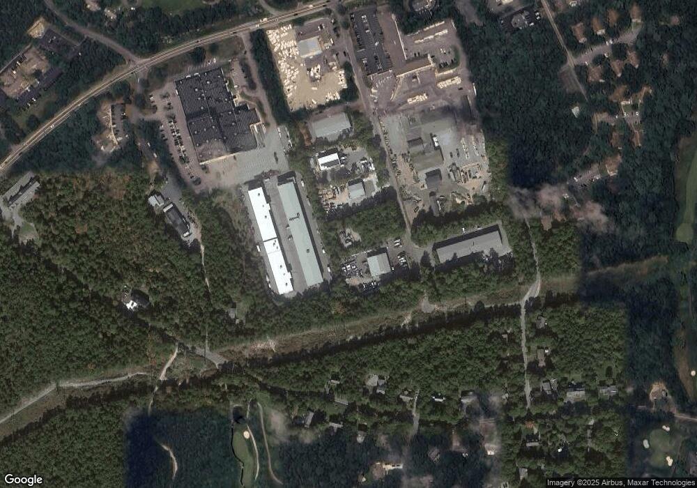
Map
Nearby Homes
- 70 Cape Dr Unit 14D
- 70 Cape Dr Unit 15D
- 70 Cape Dr Unit 11D
- 70 Cape Dr Unit 15D
- 70 Cape Dr Unit 11D
- 70 Simons Rd Unit E
- 70 Simons Rd
- 16 Spring Brook Ln
- 226 Dunrobin Rd
- 195 Falmouth Rd Unit 19F
- 195 Falmouth Rd Unit 9D
- 195 Falmouth Rd Unit 19F
- 4 Bishops Park
- 22 Stratford Ridge Unit 22
- 114 Orchard Rd
- 6 Willow Cir
- 14 Rainbow Ln
- 35 Claulise Ln
- 10 Butler Ln
- 25 Rainbow Ln
- 53 Bowdoin Rd
- 37 Bowdoin Rd
- 31 Bowdoin Rd
- 46 Bowdoin Rd
- 83 Cape Dr
- 56 Bowdoin Rd Unit 10
- 56 Bowdoin Rd
- 56 Bowdoin Rd Unit 6
- 56 Bowdoin Rd Unit 13
- 56 Bowdoin Rd Unit 14
- 56 Bowdoin Rd Unit 5
- 56 Bowdoin Rd Unit 2
- 56 Bowdoin Rd Unit 8
- 56 Bowdoin Rd Unit 4
- 56 Bowdoin Rd Unit 12
- 56 Bowdoin Rd Unit 9
- 56 Bowdoin Rd Unit 3
- 56 Bowdoin Rd Unit 11
- 56 Bowdoin Rd Unit 7
- 56 Bowdoin Rd Unit 1
Your Personal Tour Guide
Ask me questions while you tour the home.