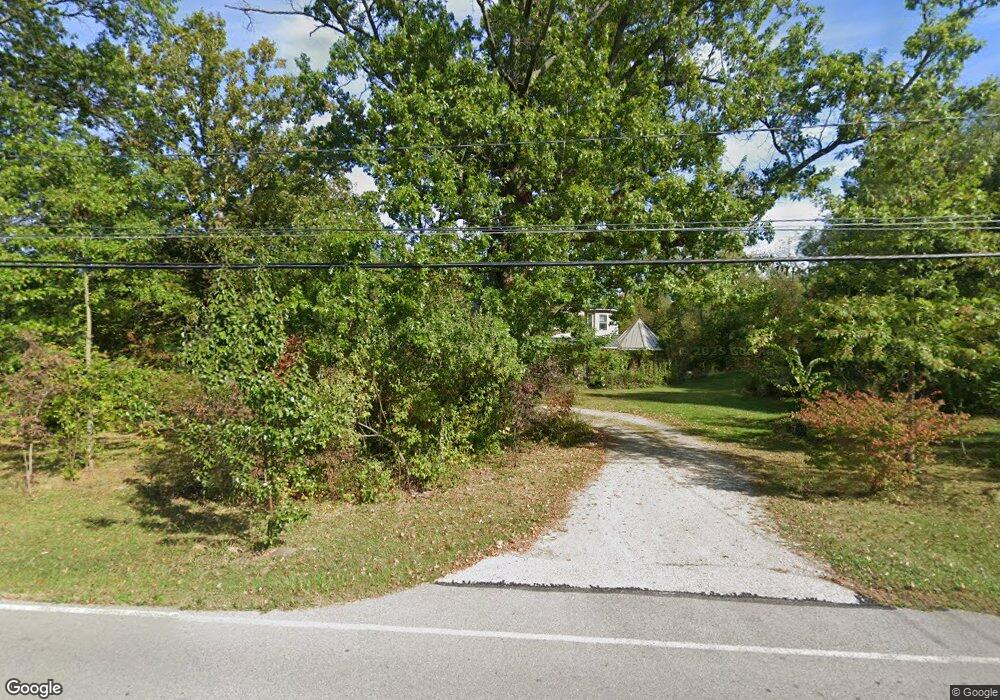
45256 Parsons Rd Oberlin, OH 44074
Estimated Value: $316,000 - $464,197
3
Beds
3
Baths
2,141
Sq Ft
$181/Sq Ft
Est. Value
About This Home
This home is located at 45256 Parsons Rd, Oberlin, OH 44074 and is currently estimated at $387,799, approximately $181 per square foot. 45256 Parsons Rd is a home located in Lorain County with nearby schools including Oberlin Elementary School, Prospect Elementary School, and Langston Middle School.
Ownership History
Date
Name
Owned For
Owner Type
Purchase Details
Closed on
Mar 29, 2023
Sold by
Cadenhead Thomas S
Bought by
T & S Cadenhead Family Irrevocable Trust
Current Estimated Value
Purchase Details
Closed on
Jan 31, 2006
Sold by
Cadenhead Thomas S and Cadenhead Solae B
Bought by
Cadenhead Thomas S and Cadenhead Solae B
Purchase Details
Closed on
Dec 8, 2004
Sold by
Wynn Brian and Fenn Saundra
Bought by
Cadenhead Thomas S and Cadenhead Solae B
Purchase Details
Closed on
Nov 30, 2004
Sold by
Hopewell Mark A and Hopewell Genet M
Bought by
Cadenhead Thomas S and Cadenhead Solae B
Purchase Details
Closed on
Aug 23, 2004
Sold by
Hopewell Mildred
Bought by
Hopewell Mark A
Purchase Details
Closed on
Aug 18, 2004
Sold by
Moore Norman
Bought by
Hopewell Mark A
Create a Home Valuation Report for This Property
The Home Valuation Report is an in-depth analysis detailing your home's value as well as a comparison with similar homes in the area
Home Values in the Area
Average Home Value in this Area
Purchase History
| Date | Buyer | Sale Price | Title Company |
|---|---|---|---|
| T & S Cadenhead Family Irrevocable Trust | -- | None Listed On Document | |
| Cadenhead Thomas S | -- | None Available | |
| Cadenhead Thomas S | -- | Lake County Title | |
| Cadenhead Thomas S | $78,000 | Lake County Title Llc | |
| Hopewell Mark A | -- | -- | |
| Hopewell Mark A | $29,800 | -- |
Source: Public Records
Tax History Compared to Growth
Tax History
| Year | Tax Paid | Tax Assessment Tax Assessment Total Assessment is a certain percentage of the fair market value that is determined by local assessors to be the total taxable value of land and additions on the property. | Land | Improvement |
|---|---|---|---|---|
| 2024 | $5,676 | $126,837 | $33,338 | $93,499 |
| 2023 | $4,629 | $95,183 | $25,085 | $70,098 |
| 2022 | $4,488 | $95,183 | $25,085 | $70,098 |
| 2021 | $4,483 | $95,183 | $25,085 | $70,098 |
| 2020 | $4,048 | $80,740 | $21,280 | $59,460 |
| 2019 | $4,010 | $80,740 | $21,280 | $59,460 |
| 2018 | $4,044 | $80,740 | $21,280 | $59,460 |
| 2017 | $3,620 | $73,230 | $25,390 | $47,840 |
| 2016 | $3,659 | $73,230 | $25,390 | $47,840 |
| 2015 | $3,662 | $73,230 | $25,390 | $47,840 |
| 2014 | $3,826 | $75,110 | $26,040 | $49,070 |
| 2013 | $3,753 | $75,110 | $26,040 | $49,070 |
Source: Public Records
Map
Nearby Homes
- 152 Shipherd Cir
- 187 Shipherd Cir
- 110 Shipherd Cir
- 95 Shipherd Cir
- 248 Shipherd Cir
- 182 E Hamilton St
- 44867 E Hamilton St
- 118 Locust St
- 296 S Pleasant St
- 62 Locust St
- 59 E Vine St
- 126 N Park St
- 14409 State Route 58
- 123 S Professor St
- 121 S Professor St
- 89 S Professor St
- 81 S Professor St
- 147 Morgan St
- 149 Morgan St
- 396 Reserve Ave
- 45286 Parsons Rd
- 45251 Parsons Rd
- 45295 Parsons Rd
- 45217 Parsons Rd
- 45351 Parsons Rd
- 45336 Parsons Rd
- 45160 Parsons Rd
- 45354 Parsons Rd
- 45343 Parsons Rd
- 45131 Parsons Rd
- 45455 Parsons Rd
- 45100 Parsons Rd
- 45105 Parsons Rd
- 45493 Parsons Rd
- 13550 Oberlin Rd
- 45494 Parsons Rd
- 45527 Parsons Rd
- 301 Sumner St
- 45366 E Hamilton St
- 45095 Parsons Rd