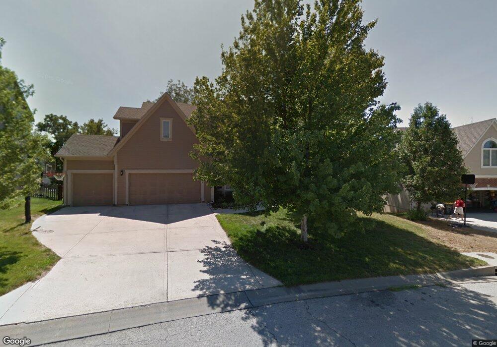
6009 Lone Elm Rd Shawnee, KS 66218
Estimated Value: $563,000 - $594,000
4
Beds
5
Baths
2,743
Sq Ft
$210/Sq Ft
Est. Value
About This Home
This home is located at 6009 Lone Elm Rd, Shawnee, KS 66218 and is currently estimated at $575,331, approximately $209 per square foot. 6009 Lone Elm Rd is a home located in Johnson County with nearby schools including Clear Creek Elementary School, Monticello Trails Middle School, and Mill Valley High School.
Ownership History
Date
Name
Owned For
Owner Type
Purchase Details
Closed on
Sep 28, 2023
Sold by
Befort Randy and Randall Joseph
Bought by
Befort Randy and Befort Randall Joseph
Current Estimated Value
Purchase Details
Closed on
Jul 25, 2001
Sold by
Pebble Creek Homes Inc
Bought by
Beford Randy and Befort Cecile
Home Financials for this Owner
Home Financials are based on the most recent Mortgage that was taken out on this home.
Original Mortgage
$231,200
Interest Rate
7.07%
Purchase Details
Closed on
Mar 13, 2001
Sold by
Scc Investors Llc
Bought by
Pebble Creek Homes Inc
Home Financials for this Owner
Home Financials are based on the most recent Mortgage that was taken out on this home.
Original Mortgage
$224,000
Interest Rate
6.95%
Create a Home Valuation Report for This Property
The Home Valuation Report is an in-depth analysis detailing your home's value as well as a comparison with similar homes in the area
Home Values in the Area
Average Home Value in this Area
Purchase History
| Date | Buyer | Sale Price | Title Company |
|---|---|---|---|
| Befort Randy | -- | None Listed On Document | |
| Beford Randy | -- | Stewart Title | |
| Pebble Creek Homes Inc | -- | Security Land Title Company |
Source: Public Records
Mortgage History
| Date | Status | Borrower | Loan Amount |
|---|---|---|---|
| Previous Owner | Beford Randy | $231,200 | |
| Previous Owner | Pebble Creek Homes Inc | $224,000 |
Source: Public Records
Tax History Compared to Growth
Tax History
| Year | Tax Paid | Tax Assessment Tax Assessment Total Assessment is a certain percentage of the fair market value that is determined by local assessors to be the total taxable value of land and additions on the property. | Land | Improvement |
|---|---|---|---|---|
| 2024 | $7,084 | $60,697 | $10,640 | $50,057 |
| 2023 | $7,121 | $60,502 | $10,640 | $49,862 |
| 2022 | $6,776 | $56,407 | $9,670 | $46,737 |
| 2021 | $6,172 | $49,496 | $8,789 | $40,707 |
| 2020 | $6,105 | $48,518 | $8,789 | $39,729 |
| 2019 | $5,976 | $46,793 | $7,644 | $39,149 |
| 2018 | $5,518 | $42,814 | $7,644 | $35,170 |
| 2017 | $5,597 | $42,377 | $6,648 | $35,729 |
| 2016 | $5,452 | $40,767 | $6,334 | $34,433 |
| 2015 | $5,381 | $39,468 | $6,334 | $33,134 |
| 2013 | -- | $36,225 | $6,334 | $29,891 |
Source: Public Records
Map
Nearby Homes
- 6031 Lakecrest Dr
- 21609 W 61st St
- 6046 Redbud St
- 5900 Redbud St
- 5725 Marion St
- 21315 W 56th St
- 21309 W 56th St
- 22209 W 57th St
- 6358 Hilltop St
- 21217 W 55th Terrace
- 5817 Millbrook St
- 22310 W 58th St
- 6246 Woodland Dr
- 24621 W 60th St
- 22429 W 64th St
- 7943 Noble St
- 7939 Noble St
- 22213 W 64th Terrace
- 5531 Hilltop Dr
- 22605 W 56th St
- 6005 Lone Elm Rd
- 6013 Lone Elm Rd
- 6016 Brownridge Dr
- 6020 Brownridge Dr
- 6001 Lone Elm Rd
- 6017 Lone Elm Rd
- 6004 Lone Elm Rd
- 6008 Lone Elm Rd
- 6000 Lone Elm Rd
- 6024 Brownridge Dr
- 6012 Lone Elm Rd
- 21624 W 60th Terrace
- 6021 Lone Elm Rd
- 6017 Brownridge Dr
- 21607 W 60th St
- 6013 Brownridge Dr
- 6016 Lone Elm Rd
- 6009 Brownridge Dr
- 6028 Brownridge Dr
- 6021 Brownridge Dr