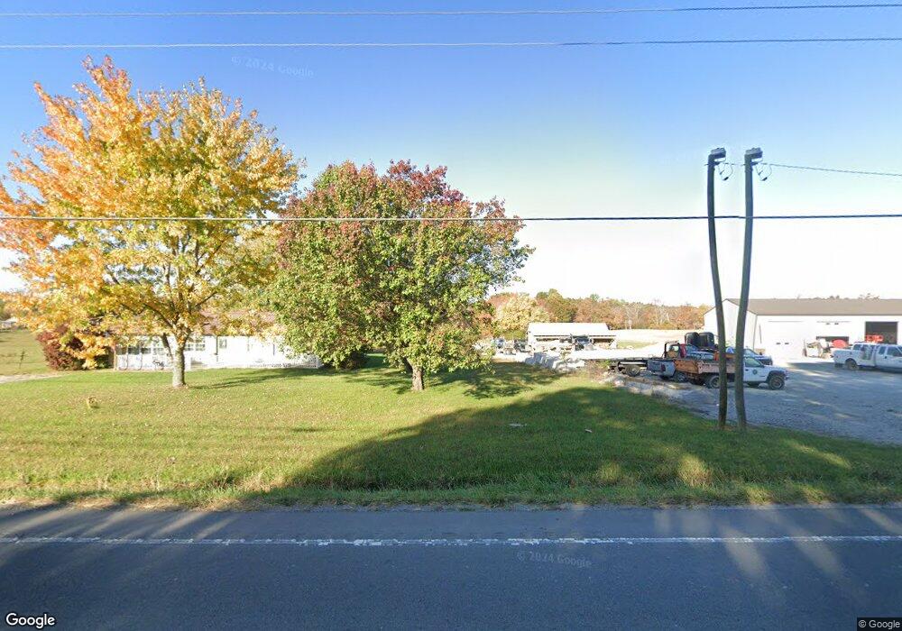
6012 S York Hwy Clarkrange, TN 38553
Estimated Value: $503,240 - $620,000
--
Bed
4
Baths
2,116
Sq Ft
$258/Sq Ft
Est. Value
About This Home
This home is located at 6012 S York Hwy, Clarkrange, TN 38553 and is currently estimated at $545,413, approximately $257 per square foot. 6012 S York Hwy is a home located in Fentress County.
Ownership History
Date
Name
Owned For
Owner Type
Purchase Details
Closed on
Jul 14, 2023
Sold by
Adams Todd
Bought by
Adams Tiffany L
Current Estimated Value
Purchase Details
Closed on
Jan 24, 2023
Sold by
Adams Andrea
Bought by
Adams Todd
Purchase Details
Closed on
Apr 4, 2008
Sold by
Adams Todd
Bought by
Carpenter Bruce A
Home Financials for this Owner
Home Financials are based on the most recent Mortgage that was taken out on this home.
Original Mortgage
$42,500
Interest Rate
6.03%
Mortgage Type
Farmers Home Administration
Purchase Details
Closed on
Aug 28, 2006
Sold by
Housley William W
Bought by
Adams Todd
Purchase Details
Closed on
Aug 7, 1996
Bought by
Housley William W and Housley Nora R
Create a Home Valuation Report for This Property
The Home Valuation Report is an in-depth analysis detailing your home's value as well as a comparison with similar homes in the area
Home Values in the Area
Average Home Value in this Area
Purchase History
| Date | Buyer | Sale Price | Title Company |
|---|---|---|---|
| Adams Tiffany L | -- | None Listed On Document | |
| Adams Tiffany L | -- | None Listed On Document | |
| Adams Tiffany L | -- | None Listed On Document | |
| Adams Todd | -- | -- | |
| Adams Todd | -- | None Listed On Document | |
| Carpenter Bruce A | $50,000 | -- | |
| Adams Todd | $80,000 | -- | |
| Housley William W | $40,000 | -- |
Source: Public Records
Mortgage History
| Date | Status | Borrower | Loan Amount |
|---|---|---|---|
| Previous Owner | Housley William W | $42,500 |
Source: Public Records
Tax History Compared to Growth
Tax History
| Year | Tax Paid | Tax Assessment Tax Assessment Total Assessment is a certain percentage of the fair market value that is determined by local assessors to be the total taxable value of land and additions on the property. | Land | Improvement |
|---|---|---|---|---|
| 2024 | $1,100 | $81,475 | $10,325 | $71,150 |
| 2023 | $1,100 | $81,475 | $10,325 | $71,150 |
| 2022 | $991 | $51,875 | $7,800 | $44,075 |
| 2021 | $991 | $51,875 | $7,800 | $44,075 |
| 2020 | $991 | $51,875 | $7,800 | $44,075 |
| 2019 | $991 | $51,875 | $7,800 | $44,075 |
| 2018 | $991 | $51,875 | $7,800 | $44,075 |
| 2017 | $966 | $48,675 | $6,900 | $41,775 |
| 2016 | $966 | $48,675 | $6,900 | $41,775 |
| 2015 | $966 | $48,685 | $0 | $0 |
| 2014 | $966 | $48,685 | $0 | $0 |
Source: Public Records
Map
Nearby Homes
- 6006 S York Hwy
- 145 Rhum Rd
- 6105 S York Hwy
- 1112 N Shady Lane Loop
- 6105 S South York Hwy
- 101 MacA Ridge Cir
- 106 MacA Ridge Cir
- 1357 Franklin Loop
- 5740 S York Hwy
- 545 Shelby Way
- 00 Fox Ridge Dr
- 1255 Franklin Loop
- 1011 Fox Ridge Dr
- 164 Green Acres
- 5651 S York Hwy
- 634 Robs Rd
- 338 Swallows Crossing
- 2019 Martha Washington Rd
- 6012 S York Hwy
- 127 S Shady Lane Loop
- 125 S Shady Lane Loop
- 134 S Shady Lane Loop
- 161 S Shady Lane Loop
- 124 S Shady Lane Loop
- n/a Shady Lane Loop
- 0 Shady Lane Loop
- 117 S Shady Lane Loop
- 126 S Shady Lane Loop
- 126 S Shady Lane Loop
- 132 Rhum Rd
- 140 Rhum Rd
- 1051 N Shady Lane Loop
- 1055 N Shady Lane Loop
- 1045 N Shady Lane Loop
- 1057 N Shady Lane Loop
- 1035 N Shady Lane Loop
- 116 S Shady Lane Loop
- 1065 N Shady Lane Loop