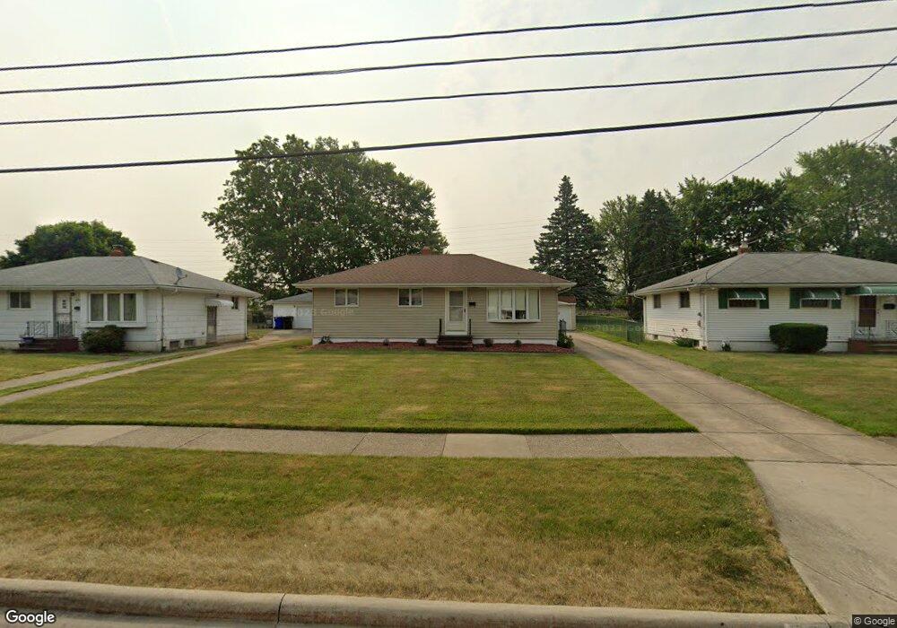
6393 Michael Dr Brookpark, OH 44142
Estimated Value: $175,000 - $239,000
3
Beds
1
Bath
988
Sq Ft
$207/Sq Ft
Est. Value
About This Home
This home is located at 6393 Michael Dr, Brookpark, OH 44142 and is currently estimated at $204,914, approximately $207 per square foot. 6393 Michael Dr is a home located in Cuyahoga County with nearby schools including Berea-Midpark Middle School, Berea-Midpark High School, and Huber Heights Preparatory Academy Parma Academy.
Ownership History
Date
Name
Owned For
Owner Type
Purchase Details
Closed on
Mar 1, 2011
Sold by
Drosos Angeliki and Drosos William
Bought by
Drosos George William and Drosos Perry William
Current Estimated Value
Purchase Details
Closed on
Nov 19, 1976
Sold by
Drosos Wm and Drosos Angiliki
Bought by
Drosos Ageliki
Purchase Details
Closed on
Jan 1, 1975
Bought by
Drosos Wm and Drosos Angiliki
Create a Home Valuation Report for This Property
The Home Valuation Report is an in-depth analysis detailing your home's value as well as a comparison with similar homes in the area
Home Values in the Area
Average Home Value in this Area
Purchase History
| Date | Buyer | Sale Price | Title Company |
|---|---|---|---|
| Drosos George William | -- | None Available | |
| Drosos Ageliki | -- | -- | |
| Drosos Wm | -- | -- |
Source: Public Records
Tax History
| Year | Tax Paid | Tax Assessment Tax Assessment Total Assessment is a certain percentage of the fair market value that is determined by local assessors to be the total taxable value of land and additions on the property. | Land | Improvement |
|---|---|---|---|---|
| 2024 | $2,523 | $59,815 | $12,880 | $46,935 |
| 2023 | $2,393 | $48,450 | $10,750 | $37,700 |
| 2022 | $2,401 | $48,440 | $10,750 | $37,700 |
| 2021 | $2,387 | $48,440 | $10,750 | $37,700 |
| 2020 | $2,030 | $38,470 | $8,540 | $29,930 |
| 2019 | $1,970 | $109,900 | $24,400 | $85,500 |
| 2018 | $1,819 | $38,470 | $8,540 | $29,930 |
| 2017 | $1,816 | $34,170 | $7,600 | $26,570 |
| 2016 | $1,801 | $34,170 | $7,600 | $26,570 |
| 2015 | $1,691 | $34,170 | $7,600 | $26,570 |
| 2014 | $1,691 | $34,170 | $7,600 | $26,570 |
Source: Public Records
Map
Nearby Homes
- 14398 Sheldon Rd
- 15424 Holland Rd
- 6131 Hardin Dr
- 6377 Ledgebrook Dr
- 6095 Stark Dr
- 6103 Westbrook Dr
- 14024 Donald Dr
- 15490 Oakshire Ct
- 13750 Belfair Dr
- 15496 Shaleside Ct
- 16001 Sylvia Dr
- 6014 Westbrook Dr
- 6759 Quarrystone Ln
- 6749 Rockridge Ct
- 13874 Heatherwood Dr
- 13602 Holland Rd
- 6815 Middlebrook Blvd
- 15532 Rademaker Dr
- 6871 Franke Rd
- 16117 Hocking Blvd
- 6389 Michael Dr
- 6397 Michael Dr
- 6385 Michael Dr
- 6401 Michael Dr
- 6381 Michael Dr
- 6405 Michael Dr
- 6392 Michael Dr
- 6396 Michael Dr
- 6388 Michael Dr
- 6375 Michael Dr
- 6409 Michael Dr
- 6400 Michael Dr
- 6404 Michael Dr
- 6298 Middlebrook Blvd
- 6378 Michael Dr
- 6369 Michael Dr
- 6417 Michael Dr
- 6408 Michael Dr
- 14973 Lindmont Dr
- 6372 Michael Dr
Your Personal Tour Guide
Ask me questions while you tour the home.