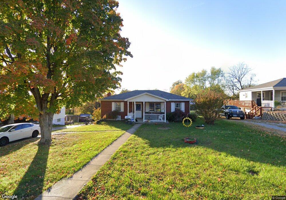
6465 Gary Dr Independence, KY 41051
Estimated Value: $192,139 - $250,000
3
Beds
1
Bath
1,176
Sq Ft
$185/Sq Ft
Est. Value
About This Home
This home is located at 6465 Gary Dr, Independence, KY 41051 and is currently estimated at $217,535, approximately $184 per square foot. 6465 Gary Dr is a home located in Kenton County with nearby schools including White's Tower Elementary School, Woodland Middle School, and Scott High School.
Ownership History
Date
Name
Owned For
Owner Type
Purchase Details
Closed on
Sep 21, 2015
Sold by
Burns Alma C
Bought by
Morgan Mark A and Morgan Mariah K
Current Estimated Value
Home Financials for this Owner
Home Financials are based on the most recent Mortgage that was taken out on this home.
Original Mortgage
$124,386
Outstanding Balance
$97,057
Interest Rate
3.88%
Mortgage Type
New Conventional
Estimated Equity
$120,478
Create a Home Valuation Report for This Property
The Home Valuation Report is an in-depth analysis detailing your home's value as well as a comparison with similar homes in the area
Home Values in the Area
Average Home Value in this Area
Purchase History
| Date | Buyer | Sale Price | Title Company |
|---|---|---|---|
| Morgan Mark A | $121,900 | Lawyers Title Cincinnati Inc | |
| Morgan Mark A | $121,900 | Lawyers Title Cincinnati Inc |
Source: Public Records
Mortgage History
| Date | Status | Borrower | Loan Amount |
|---|---|---|---|
| Open | Morgan Mark A | $124,386 |
Source: Public Records
Tax History
| Year | Tax Paid | Tax Assessment Tax Assessment Total Assessment is a certain percentage of the fair market value that is determined by local assessors to be the total taxable value of land and additions on the property. | Land | Improvement |
|---|---|---|---|---|
| 2025 | $1,869 | $160,700 | $35,000 | $125,700 |
| 2024 | $1,754 | $143,200 | $25,000 | $118,200 |
| 2023 | $1,807 | $143,200 | $25,000 | $118,200 |
| 2022 | $1,871 | $143,200 | $25,000 | $118,200 |
| 2021 | $1,899 | $143,200 | $25,000 | $118,200 |
| 2020 | $1,661 | $121,900 | $25,000 | $96,900 |
| 2019 | $1,665 | $121,900 | $25,000 | $96,900 |
| 2018 | $1,674 | $121,900 | $25,000 | $96,900 |
| 2017 | $1,629 | $121,900 | $25,000 | $96,900 |
| 2015 | $970 | $110,000 | $25,000 | $85,000 |
| 2014 | $968 | $110,000 | $25,000 | $85,000 |
Source: Public Records
Map
Nearby Homes
- 798 Cox Rd
- 765 Jimae Ave
- 5510 Fowler Creek Rd
- 4386 Alleen Ct
- 6500 Meadow Creek Dr
- 6681 Tullamore Ln Unit Lot 3
- 724 Bear Ct
- 6519 Meadow Creek Dr
- 6703 Tullamore Ln Unit Lot 7
- 4370 Oliver Rd
- 789 Stonybrook Ct
- 692 Sycamore Dr
- 798 Stonybrook Ct
- 772 Durrow Dr Unit Lot 26
- 6680 Frontier Rd
- 685 Skyway Dr
- 810 Durrow Dr Unit Lot 14
- 4448 Oliver Rd
- 718 Willow Green Dr
- 714 Willow Green Dr
Your Personal Tour Guide
Ask me questions while you tour the home.