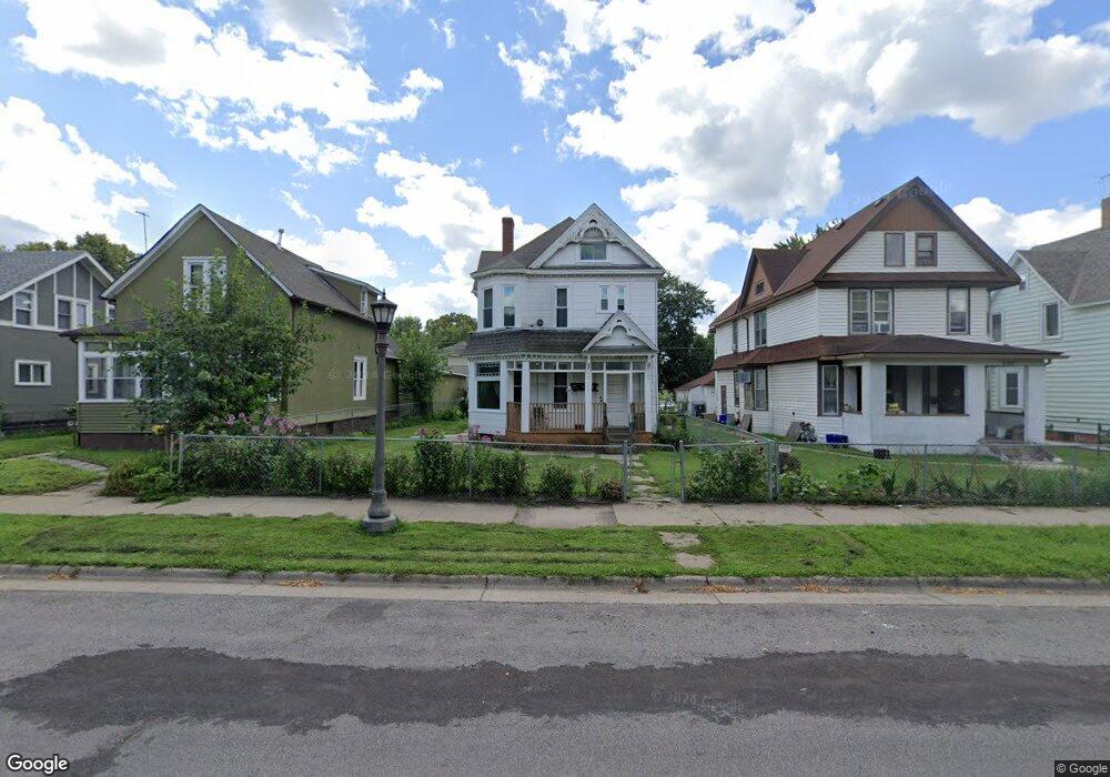
690 Thomas Ave Saint Paul, MN 55104
Frogtown NeighborhoodEstimated Value: $239,000 - $315,000
5
Beds
2
Baths
2,374
Sq Ft
$120/Sq Ft
Est. Value
About This Home
This home is located at 690 Thomas Ave, Saint Paul, MN 55104 and is currently estimated at $284,000, approximately $119 per square foot. 690 Thomas Ave is a home located in Ramsey County with nearby schools including Maxfield Magnet Elementary School, Hidden River Middle School, and Central Senior High School.
Ownership History
Date
Name
Owned For
Owner Type
Purchase Details
Closed on
Mar 15, 1991
Sold by
Moser Leroy C
Bought by
Rosenberg Craig A
Current Estimated Value
Purchase Details
Closed on
Mar 30, 1987
Sold by
Rosenberg Craig A
Bought by
Vang Toua
Create a Home Valuation Report for This Property
The Home Valuation Report is an in-depth analysis detailing your home's value as well as a comparison with similar homes in the area
Home Values in the Area
Average Home Value in this Area
Purchase History
| Date | Buyer | Sale Price | Title Company |
|---|---|---|---|
| Rosenberg Craig A | $44,000 | -- | |
| Vang Toua | $50,000 | -- |
Source: Public Records
Mortgage History
| Date | Status | Borrower | Loan Amount |
|---|---|---|---|
| Closed | Vang Toua | -- |
Source: Public Records
Tax History
| Year | Tax Paid | Tax Assessment Tax Assessment Total Assessment is a certain percentage of the fair market value that is determined by local assessors to be the total taxable value of land and additions on the property. | Land | Improvement |
|---|---|---|---|---|
| 2025 | $3,352 | $252,500 | $20,000 | $232,500 |
| 2023 | $3,352 | $216,300 | $16,000 | $200,300 |
| 2022 | $3,024 | $164,600 | $20,000 | $144,600 |
| 2021 | $2,780 | $142,300 | $20,000 | $122,300 |
| 2020 | $2,988 | $134,600 | $10,100 | $124,500 |
| 2019 | $2,838 | $130,300 | $10,100 | $120,200 |
| 2018 | $2,480 | $130,400 | $10,100 | $120,300 |
| 2017 | $1,354 | $108,400 | $11,200 | $97,200 |
| 2016 | $1,314 | $0 | $0 | $0 |
| 2015 | $1,424 | $82,900 | $11,200 | $71,700 |
| 2014 | $1,142 | $0 | $0 | $0 |
Source: Public Records
Map
Nearby Homes
- 610 Charles Ave
- 644 Dale St N
- 585 Sherburne Ave
- 634 Van Buren Ave
- 578 Sherburne Ave
- 787 Lafond Ave
- 751 Van Buren Ave
- 821 Edmund Ave
- 547 Blair Ave
- 511 Edmund Ave W
- 745 Fuller Ave
- 846 Sherburne Ave
- 694 Central Ave W
- 792 Fuller Ave
- 873 Sherburne Ave
- 817 Minnehaha Ave W
- 763 Saint Anthony Ave
- 848 Fuller Ave
- 936 Thomas Ave
- 401 Lafond Ave
Your Personal Tour Guide
Ask me questions while you tour the home.