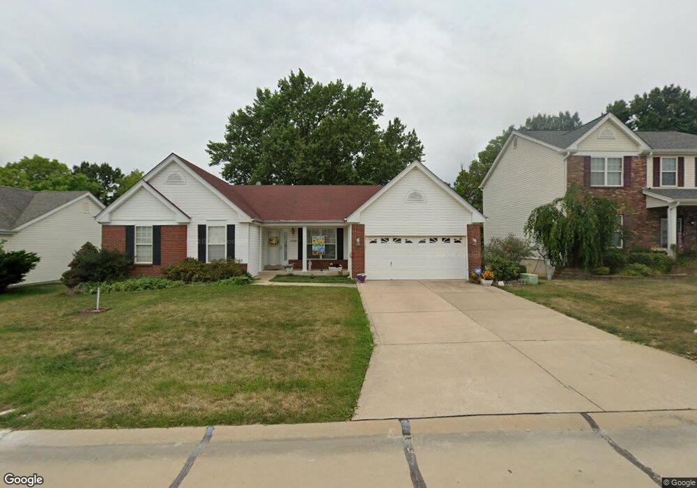
7602 Pierside Dr O Fallon, MO 63368
Estimated Value: $376,397 - $428,000
3
Beds
2
Baths
1,920
Sq Ft
$209/Sq Ft
Est. Value
About This Home
This home is located at 7602 Pierside Dr, O Fallon, MO 63368 and is currently estimated at $401,849, approximately $209 per square foot. 7602 Pierside Dr is a home located in St. Charles County with nearby schools including Crossroads Elementary School, Frontier Middle School, and Liberty High School.
Ownership History
Date
Name
Owned For
Owner Type
Purchase Details
Closed on
Apr 2, 2015
Sold by
Deciechi Joseph A and De Ciechi Doris E
Bought by
Revocable Living Trust Of Joseph A De Ci
Current Estimated Value
Purchase Details
Closed on
Jan 19, 1999
Sold by
The Jones Company Custom Homes Inc
Bought by
Deciechi Joseph A and Deciechi Doris E
Home Financials for this Owner
Home Financials are based on the most recent Mortgage that was taken out on this home.
Original Mortgage
$100,000
Outstanding Balance
$22,995
Interest Rate
6.66%
Estimated Equity
$378,854
Create a Home Valuation Report for This Property
The Home Valuation Report is an in-depth analysis detailing your home's value as well as a comparison with similar homes in the area
Home Values in the Area
Average Home Value in this Area
Purchase History
| Date | Buyer | Sale Price | Title Company |
|---|---|---|---|
| Revocable Living Trust Of Joseph A De Ci | -- | None Available | |
| Deciechi Joseph A | $165,745 | -- |
Source: Public Records
Mortgage History
| Date | Status | Borrower | Loan Amount |
|---|---|---|---|
| Open | Deciechi Joseph A | $100,000 |
Source: Public Records
Tax History
| Year | Tax Paid | Tax Assessment Tax Assessment Total Assessment is a certain percentage of the fair market value that is determined by local assessors to be the total taxable value of land and additions on the property. | Land | Improvement |
|---|---|---|---|---|
| 2025 | $4,595 | $68,431 | -- | -- |
| 2023 | $4,595 | $71,096 | $0 | $0 |
| 2022 | $3,660 | $52,723 | $0 | $0 |
| 2021 | $3,664 | $52,723 | $0 | $0 |
| 2020 | $3,147 | $43,375 | $0 | $0 |
| 2019 | $2,926 | $43,375 | $0 | $0 |
| 2018 | $2,821 | $39,849 | $0 | $0 |
| 2017 | $2,821 | $39,849 | $0 | $0 |
| 2016 | $2,989 | $40,466 | $0 | $0 |
| 2015 | $2,922 | $40,466 | $0 | $0 |
| 2014 | $2,561 | $37,994 | $0 | $0 |
Source: Public Records
Map
Nearby Homes
- 624 Hawk Run Dr
- 112 Wake Forest Place
- 131 Wake Forest Place
- 350 Falcon Hill Dr
- 769 Cypress Knoll Dr
- 2132 Bates Rd
- 702 Balcarra Dr
- 961 Promenade Ct
- 149 Bayhill Village Dr
- 161 Bayhill Village Dr
- 158 Bayhill Village Dr
- 139 Alta Mira Ct
- 344 Royal Dornoch Ct
- 1405 Kearney Dr
- 267 Fairway Green Dr
- 239 Kerry Downs Dr
- 7839 Town Square Ave
- 7817 Town Square Ave
- 276 Greenshire Ln
- 1723 Monet Dr
- 7592 Pierside Dr
- 7612 Pierside Dr
- 7582 Pierside Dr
- 7622 Pierside Dr
- 7637 Pierside Dr
- 631 Hawk Run Dr
- 7627 Pierside Dr
- 7647 Pierside Dr
- 633 Hawk Run Dr
- 629 Hawk Run Dr
- 7572 Pierside Dr
- 7617 Pierside Dr
- 635 Hawk Run Dr
- 635 Hawk Run Dr Unit 18A
- 627 Hawk Run Dr
- 7632 Pierside Dr
- 7607 Pierside Dr
- 2212 Harborside Dr
- 7562 Pierside Dr
- 7642 Pierside Dr
Your Personal Tour Guide
Ask me questions while you tour the home.