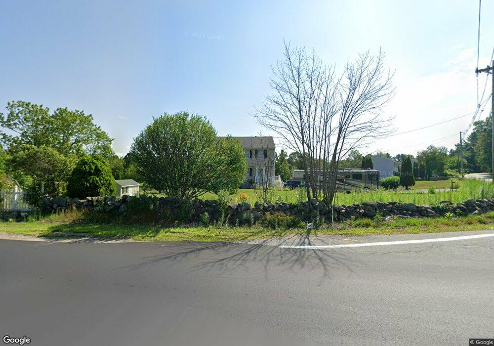
82 Burns Rd Pelham, NH 03076
Estimated Value: $495,000 - $602,814
3
Beds
2
Baths
1,500
Sq Ft
$365/Sq Ft
Est. Value
About This Home
This home is located at 82 Burns Rd, Pelham, NH 03076 and is currently estimated at $546,954, approximately $364 per square foot. 82 Burns Rd is a home with nearby schools including Pelham Elementary School, Pelham Memorial School, and Pelham High School.
Create a Home Valuation Report for This Property
The Home Valuation Report is an in-depth analysis detailing your home's value as well as a comparison with similar homes in the area
Home Values in the Area
Average Home Value in this Area
Tax History
| Year | Tax Paid | Tax Assessment Tax Assessment Total Assessment is a certain percentage of the fair market value that is determined by local assessors to be the total taxable value of land and additions on the property. | Land | Improvement |
|---|---|---|---|---|
| 2024 | $6,668 | $363,600 | $149,200 | $214,400 |
| 2023 | $6,614 | $363,600 | $149,200 | $214,400 |
| 2022 | $6,334 | $363,600 | $149,200 | $214,400 |
| 2021 | $5,803 | $363,600 | $149,200 | $214,400 |
| 2020 | $5,721 | $283,200 | $119,100 | $164,100 |
| 2019 | $5,494 | $283,200 | $119,100 | $164,100 |
| 2018 | $5,616 | $261,700 | $119,100 | $142,600 |
| 2017 | $5,613 | $261,700 | $119,100 | $142,600 |
| 2016 | $5,483 | $261,700 | $119,100 | $142,600 |
| 2015 | $5,466 | $235,000 | $113,300 | $121,700 |
| 2014 | $5,326 | $232,900 | $113,300 | $119,600 |
| 2013 | $5,326 | $232,900 | $113,300 | $119,600 |
Source: Public Records
Map
Nearby Homes
- 10 Oakland Ridge Rd Unit 11
- 6 David Dr
- 40 Westfall Rd
- 6 Wilshire Ln Unit 6
- 4 Wilshire Ln Unit 4
- 4 Wilshire Ln
- 94 Tanager Cir Unit 94
- 4 Haystack Cir
- 2 Aspen Dr
- 2 Aspen Dr Unit Lot 146-17
- 9 Cornstalk Ln
- 6 Hemlock Dr
- 43 & 53 5th St
- 1109 Mammoth Rd Unit A
- 1102 Mammoth Rd Unit A&B
- 26 Sagewood Dr Unit 26
- 11 Venus Way
- 7 Venus Way Unit 22
- 104 Long Pond Rd
- 17 Spare St
Your Personal Tour Guide
Ask me questions while you tour the home.