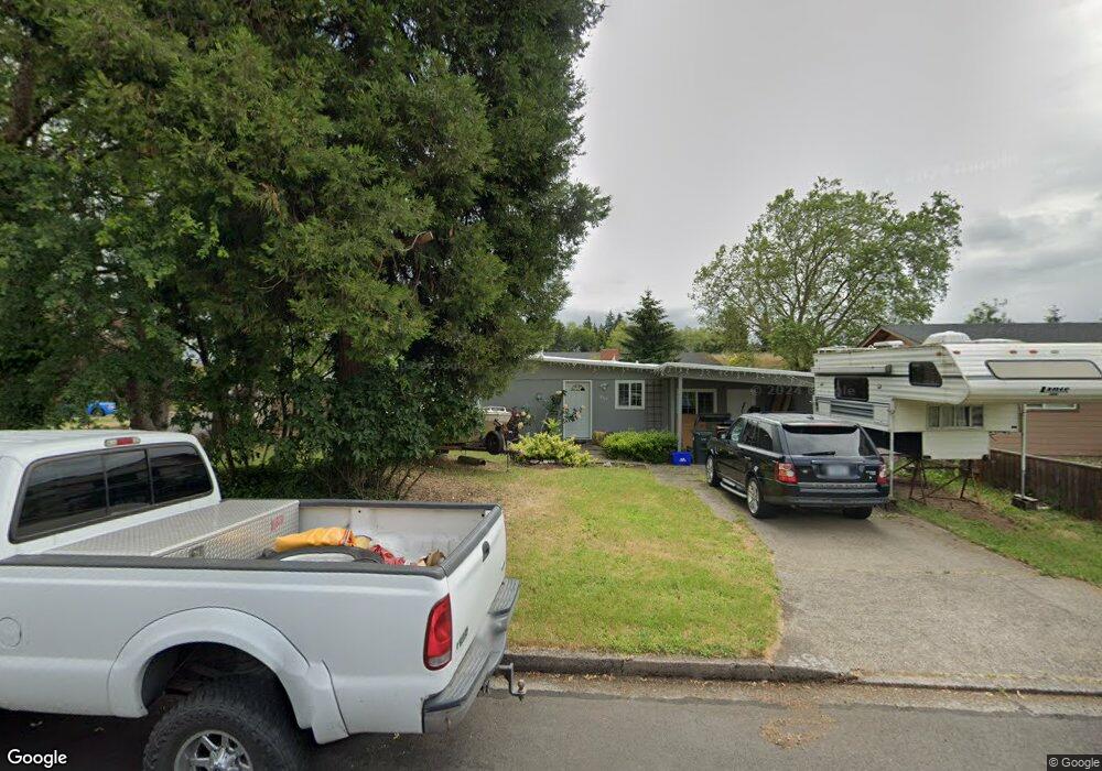
869 Laurelhurst Dr Eugene, OR 97402
Bethel NeighborhoodEstimated Value: $357,000 - $388,000
3
Beds
1
Bath
1,530
Sq Ft
$241/Sq Ft
Est. Value
About This Home
This home is located at 869 Laurelhurst Dr, Eugene, OR 97402 and is currently estimated at $369,202, approximately $241 per square foot. 869 Laurelhurst Dr is a home located in Lane County with nearby schools including Danebo Elementary School, Shasta Middle School, and Willamette High School.
Ownership History
Date
Name
Owned For
Owner Type
Purchase Details
Closed on
Nov 20, 1998
Sold by
Or Dept Of Veterans Affairs
Bought by
Woodruff Rick Vaughn and Woodruff Eva Maria
Current Estimated Value
Home Financials for this Owner
Home Financials are based on the most recent Mortgage that was taken out on this home.
Original Mortgage
$67,000
Outstanding Balance
$13,941
Interest Rate
6.6%
Estimated Equity
$355,261
Purchase Details
Closed on
Oct 30, 1998
Sold by
Woodruff Rick Vaughn
Bought by
Woodruff Eva Maria
Home Financials for this Owner
Home Financials are based on the most recent Mortgage that was taken out on this home.
Original Mortgage
$67,000
Outstanding Balance
$13,941
Interest Rate
6.6%
Estimated Equity
$355,261
Create a Home Valuation Report for This Property
The Home Valuation Report is an in-depth analysis detailing your home's value as well as a comparison with similar homes in the area
Home Values in the Area
Average Home Value in this Area
Purchase History
| Date | Buyer | Sale Price | Title Company |
|---|---|---|---|
| Woodruff Rick Vaughn | $25,000 | Cascade Title Co | |
| Woodruff Eva Maria | $22,182 | Cascade Title Co |
Source: Public Records
Mortgage History
| Date | Status | Borrower | Loan Amount |
|---|---|---|---|
| Open | Woodruff Eva Maria | $67,000 |
Source: Public Records
Tax History
| Year | Tax Paid | Tax Assessment Tax Assessment Total Assessment is a certain percentage of the fair market value that is determined by local assessors to be the total taxable value of land and additions on the property. | Land | Improvement |
|---|---|---|---|---|
| 2025 | $2,341 | $134,559 | -- | -- |
| 2024 | $2,282 | $130,640 | -- | -- |
| 2023 | $2,282 | $126,835 | $0 | $0 |
| 2022 | $2,124 | $123,141 | $0 | $0 |
| 2021 | $2,079 | $119,555 | $0 | $0 |
| 2020 | $2,018 | $116,073 | $0 | $0 |
| 2019 | $1,919 | $112,693 | $0 | $0 |
| 2018 | $1,866 | $106,224 | $0 | $0 |
| 2017 | $1,783 | $106,224 | $0 | $0 |
| 2016 | $1,737 | $103,130 | $0 | $0 |
| 2015 | $1,703 | $100,126 | $0 | $0 |
| 2014 | $1,677 | $97,210 | $0 | $0 |
Source: Public Records
Map
Nearby Homes
- 870 Laurelhurst Dr
- 4749 Royal Ave
- 1153 Elizabeth St
- 4548 Cambon St
- 1145 Ludgate Dr
- 4554 Woodsboro St
- 4941 Stagecoach Rd
- 4467 Fergus Ave
- 4280 Avalon St
- 1159 Throne Dr
- 1562 Philip St
- 4462 Fergus Ave
- 4165 Wood Ave
- 4055 Royal Ave Unit 93
- 4055 Royal Ave Unit 22
- 4055 Royal Ave Unit 150
- 4055 Royal Ave Unit 69
- 4055 Royal Ave Unit 87
- 4285 Fergus Ave
- 795 Red Cedar Ct
- 859 Laurelhurst Dr
- 10 Sheffield Ct
- 909 Laurelhurst Dr
- 841 Laurelhurst Dr
- 851 Laurelhurst Dr Unit 1
- 860 Laurelhurst Dr
- 880 Laurelhurst Dr
- 30 Sheffield Ct
- 919 Laurelhurst Dr
- 850 Laurelhurst Dr
- 878 Laurelhurst Dr
- 848 Laurelhurst Dr
- 876 Laurelhurst Dr
- 910 Laurelhurst Dr
- 856 Laurelhurst Dr
- 825 Laurelhurst Dr Unit 1
- 835 Laurelhurst Dr
- 866 Laurelhurst Dr
- 929 Laurelhurst Dr
- 874 Laurelhurst Dr
Your Personal Tour Guide
Ask me questions while you tour the home.