87 Singleton Rd Eastanollee, GA 30538
Estimated Value: $136,000 - $233,000
3
Beds
2
Baths
1,207
Sq Ft
$153/Sq Ft
Est. Value
About This Home
This home is located at 87 Singleton Rd, Eastanollee, GA 30538 and is currently estimated at $184,500, approximately $152 per square foot. 87 Singleton Rd is a home located in Stephens County with nearby schools including Stephens County High School.
Ownership History
Date
Name
Owned For
Owner Type
Purchase Details
Closed on
Jan 25, 2006
Sold by
Stephens Federal Bank
Bought by
Bohannon Johnny Lee
Current Estimated Value
Home Financials for this Owner
Home Financials are based on the most recent Mortgage that was taken out on this home.
Original Mortgage
$55,250
Interest Rate
6.14%
Mortgage Type
New Conventional
Purchase Details
Closed on
Jul 31, 2003
Bought by
<Buyer Info Not Present>
Purchase Details
Closed on
Jul 1, 2003
Bought by
<Buyer Info Not Present>
Purchase Details
Closed on
Jul 1, 1991
Bought by
<Buyer Info Not Present>
Create a Home Valuation Report for This Property
The Home Valuation Report is an in-depth analysis detailing your home's value as well as a comparison with similar homes in the area
Home Values in the Area
Average Home Value in this Area
Purchase History
| Date | Buyer | Sale Price | Title Company |
|---|---|---|---|
| Bohannon Johnny Lee | $65,000 | -- | |
| <Buyer Info Not Present> | $45,000 | -- | |
| <Buyer Info Not Present> | $73,100 | -- | |
| <Buyer Info Not Present> | $35,000 | -- |
Source: Public Records
Mortgage History
| Date | Status | Borrower | Loan Amount |
|---|---|---|---|
| Closed | Bohannon Johnny Lee | $55,250 |
Source: Public Records
Tax History Compared to Growth
Tax History
| Year | Tax Paid | Tax Assessment Tax Assessment Total Assessment is a certain percentage of the fair market value that is determined by local assessors to be the total taxable value of land and additions on the property. | Land | Improvement |
|---|---|---|---|---|
| 2024 | $125 | $40,121 | $5,090 | $35,031 |
| 2023 | $52 | $37,687 | $5,090 | $32,597 |
| 2022 | $14 | $35,913 | $5,090 | $30,823 |
| 2021 | $1,059 | $33,877 | $5,090 | $28,787 |
| 2020 | $1,069 | $33,844 | $5,090 | $28,754 |
| 2019 | $1,066 | $33,602 | $4,848 | $28,754 |
| 2018 | $0 | $33,602 | $4,848 | $28,754 |
| 2017 | $0 | $33,602 | $4,848 | $28,754 |
| 2016 | -- | $33,601 | $4,848 | $28,753 |
| 2015 | -- | $32,500 | $4,848 | $27,652 |
| 2014 | -- | $31,088 | $4,848 | $26,240 |
| 2013 | -- | $32,300 | $6,060 | $26,240 |
Source: Public Records
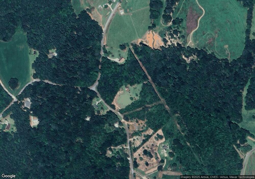
Map
Nearby Homes
- 1520 Defoor Rd
- 290 Indian Dr
- 197 Howard Rd
- 3.35 ACRES Keener Rd
- 17 Pinetree Rd
- 2657 Wolfpit Rd
- 7 Jottings Dr
- 219 Eastanollee Rd
- 232 Oak Way Dr
- 303 Oak Way Dr
- 160 Oak Way Dr
- 271 Oak Way Dr
- 672 Crawford Cir
- 56 Crawford Manor Dr
- 883 Dortch Rd
- 825 Dortch Rd
- 771 Dortch Rd
- 729 Dortch Rd
- 683 Dortch Rd
- 653 Dortch Rd