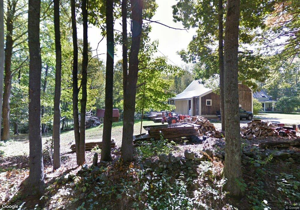
91 High Rd Lee, NH 03861
Estimated Value: $684,000 - $751,000
4
Beds
3
Baths
2,923
Sq Ft
$248/Sq Ft
Est. Value
About This Home
This home is located at 91 High Rd, Lee, NH 03861 and is currently estimated at $724,634, approximately $247 per square foot. 91 High Rd is a home located in Strafford County with nearby schools including Mast Way School, Oyster River Middle School, and Oyster River High School.
Ownership History
Date
Name
Owned For
Owner Type
Purchase Details
Closed on
Nov 6, 2025
Sold by
Wilson Andrew W and Wilson Samantha J
Bought by
Wilson Ft and Wilson
Current Estimated Value
Purchase Details
Closed on
Aug 11, 2020
Sold by
Wilson Andrew W
Bought by
Wilson Andrew W and Wilson Samantha J
Purchase Details
Closed on
Sep 20, 2012
Sold by
Wilson Kirsten B
Bought by
Wilson Andrew W
Home Financials for this Owner
Home Financials are based on the most recent Mortgage that was taken out on this home.
Original Mortgage
$267,000
Interest Rate
3.59%
Mortgage Type
Stand Alone Refi Refinance Of Original Loan
Create a Home Valuation Report for This Property
The Home Valuation Report is an in-depth analysis detailing your home's value as well as a comparison with similar homes in the area
Home Values in the Area
Average Home Value in this Area
Purchase History
| Date | Buyer | Sale Price | Title Company |
|---|---|---|---|
| Wilson Ft | -- | -- | |
| Wilson Andrew W | -- | None Available | |
| Wilson Andrew W | -- | -- | |
| Wilson Andrew W | -- | -- |
Source: Public Records
Mortgage History
| Date | Status | Borrower | Loan Amount |
|---|---|---|---|
| Previous Owner | Wilson Andrew W | $267,000 |
Source: Public Records
Tax History Compared to Growth
Tax History
| Year | Tax Paid | Tax Assessment Tax Assessment Total Assessment is a certain percentage of the fair market value that is determined by local assessors to be the total taxable value of land and additions on the property. | Land | Improvement |
|---|---|---|---|---|
| 2024 | $13,326 | $517,100 | $169,000 | $348,100 |
| 2023 | $12,219 | $517,100 | $169,000 | $348,100 |
| 2022 | $11,231 | $517,100 | $169,000 | $348,100 |
| 2021 | $11,257 | $517,100 | $169,000 | $348,100 |
| 2020 | $11,275 | $353,900 | $84,500 | $269,400 |
| 2019 | $11,144 | $353,900 | $84,500 | $269,400 |
| 2018 | $10,819 | $353,900 | $84,500 | $269,400 |
| 2017 | $10,596 | $353,900 | $84,500 | $269,400 |
| 2016 | $10,352 | $353,900 | $84,500 | $269,400 |
| 2015 | $10,135 | $346,500 | $79,700 | $266,800 |
| 2014 | $10,291 | $346,500 | $79,700 | $266,800 |
| 2012 | $10,374 | $346,500 | $79,700 | $266,800 |
Source: Public Records
Map
Nearby Homes
- 384 N River Rd
- 288 N River Rd
- 20 Towle Rd
- 5 Hedding Rd
- 113 N River Rd Unit Lot 2
- 373 Calef Hwy
- 60 Ledge Farm Rd
- 23 Old Stagecoach Rd Unit 15
- 153 Coffin Rd Unit 32
- 156 Hedding Rd
- 22 Dorothy Dr
- 27 Mulberry Ln
- 21A Highland Ave Unit 21A
- 12 Gerrish Dr
- 464 Wadleigh Falls Rd
- 1 Mast Rd
- 5A Connor Ct Unit 5A
- 290 Calef Hwy Unit A6
- 0 Rear Wadleigh Falls Rd Unit 9
- 100 Megans Way