948 Heathrow Ln Naperville, IL 60540
West Wind NeighborhoodEstimated Value: $403,000 - $440,000
2
Beds
3
Baths
1,632
Sq Ft
$260/Sq Ft
Est. Value
About This Home
This home is located at 948 Heathrow Ln, Naperville, IL 60540 and is currently estimated at $423,626, approximately $259 per square foot. 948 Heathrow Ln is a home located in DuPage County with nearby schools including May Watts Elementary School, Charlestown Middle School, and Thayer J. Hill Middle School.
Create a Home Valuation Report for This Property
The Home Valuation Report is an in-depth analysis detailing your home's value as well as a comparison with similar homes in the area
Home Values in the Area
Average Home Value in this Area
Tax History Compared to Growth
Tax History
| Year | Tax Paid | Tax Assessment Tax Assessment Total Assessment is a certain percentage of the fair market value that is determined by local assessors to be the total taxable value of land and additions on the property. | Land | Improvement |
|---|---|---|---|---|
| 2024 | -- | $129,541 | $33,665 | $95,876 |
| 2023 | $6,713 | $116,400 | $30,250 | $86,150 |
| 2022 | $7,366 | $113,780 | $29,330 | $84,450 |
| 2021 | $7,130 | $109,720 | $28,280 | $81,440 |
| 2020 | $7,120 | $109,720 | $28,280 | $81,440 |
| 2019 | $6,834 | $104,360 | $26,900 | $77,460 |
| 2018 | $5,824 | $88,270 | $22,390 | $65,880 |
| 2017 | $5,658 | $85,280 | $21,630 | $63,650 |
| 2016 | $5,548 | $81,840 | $20,760 | $61,080 |
| 2015 | $5,486 | $77,700 | $19,710 | $57,990 |
| 2014 | $5,316 | $73,060 | $18,380 | $54,680 |
| 2013 | $5,305 | $73,570 | $18,510 | $55,060 |
Source: Public Records
Map
Nearby Homes
- 1114 Tennyson Ln
- 1262 Rhodes Ln Unit 2701
- 1208 Tennyson Ln
- 1259 Natchez Trace Cir
- 1033 Emerald Dr
- 7S410 Arbor Dr
- 856 Cardiff Rd
- 316 Hemlock Ln
- 225 Elmwood Dr
- 845 Tulip Ln
- 132 Robin Hill Dr
- 425 W Gartner Rd
- 1217 Evergreen Ave
- 480 Village Green Rd
- 479 River Bend Rd Unit 111
- 319 Claremont Ct
- 417 River Bluff Cir
- 891 Lowell Ln
- 511 Aurora Ave Unit 108
- 27W264 80th St
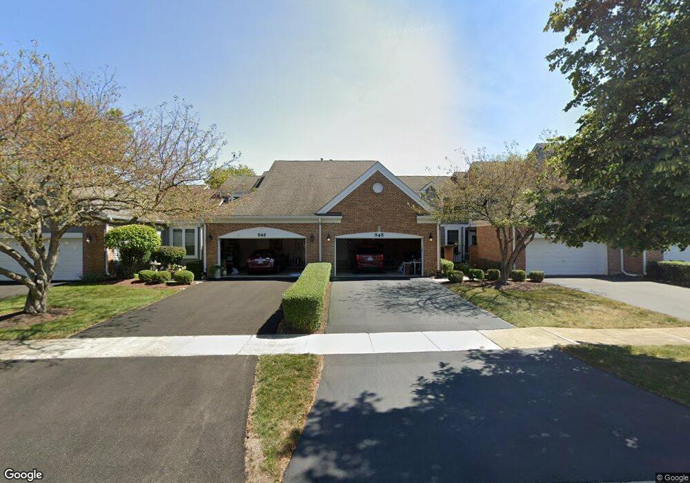
- 946 Heathrow Ln
- 950 Heathrow Ln
- 952 Heathrow Ln
- 944 Heathrow Ln
- 942 Heathrow Ln
- 1121 Tennyson Ln
- 1123 Tennyson Ln
- 1119 Tennyson Ln
- 958 Heathrow Ln
- 1117 Tennyson Ln
- 940 Heathrow Ln
- 1125 Tennyson Ln
- 1115 Tennyson Ln
- 938 Heathrow Ln
- 947 Heathrow Ln
- 945 Heathrow Ln
- 1113 Tennyson Ln
- 962 Heathrow Ln
- 943 Heathrow Ln
- 949 Heathrow Ln