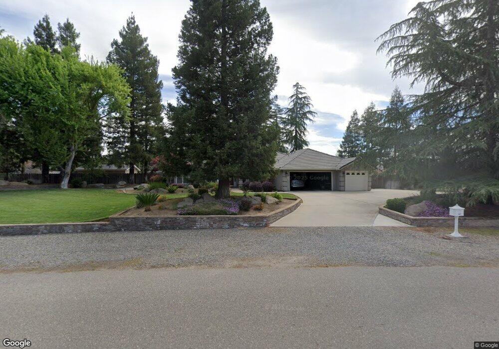
1876 Station Ave Atwater, CA 95301
McSwain NeighborhoodEstimated Value: $753,000 - $810,000
3
Beds
3
Baths
2,332
Sq Ft
$335/Sq Ft
Est. Value
About This Home
This home is located at 1876 Station Ave, Atwater, CA 95301 and is currently estimated at $780,358, approximately $334 per square foot. 1876 Station Ave is a home located in Merced County with nearby schools including McSwain Elementary School, Buhach Colony High School, and Landmark Christian School.
Ownership History
Date
Name
Owned For
Owner Type
Purchase Details
Closed on
Dec 18, 2006
Sold by
Wahlberg Mark and Wahlberg Rebecca
Bought by
Wahlberg Mark and Wahlberg Rebecca
Current Estimated Value
Purchase Details
Closed on
Sep 16, 2003
Sold by
Nichols Daniel A and Nichols Barbara L
Bought by
Wahlberg Mark and Wahlberg Rebecca J
Home Financials for this Owner
Home Financials are based on the most recent Mortgage that was taken out on this home.
Original Mortgage
$345,000
Outstanding Balance
$158,944
Interest Rate
6.14%
Mortgage Type
Stand Alone First
Estimated Equity
$621,414
Purchase Details
Closed on
Sep 23, 2002
Sold by
Rainwater Michael L and Rainwater Shirley J
Bought by
Nichols Daniel A and Nichols Barbara L
Home Financials for this Owner
Home Financials are based on the most recent Mortgage that was taken out on this home.
Original Mortgage
$297,500
Interest Rate
7.99%
Create a Home Valuation Report for This Property
The Home Valuation Report is an in-depth analysis detailing your home's value as well as a comparison with similar homes in the area
Home Values in the Area
Average Home Value in this Area
Purchase History
| Date | Buyer | Sale Price | Title Company |
|---|---|---|---|
| Wahlberg Mark | -- | None Available | |
| Wahlberg Mark | $475,000 | Transcounty Title Company | |
| Nichols Daniel A | $425,000 | Transcounty Title Company |
Source: Public Records
Mortgage History
| Date | Status | Borrower | Loan Amount |
|---|---|---|---|
| Open | Wahlberg Mark | $345,000 | |
| Previous Owner | Nichols Daniel A | $297,500 |
Source: Public Records
Tax History Compared to Growth
Tax History
| Year | Tax Paid | Tax Assessment Tax Assessment Total Assessment is a certain percentage of the fair market value that is determined by local assessors to be the total taxable value of land and additions on the property. | Land | Improvement |
|---|---|---|---|---|
| 2025 | $6,913 | $675,339 | $142,172 | $533,167 |
| 2024 | $6,913 | $662,098 | $139,385 | $522,713 |
| 2023 | $6,778 | $649,116 | $136,652 | $512,464 |
| 2022 | $6,693 | $636,389 | $133,973 | $502,416 |
| 2021 | $6,644 | $623,912 | $131,347 | $492,565 |
| 2020 | $5,866 | $549,500 | $125,000 | $424,500 |
| 2019 | $5,397 | $505,000 | $125,000 | $380,000 |
Source: Public Records
Map
Nearby Homes
- 1876 Station Ave
- 5388 Sherwood Ct
- 5388 Sherwood Ct
- 1920 Station Ave
- 5468 Michelle Ct
- 5423 Sherwood Ct
- 5423 Sherwood Ct
- 5389 Essex Dr
- 5391 Sherwood Ct
- 5475 Michelle Ct
- 5475 Michelle Ct
- 5356 Sherwood Ct
- 5500 Michelle Ct
- 1917 Station Ave
- 5357 Essex Dr
- 5359 Sherwood Ct
- 5418 Landram Ave
- 5416 Essex Dr
- 1945 Station Ave
- 1972 Station Ave