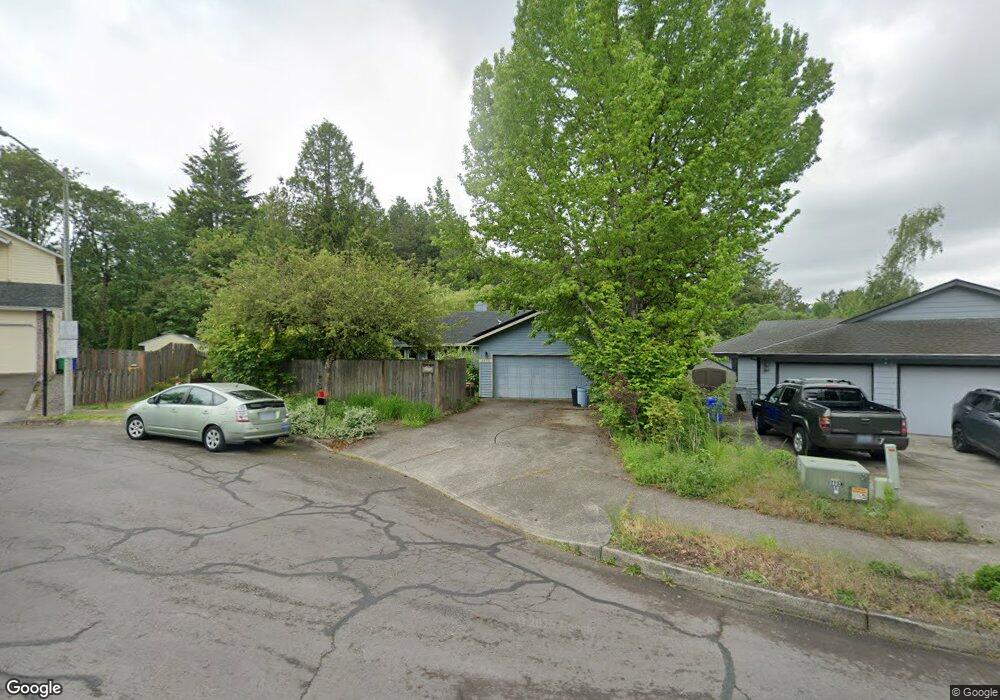
1975 SW Myers Place Gresham, OR 97080
Southwest Gresham NeighborhoodEstimated Value: $606,549 - $889,000
3
Beds
3
Baths
1,585
Sq Ft
$435/Sq Ft
Est. Value
About This Home
This home is located at 1975 SW Myers Place, Gresham, OR 97080 and is currently estimated at $688,887, approximately $434 per square foot. 1975 SW Myers Place is a home located in Multnomah County with nearby schools including Hollydale Elementary School, Dexter McCarty Middle School, and Gresham High School.
Ownership History
Date
Name
Owned For
Owner Type
Purchase Details
Closed on
Jul 10, 2025
Sold by
Stroh Susan M and Bowden Thomas R
Bought by
Susan M Stroh Trust and Stroh
Current Estimated Value
Purchase Details
Closed on
Jun 27, 1996
Sold by
Flury Phyllis E
Bought by
Bowden Thomas R and Stroh Susan M
Home Financials for this Owner
Home Financials are based on the most recent Mortgage that was taken out on this home.
Original Mortgage
$120,000
Interest Rate
8.09%
Mortgage Type
Purchase Money Mortgage
Create a Home Valuation Report for This Property
The Home Valuation Report is an in-depth analysis detailing your home's value as well as a comparison with similar homes in the area
Home Values in the Area
Average Home Value in this Area
Purchase History
| Date | Buyer | Sale Price | Title Company |
|---|---|---|---|
| Susan M Stroh Trust | -- | None Listed On Document | |
| Bowden Thomas R | $235,000 | Fidelity National Title Co |
Source: Public Records
Mortgage History
| Date | Status | Borrower | Loan Amount |
|---|---|---|---|
| Previous Owner | Bowden Thomas R | $120,000 |
Source: Public Records
Tax History Compared to Growth
Tax History
| Year | Tax Paid | Tax Assessment Tax Assessment Total Assessment is a certain percentage of the fair market value that is determined by local assessors to be the total taxable value of land and additions on the property. | Land | Improvement |
|---|---|---|---|---|
| 2025 | $7,303 | $358,880 | -- | -- |
| 2024 | $6,991 | $348,430 | -- | -- |
| 2023 | $6,991 | $338,290 | $0 | $0 |
| 2022 | $6,191 | $328,440 | $0 | $0 |
| 2021 | $6,035 | $318,880 | $0 | $0 |
| 2020 | $5,679 | $309,600 | $0 | $0 |
| 2019 | $5,530 | $300,590 | $0 | $0 |
| 2018 | $5,273 | $291,840 | $0 | $0 |
| 2017 | $5,059 | $283,340 | $0 | $0 |
| 2016 | $4,460 | $275,090 | $0 | $0 |
| 2015 | $4,364 | $267,080 | $0 | $0 |
| 2014 | $4,258 | $259,310 | $0 | $0 |
Source: Public Records
Map
Nearby Homes
- 1963 SW Myers Place
- 3079 SW 22nd St
- 3250 SW Binford Lake Pkwy
- 1505 SW Battaglia Ave
- 3198 SW 16th Cir
- 2188 SW Binford Lake Pkwy
- 3308 SW Binford Lake Pkwy
- 2307 SW 24th St
- 3239 SW 26th St
- 1820 SW Heiney Rd
- 1743 SW Pleasant View Dr
- 1897 SW Binford Lake Pkwy
- 1808 SW Hartley Ave
- 1845 SW 18th Ct
- 2981 SW 31st St
- 2607 SW Pleasant View Dr
- 3802 SW 14th Dr
- 0 W Powell Loop
- 2257 SW Phyllis Place
- 2271 SW Phyllis Place
- 1987 SW Myers Place
- 1951 SW Myers Place
- 1994 SW Myers Place
- 1972 SW Myers Place
- 1948 SW Myers Place
- 1939 SW Myers Place
- 1995 SW Mawrcrest Ct
- 1960 SW Myers Place
- 1985 SW Mawrcrest Ct
- 1926 SW Myers Place
- 1965 SW Mawrcrest Ct
- 1935 SW Mawrcrest Ct
- 1980 SW Lake Place
- 2005 SW Mawrcrest Ct
- 1927 SW Myers Place
- 1915 SW Mawrcrest Ct
- 1999 SW Lake Place
- 2642 SW Binford Lake Pkwy
- 2688 SW Binford Lake Pkwy
- 1905 SW Mawrcrest Ct