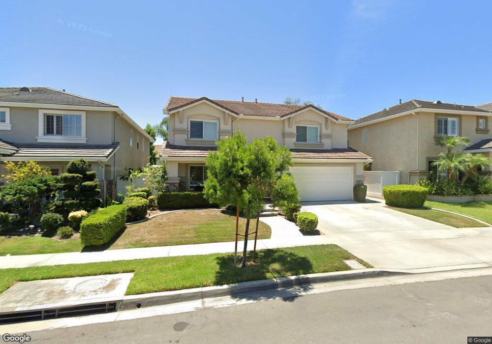
20 Calais Irvine, CA 92602
Lower Peters Canyon NeighborhoodEstimated Value: $2,069,855 - $2,169,000
5
Beds
3
Baths
2,876
Sq Ft
$739/Sq Ft
Est. Value
About This Home
This home is located at 20 Calais, Irvine, CA 92602 and is currently estimated at $2,125,464, approximately $739 per square foot. 20 Calais is a home located in Orange County with nearby schools including Myford Elementary School, Pioneer Middle School, and Arnold O. Beckman High School.
Ownership History
Date
Name
Owned For
Owner Type
Purchase Details
Closed on
Jan 19, 2023
Sold by
Yamauchi Rick Y and Yamauchi Starla C
Bought by
2021 Yamauchi Family Revocable Trust and Yamauchi
Current Estimated Value
Purchase Details
Closed on
Nov 1, 2001
Sold by
Fieldstone Communities Inc
Bought by
Yamauchi Rick Y and Yamauchi Starla C
Home Financials for this Owner
Home Financials are based on the most recent Mortgage that was taken out on this home.
Original Mortgage
$347,350
Interest Rate
6.63%
Create a Home Valuation Report for This Property
The Home Valuation Report is an in-depth analysis detailing your home's value as well as a comparison with similar homes in the area
Home Values in the Area
Average Home Value in this Area
Purchase History
We collect this data history from publicly available records. To have your information removed, we recommend requesting removal directly through your county’s website.
| Date | Buyer | Sale Price | Title Company |
|---|---|---|---|
| 2021 Yamauchi Family Revocable Trust | -- | None Listed On Document | |
| Yamauchi Rick Y | $527,500 | First American Title Co |
Source: Public Records
Mortgage History
We collect this data history from publicly available records. To have your information removed, we recommend requesting removal directly through your county’s website.
| Date | Status | Borrower | Loan Amount |
|---|---|---|---|
| Previous Owner | Yamauchi Rick Y | $347,350 |
Source: Public Records
Tax History
| Year | Tax Paid | Tax Assessment Tax Assessment Total Assessment is a certain percentage of the fair market value that is determined by local assessors to be the total taxable value of land and additions on the property. | Land | Improvement |
|---|---|---|---|---|
| 2025 | $9,312 | $778,971 | $384,484 | $394,487 |
| 2024 | $9,312 | $763,698 | $376,946 | $386,752 |
| 2023 | $9,176 | $748,724 | $369,555 | $379,169 |
| 2022 | $8,999 | $734,044 | $362,309 | $371,735 |
| 2021 | $9,060 | $719,651 | $355,204 | $364,447 |
| 2020 | $9,442 | $712,272 | $351,561 | $360,711 |
| 2019 | $9,215 | $698,306 | $344,667 | $353,639 |
| 2018 | $9,012 | $684,614 | $337,909 | $346,705 |
| 2017 | $8,780 | $671,191 | $331,284 | $339,907 |
| 2016 | $8,633 | $658,031 | $324,788 | $333,243 |
| 2015 | $8,591 | $648,147 | $319,909 | $328,238 |
| 2014 | $8,462 | $635,451 | $313,642 | $321,809 |
Source: Public Records
Map
Nearby Homes
- 12721 Trent Jones Ln
- 2891 Carner Dr Unit 38
- 2960 Champion Way Unit 2301
- 2960 Champion Way Unit 1304
- 29 Roseville
- 2 Tradition Place
- 30 Burlingame
- 1001 Terra Bella
- 26 Burlingame
- 22 Apple Valley
- 9 Bonsall Unit 61
- 209 Briar Ln
- 149 Lockford
- 143 Lockford
- 33 Winterfield Rd
- 2531 Aquasanta
- 7 Carriage Dr
- 147 Lockford Unit 56
- 40 Paso Robles
- 191 Lockford
Your Personal Tour Guide
Ask me questions while you tour the home.