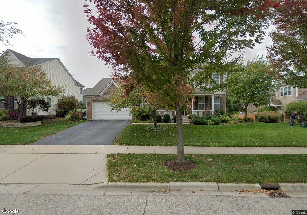
3012 Wayland Ave Elgin, IL 60124
Providence NeighborhoodEstimated Value: $527,061 - $538,000
4
Beds
3
Baths
3,001
Sq Ft
$177/Sq Ft
Est. Value
About This Home
This home is located at 3012 Wayland Ave, Elgin, IL 60124 and is currently estimated at $532,015, approximately $177 per square foot. 3012 Wayland Ave is a home located in Kane County with nearby schools including Country Trails Elementary School, Prairie Knolls Middle School, and Central Middle School.
Ownership History
Date
Name
Owned For
Owner Type
Purchase Details
Closed on
Mar 31, 2005
Sold by
Pinnacle Corp
Bought by
Costales Raymond S and Costales Glenda G
Current Estimated Value
Home Financials for this Owner
Home Financials are based on the most recent Mortgage that was taken out on this home.
Original Mortgage
$341,648
Outstanding Balance
$175,503
Interest Rate
5.71%
Mortgage Type
Purchase Money Mortgage
Estimated Equity
$356,512
Create a Home Valuation Report for This Property
The Home Valuation Report is an in-depth analysis detailing your home's value as well as a comparison with similar homes in the area
Home Values in the Area
Average Home Value in this Area
Purchase History
| Date | Buyer | Sale Price | Title Company |
|---|---|---|---|
| Costales Raymond S | $427,500 | Chicago Title Insurance Comp |
Source: Public Records
Mortgage History
| Date | Status | Borrower | Loan Amount |
|---|---|---|---|
| Open | Costales Raymond S | $341,648 |
Source: Public Records
Tax History Compared to Growth
Tax History
| Year | Tax Paid | Tax Assessment Tax Assessment Total Assessment is a certain percentage of the fair market value that is determined by local assessors to be the total taxable value of land and additions on the property. | Land | Improvement |
|---|---|---|---|---|
| 2024 | $12,311 | $148,191 | $40,572 | $107,619 |
| 2023 | $11,807 | $133,880 | $36,654 | $97,226 |
| 2022 | $11,120 | $122,075 | $33,422 | $88,653 |
| 2021 | $10,756 | $114,131 | $31,247 | $82,884 |
| 2020 | $10,445 | $108,956 | $29,830 | $79,126 |
| 2019 | $10,130 | $103,787 | $28,415 | $75,372 |
| 2018 | $10,290 | $104,240 | $26,769 | $77,471 |
| 2017 | $9,907 | $98,544 | $25,306 | $73,238 |
| 2016 | $9,876 | $91,422 | $23,477 | $67,945 |
| 2015 | -- | $83,797 | $21,519 | $62,278 |
| 2014 | -- | $73,725 | $21,253 | $52,472 |
| 2013 | -- | $75,670 | $21,814 | $53,856 |
Source: Public Records
Map
Nearby Homes
- 11N060 Johnstown Rd
- 2705 Colonial Dr
- 234 Longview Dr
- 3619 Daisy Ln
- 279 Garden Dr
- 3410 Cameron Dr Unit 34
- 1855 Diamond Dr
- 40 Acres Randall Rd
- 3311 Lafayette St
- 379 Fountain Ave
- 342 Snow Drop Ln
- COVENTRY Plan at West Point Gardens
- EMERSON Plan at West Point Gardens
- HENLEY Plan at West Point Gardens
- FAIRFIELD Plan at West Point Gardens
- 003 South St
- 311 Snowdrop Ln
- 264 Snowdrop Ln
- 313 Snowdrop Ln
- 315 Snowdrop Ln
- 3010 Wayland Ave
- 3014 Wayland Ave
- 3013 Cranston Ave
- 3011 Cranston Ave
- 3015 Cranston Ave
- 3034 Settlers Pkwy
- 3008 Wayland Ave Unit 1
- 3011 Wayland Ave
- 3009 Cranston Ave
- 3007 Cranston Ave
- 3009 Wayland Ave
- 3043 Settlers Pkwy
- 3017 Cranston Ave
- 3006 Wayland Ave Unit 1
- 3030 Settlers Pkwy
- 3018 Cranston Ave
- 3028 Settlers Pkwy
- 3016 Cranston Ave
- 3005 Cranston Ave
- 3020 Cranston Ave