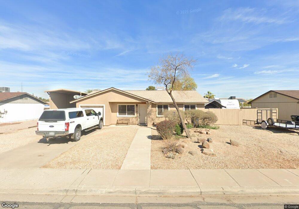
3320 W Behrend Dr Phoenix, AZ 85027
Deer Valley NeighborhoodEstimated Value: $289,044 - $358,000
3
Beds
2
Baths
1,085
Sq Ft
$311/Sq Ft
Est. Value
About This Home
This home is located at 3320 W Behrend Dr, Phoenix, AZ 85027 and is currently estimated at $337,511, approximately $311 per square foot. 3320 W Behrend Dr is a home located in Maricopa County with nearby schools including Park Meadows Elementary School, Barry Goldwater High School, and Deer Valley Middle School.
Ownership History
Date
Name
Owned For
Owner Type
Purchase Details
Closed on
Sep 17, 2004
Sold by
Stover Evan R
Bought by
Ferguson James S
Current Estimated Value
Home Financials for this Owner
Home Financials are based on the most recent Mortgage that was taken out on this home.
Original Mortgage
$115,430
Outstanding Balance
$56,881
Interest Rate
5.8%
Mortgage Type
FHA
Estimated Equity
$280,630
Purchase Details
Closed on
Nov 14, 2001
Sold by
Stover Evan R
Bought by
Stover Evan R and 2001 Evan R Stover Revocable Trust
Create a Home Valuation Report for This Property
The Home Valuation Report is an in-depth analysis detailing your home's value as well as a comparison with similar homes in the area
Home Values in the Area
Average Home Value in this Area
Purchase History
| Date | Buyer | Sale Price | Title Company |
|---|---|---|---|
| Ferguson James S | $119,000 | First American Title Ins Co | |
| Stover Evan R | -- | -- |
Source: Public Records
Mortgage History
| Date | Status | Borrower | Loan Amount |
|---|---|---|---|
| Open | Ferguson James S | $115,430 |
Source: Public Records
Tax History Compared to Growth
Tax History
| Year | Tax Paid | Tax Assessment Tax Assessment Total Assessment is a certain percentage of the fair market value that is determined by local assessors to be the total taxable value of land and additions on the property. | Land | Improvement |
|---|---|---|---|---|
| 2025 | $782 | $9,087 | -- | -- |
| 2024 | $769 | $8,654 | -- | -- |
| 2023 | $769 | $24,530 | $4,900 | $19,630 |
| 2022 | $740 | $18,730 | $3,740 | $14,990 |
| 2021 | $773 | $16,330 | $3,260 | $13,070 |
| 2020 | $759 | $15,380 | $3,070 | $12,310 |
| 2019 | $736 | $14,120 | $2,820 | $11,300 |
| 2018 | $710 | $12,610 | $2,520 | $10,090 |
| 2017 | $686 | $10,870 | $2,170 | $8,700 |
| 2016 | $647 | $8,320 | $1,660 | $6,660 |
| 2015 | $578 | $7,270 | $1,450 | $5,820 |
Source: Public Records
Map
Nearby Homes
- 3414 W Marco Polo Rd
- 19832 N 36th Dr
- 3227 W Kristal Way
- 3629 W Behrend Dr
- 19202 N 32nd Dr
- 3231 W Tonopah Dr
- 3651 W Escuda Dr
- 3651 W Oraibi Dr Unit 29
- 3714 W Behrend Dr
- 3221 W Mohawk Ln
- 3022 W Blackhawk Dr
- 20612 N 36th Ave
- 3033 W Topeka Dr
- 3018 W Tonopah Dr
- 19810 N 38th Ave
- 3146 W Irma Ln
- 20021 N 38th Ln
- 3106 W Mohawk Ln
- 20038 N 38th Ln
- 3406 W Irma Ln
- 3314 W Behrend Dr
- 3326 W Behrend Dr
- 3325 W Marco Polo Rd
- 3313 W Marco Polo Rd
- 3319 W Behrend Dr
- 3332 W Behrend Dr
- 3308 W Behrend Dr
- 3325 W Behrend Dr
- 3313 W Behrend Dr
- 3331 W Marco Polo Rd
- 3307 W Marco Polo Rd
- 3331 W Behrend Dr
- 3307 W Behrend Dr
- 3320 W Marco Polo Rd
- 3338 W Behrend Dr
- 3302 W Behrend Dr
- 3320 W Tonto Ln
- 3326 W Marco Polo Rd
- 3314 W Marco Polo Rd
- 3337 W Marco Polo Rd