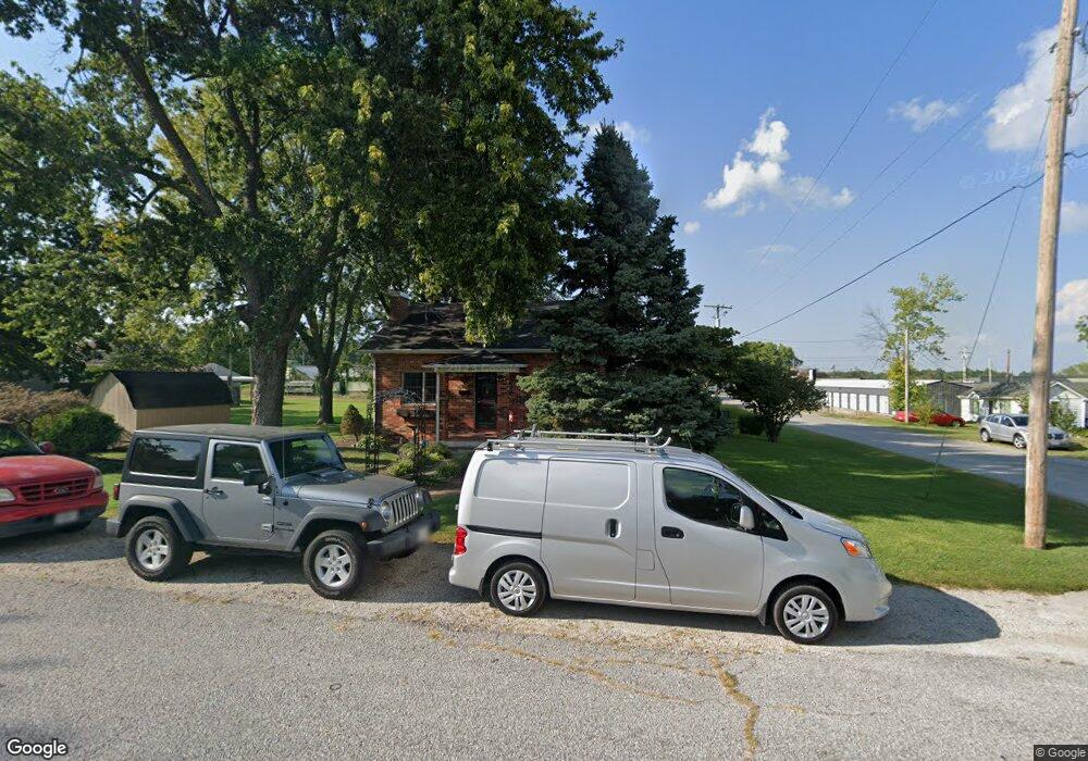
427 E Rock St Aurora, MO 65605
Estimated Value: $116,000 - $131,000
3
Beds
1
Bath
993
Sq Ft
$122/Sq Ft
Est. Value
About This Home
This home is located at 427 E Rock St, Aurora, MO 65605 and is currently estimated at $120,769, approximately $121 per square foot. 427 E Rock St is a home located in Lawrence County with nearby schools including Pate Early Childhood Center, Robinson Intermediate School, and Robinson Elementary School.
Ownership History
Date
Name
Owned For
Owner Type
Purchase Details
Closed on
Jan 11, 2020
Sold by
Werdein Sherri Kay and Stroud Terry Dale
Bought by
Stroud Sherril Kay and Stroud Terry Dale
Current Estimated Value
Purchase Details
Closed on
Aug 29, 2006
Sold by
Werdein Edward E and Werdein May Dean
Bought by
Werdein Sherri Kay
Purchase Details
Closed on
Aug 18, 2006
Sold by
Werdein Edward E and Werdein May Dean
Bought by
Werdein Sherri Kay
Create a Home Valuation Report for This Property
The Home Valuation Report is an in-depth analysis detailing your home's value as well as a comparison with similar homes in the area
Home Values in the Area
Average Home Value in this Area
Purchase History
| Date | Buyer | Sale Price | Title Company |
|---|---|---|---|
| Stroud Sherril Kay | -- | None Available | |
| Werdein Sherri Kay | -- | None Available | |
| Werdein Sherri Kay | -- | None Available |
Source: Public Records
Tax History
| Year | Tax Paid | Tax Assessment Tax Assessment Total Assessment is a certain percentage of the fair market value that is determined by local assessors to be the total taxable value of land and additions on the property. | Land | Improvement |
|---|---|---|---|---|
| 2025 | $386 | $8,300 | $1,250 | $7,050 |
| 2024 | $384 | $7,620 | $1,250 | $6,370 |
| 2023 | $382 | $7,620 | $1,250 | $6,370 |
| 2022 | $358 | $7,140 | $1,250 | $5,890 |
| 2021 | $358 | $7,140 | $1,250 | $5,890 |
| 2020 | $340 | $6,710 | $820 | $5,890 |
| 2019 | $334 | $6,710 | $820 | $5,890 |
| 2018 | $334 | $6,710 | $820 | $5,890 |
| 2017 | $332 | $6,710 | $820 | $5,890 |
| 2016 | -- | $6,140 | $820 | $5,320 |
| 2015 | -- | $6,140 | $820 | $5,320 |
| 2014 | -- | $5,670 | $820 | $4,850 |
Source: Public Records
Map
Nearby Homes
- 601 E Highland St
- 317 E Highland St
- 312 S Oak Ave
- 516 E Springfield St
- 825 S Park Ave
- 220 S Park Ave
- 905 S Griffith Ave
- 114 E College St
- 216 S Elliott Ave
- 537 S Jefferson Ave
- 806 E Springfield St
- 23 W Anderson St
- 1015 Mcphail Ave
- 33 W Street Louis St
- 000 Crescent St
- 116 E Hadley St
- 703 S Adams Ave
- 141 W Pleasant St
- 213 W College St
- 723 E Walnut St
- 415 E Rock St
- 418 E Rock St
- 538 S Rinker Ave
- 542 S Rinker Ave
- 409 E Rock St
- 428 E Church St
- 532 S Rinker Ave
- 416 E Rock St
- 546 S Rinker Ave
- 421 E Highland St
- 421 Highland St
- 425 E Highland St
- 403 E Rock St
- 502 E Church St
- 502 E Church St Unit 1316239
- 404 Rock St
- 415 E Highland St
- 516 S Oak Ave
- 516 S Oak Ave Unit 60003411
- 501 E Highland St
Your Personal Tour Guide
Ask me questions while you tour the home.