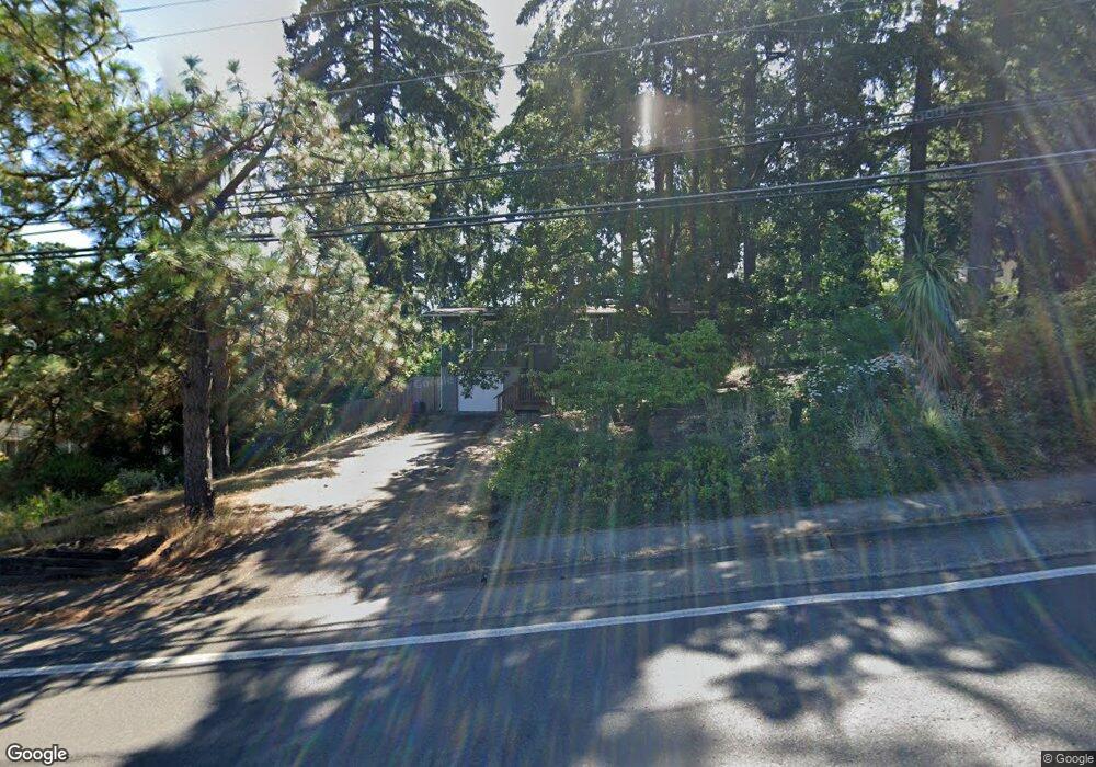
4875 Willamette St Eugene, OR 97405
Southeast Eugene NeighborhoodEstimated Value: $473,000 - $518,000
4
Beds
2
Baths
1,800
Sq Ft
$273/Sq Ft
Est. Value
About This Home
This home is located at 4875 Willamette St, Eugene, OR 97405 and is currently estimated at $491,180, approximately $272 per square foot. 4875 Willamette St is a home located in Lane County with nearby schools including Edgewood Community Elementary School, Spencer Butte Middle School, and South Eugene High School.
Ownership History
Date
Name
Owned For
Owner Type
Purchase Details
Closed on
Feb 5, 2007
Sold by
Eulau Peter D and Hume Kendra
Bought by
Ruzicka James J and Bayraktaroglu Leyla
Current Estimated Value
Home Financials for this Owner
Home Financials are based on the most recent Mortgage that was taken out on this home.
Original Mortgage
$23,900
Interest Rate
5.91%
Mortgage Type
Stand Alone Second
Purchase Details
Closed on
Aug 11, 2004
Sold by
Chagollan George and Chagollan Mary J
Bought by
Mccready Gary L and Eulau Peter D
Home Financials for this Owner
Home Financials are based on the most recent Mortgage that was taken out on this home.
Original Mortgage
$144,800
Interest Rate
6.62%
Mortgage Type
Purchase Money Mortgage
Create a Home Valuation Report for This Property
The Home Valuation Report is an in-depth analysis detailing your home's value as well as a comparison with similar homes in the area
Home Values in the Area
Average Home Value in this Area
Purchase History
| Date | Buyer | Sale Price | Title Company |
|---|---|---|---|
| Ruzicka James J | $239,900 | Pacific Northwest Title Of L | |
| Mccready Gary L | $181,000 | Western Pioneer Title Co |
Source: Public Records
Mortgage History
| Date | Status | Borrower | Loan Amount |
|---|---|---|---|
| Closed | Ruzicka James J | $23,900 | |
| Open | Ruzicka James J | $191,900 | |
| Previous Owner | Mccready Gary L | $144,800 |
Source: Public Records
Tax History
| Year | Tax Paid | Tax Assessment Tax Assessment Total Assessment is a certain percentage of the fair market value that is determined by local assessors to be the total taxable value of land and additions on the property. | Land | Improvement |
|---|---|---|---|---|
| 2025 | $4,216 | $216,367 | -- | -- |
| 2024 | $4,163 | $210,066 | -- | -- |
| 2023 | $4,163 | $203,948 | $0 | $0 |
| 2022 | $3,900 | $198,008 | $0 | $0 |
| 2021 | $3,663 | $192,241 | $0 | $0 |
| 2020 | $3,676 | $186,642 | $0 | $0 |
| 2019 | $3,550 | $181,206 | $0 | $0 |
| 2018 | $3,342 | $170,805 | $0 | $0 |
| 2017 | $3,192 | $170,805 | $0 | $0 |
| 2016 | $3,113 | $165,830 | $0 | $0 |
| 2015 | $3,024 | $161,000 | $0 | $0 |
| 2014 | $2,963 | $156,311 | $0 | $0 |
Source: Public Records
Map
Nearby Homes
- 36 Westbrook Way
- 21 Westbrook Way
- 17 Westbrook Way
- 278 Rockridge Ct
- 4734 Brookwood St
- 126 Treehill Loop Unit 126
- 143 Treehill Loop Unit 143
- 152 Treehill Loop Unit 152
- 151 Treehill Loop Unit 151
- 4845 Brookwood St
- 422 Stonewood Dr Unit 422
- 418 Stonewood Dr Unit 418
- 223 Trailside Loop Unit 223
- 4295 Ferry St
- 170 E 40th Ave
- 4023 Donald St Unit K
- 4425 Hilyard St
- 653 Brookside Dr
- 0 Pine View Ct Unit 758820410
- 434 E 39th Ave
Your Personal Tour Guide
Ask me questions while you tour the home.