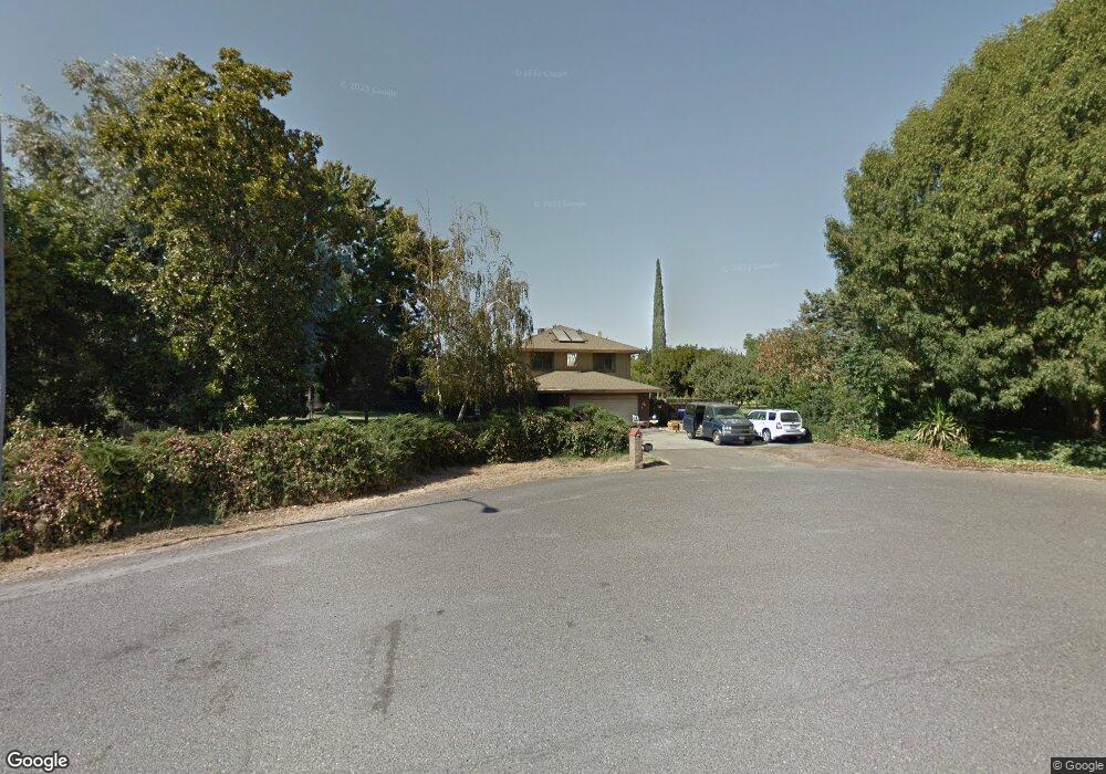
5286 Hartford Ct Atwater, CA 95301
McSwain NeighborhoodEstimated Value: $711,000 - $761,000
4
Beds
3
Baths
2,394
Sq Ft
$308/Sq Ft
Est. Value
About This Home
This home is located at 5286 Hartford Ct, Atwater, CA 95301 and is currently estimated at $736,350, approximately $307 per square foot. 5286 Hartford Ct is a home located in Merced County with nearby schools including McSwain Elementary School, Buhach Colony High School, and Landmark Christian School.
Ownership History
Date
Name
Owned For
Owner Type
Purchase Details
Closed on
Apr 13, 2000
Sold by
Brammer Robert L and Brammer Darlene L
Bought by
Webb Robert A and Webb Marisa
Current Estimated Value
Home Financials for this Owner
Home Financials are based on the most recent Mortgage that was taken out on this home.
Original Mortgage
$200,000
Outstanding Balance
$68,470
Interest Rate
8.22%
Estimated Equity
$667,880
Create a Home Valuation Report for This Property
The Home Valuation Report is an in-depth analysis detailing your home's value as well as a comparison with similar homes in the area
Home Values in the Area
Average Home Value in this Area
Purchase History
| Date | Buyer | Sale Price | Title Company |
|---|---|---|---|
| Webb Robert A | $269,000 | Fidelity National Title Co |
Source: Public Records
Mortgage History
| Date | Status | Borrower | Loan Amount |
|---|---|---|---|
| Open | Webb Robert A | $200,000 |
Source: Public Records
Tax History
| Year | Tax Paid | Tax Assessment Tax Assessment Total Assessment is a certain percentage of the fair market value that is determined by local assessors to be the total taxable value of land and additions on the property. | Land | Improvement |
|---|---|---|---|---|
| 2025 | $4,259 | $413,272 | $76,839 | $336,433 |
| 2024 | $4,259 | $405,170 | $75,333 | $329,837 |
| 2023 | $4,177 | $397,226 | $73,856 | $323,370 |
| 2022 | $4,123 | $389,438 | $72,408 | $317,030 |
| 2021 | $4,093 | $381,803 | $70,989 | $310,814 |
| 2020 | $4,051 | $377,889 | $70,262 | $307,627 |
| 2019 | $3,969 | $370,481 | $68,885 | $301,596 |
| 2018 | $3,882 | $363,218 | $67,535 | $295,683 |
| 2017 | $3,832 | $356,097 | $66,211 | $289,886 |
| 2016 | $3,779 | $349,115 | $64,913 | $284,202 |
| 2015 | $3,731 | $343,872 | $63,938 | $279,934 |
| 2014 | $3,647 | $337,137 | $62,686 | $274,451 |
Source: Public Records
Map
Nearby Homes
- 0 Noah Dr
- 1680 Station Ave
- 0 Moran Ave
- 2484 Sierra Springs Ct
- 2826 Clydesdale Ave
- 5261 W Lucille Ln
- 2651 Herrod Ave
- 1371 Shady Cove Ave
- 5931 Presidio Ct
- 0 Queen Elizabeth Dr
- 5420 Appaloosa Ct
- 5704 W State Highway 140
- 828 Valle Grande Dr
- 4910 4910 Clover Ave
- 3447 Manchester Rd
- 6176 Fleming Rd
- 2590 N Gurr Rd
- 1820 Green Sands Ave
- 1057 Fairway Dr
- 6 Rancho Grande Cir
- 5274 Hartford Ct
- 5277 Oxford Ct
- 5322 Hartford Ct
- 5315 Oxford Ct
- 5315 Hartford Ct
- 5249 Hartford Ct
- 5250 Hartford Ct
- 5280 Oxford Ct
- 2106 Cambridge Dr
- 5316 Oxford Ct
- 5359 Oxford Ct
- 5220 W Failte Ct
- 5216 Noah Dr
- 5216 W Noah Dr
- 5240 Hartford Ct
- 2056 Cambridge Dr
- 5360 Oxford Ct
- 5184 W Failte Ct
- 5289 Elliott Ave
- 5182 Noah Dr
Your Personal Tour Guide
Ask me questions while you tour the home.